
Milford Mine Memorial Park near Wolford in Crow Wing County, Minnesota — The American Midwest (Upper Plains)
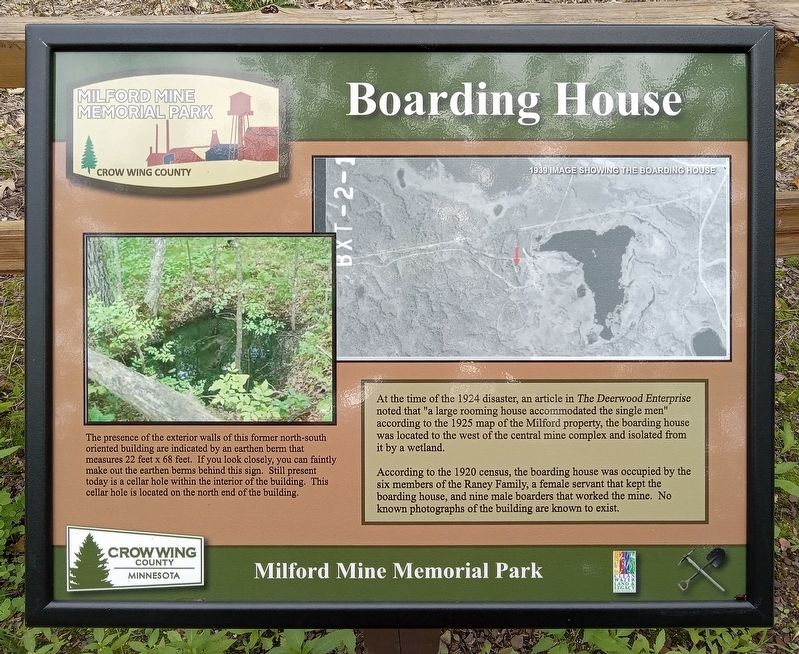
Boarding House
| — | Milford Mine Memorial Park | — |
Photographed by McGhiever, June 27, 2025
1. Boarding House Marker
1939 image showing the boarding house
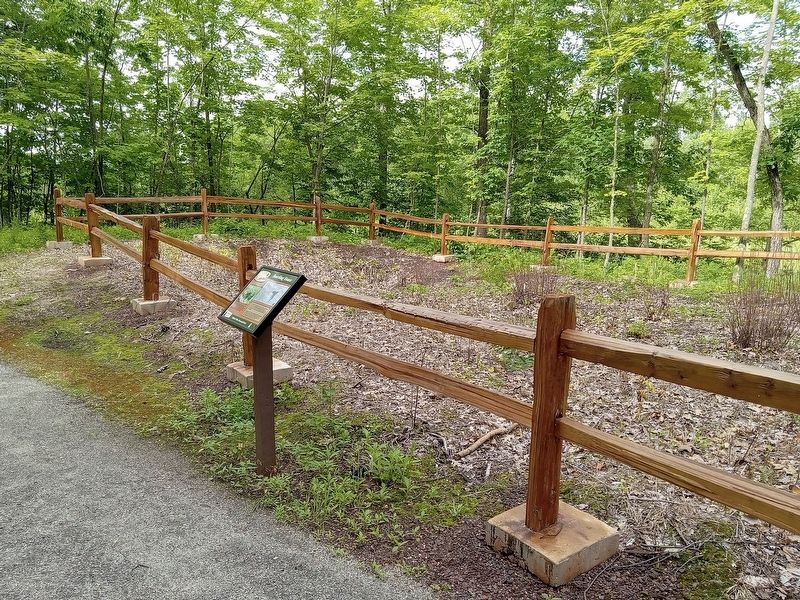
The presence of the exterior walls of this former north-south oriented building are indicated by an earthen berm that measures 22 feet x 68 feet. If you look closely, you can faintly make out the earthen berms behind this sign. Still present today is a cellar hole within the interior of the building. This cellar hole is located on the north end of the building.
At the time of the 1924 disaster, an article in The Deerwood Enterprise noted that "a large rooming house accommodated the single men" according to the 1925 map of the Milford property, the boarding house was located to the west of the central mine complex and isolated from it by a wetland.
According to the 1920 census, the boarding house was occupied by the six members of the Raney Family, a female servant that kept the boarding house, and nine male boarders that worked the mine. No known photographs of the building are known to exist.
Topics. This historical marker is listed in this topic list: Industry & Commerce.
Location. 46° 32.058′ N, 93° 58.427′ W. Marker is
this page online

Regionally, this marker is in Minnesota’s Northland. It is also in the American Midwest, in the Corn Belt, and in the Great River Road Region. Globally, it is in North America, the Great North Woods, the Western Hemisphere, the Western World, and the Anglosphere. Historically, it finds itself in what was once Rupert’s Land, the territory of the Mississippian Culture, and the Northwest Territory.
Other nearby markers. At least 8 other markers are within walking distance of this marker: Storage Facility (within shouting distance of this marker); Soo Line Railroad Hauls Cuyuna Ore (within shouting distance of this marker); Barrow Pits for Rail Grade & Road Construction (within shouting distance of this marker); Mud Run, Launder & Dikes (about 300 feet away, measured in a direct line); Water Tank (about 400 feet away); Example of Timberwork Along the Main Shaft (about 400 feet away);
Photographed by McGhiever, June 27, 2025
2. Boarding House Marker in Milford Mine Memorial Park
Credits. This page was last revised on August 28, 2026. It was originally submitted on August 28, 2026, by McGhiever of Minneapolis, Minnesota. This page has been viewed 7 times since then. Photos: 1, 2. submitted on August 28, 2026, by McGhiever of Minneapolis, Minnesota.
