
Near Gainesville in Cooke County, Texas — The American South (West South Central)
Oak Grove Community

Photographed by Joe Lotz, August 30, 2026
1. Oak Grove Community Marker
In the 1860s, George Sanford Norrid left his Missouri home with his wife, Tabitha, and family and moved to Texas, settling in this area and offering their home for church services. In 1875, F.M. Dougherty and George Norrid deeded land for a Methodist Episcopal church; Norrid’s donation preserved land for a cemetery. When Tabitha Norrid died in January 1876, she was the first buried in what became the Oak Grove Cemetery. Area families used the church building for school and worship until 1884, when they moved the building, and with it the school and church, to nearby Woodbine. The Methodist church later deeded its land to the cemetery association, which maintains the burial ground.
Erected 2005 by Texas Historical Commission. (Marker Number 13811.)
Topics. This historical marker is listed in this topic list: Settlements & Settlers. A significant historical month for this entry is January 1876.
Location. 33° 36.463′ N, 97° 2.19′ W. Marker is near Gainesville, Texas, in Cooke County. It is on County Road 219 south of Farm to Market Road 678, on the left when traveling south. Touch for map. Marker is at or near this postal address: 872 Co Rd 219, Gainesville TX 76240, United States of America. Touch for directions.

Regionally, this marker is in the Prairies & Lakes Region. It is also in the American South. Globally, it is in North America, a Gulf of Mexico state, the Western Hemisphere, the Western World, and the Anglosphere. Historically, it finds itself in what was once New Spain, the Republic of Texas, one of the Confederate States of America, and the Antebellum South.
Other nearby markers. At least 8 other markers are within 6 miles of this marker, measured as the crow flies: Nelson Grove Cemetery (approx. 2.3 miles away); The Cross Timbers (approx. 2.9 miles away); Gainesville (approx. 3 miles away);
this page online
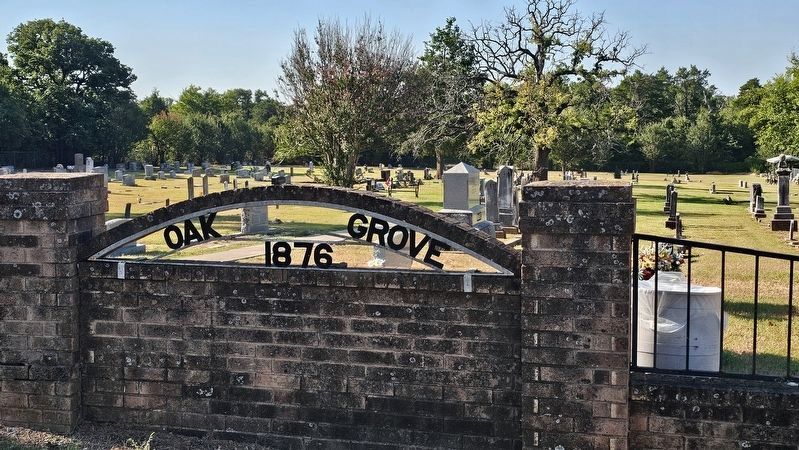
Photographed by Joe Lotz, August 30, 2026
2. Oak Grove Cemetery
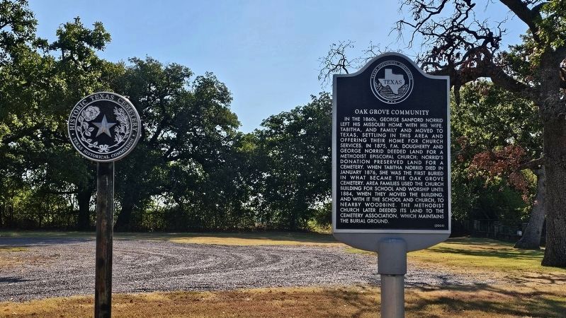
Photographed by Joe Lotz, August 30, 2026
3. Oak Grove Cemetery (Medallion)
The cemetery medallion Texas Historical Commission Atlas #15295.
Credits. This page was last revised on September 4, 2026. It was originally submitted on August 30, 2026, by Joe Lotz of Flower Mound, Texas. This page has been viewed 7 times since then. Photos: 1. submitted on August 30, 2026, by Joe Lotz of Flower Mound, Texas. 2, 3. submitted on September 1, 2026, by Joe Lotz of Flower Mound, Texas. • James Hulse was the editor who published this page.
