Arlington Heights in Portland in Multnomah County, Oregon — The American West (Northwest)
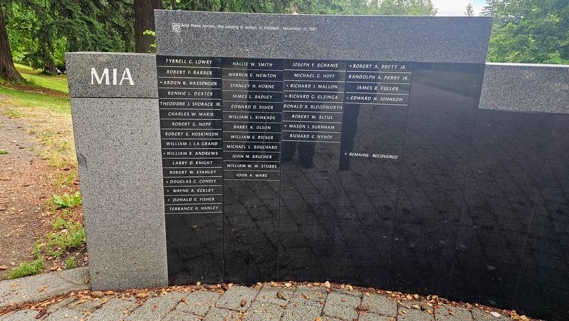
MIA
| — | Oregon Vietnam Veterans Living Memorial | — |
Photographed by Ian Lefkowitz, June 26, 2026
1. MIA Marker
Tyrrell G. Lowry • Robert F. Barber • ★ Arden K. Hassenger • Bennie L. Dexter • Theodore J. Shorack Jr. • Charles W. Marik • Robert G. Nopp • Robert E. Hoskinson • William J. La Grand • ★ William R. Andrews • Larry D. Knight • Robert W. Stanley • ★ Douglas C. Condit • ★ Wayne A. Eckley • ★ Donald E. Fisher • Terrance H. Hanley • Hallie W. Smith • Warren E. Newton • Stanley H. Horne • James L. Badley • Edward D. Silver • William L. Kinkade • Barry A. Olson • William E. Ricker • Michael L. Bouchard • John M. Brucher • William W. W. Stubbs • John A. Ware • Joseph Y. Echanis • Michael G. Hoff • ★ Richard J. Mallon • ★ Richard G. Elzinga • Donald B. Bloodworth • Robert W. Altus • ★ Mason I. Burnham • Richard E. Nyhof • ★ Robert A. Brett Jr. • Randolph A. Perry Jr. • James R. Fuller • ★ Edward H. Johnson
★ Remains recovered
Erected 1987.
Topics. This memorial is listed in this topic list: War, Vietnam.
Location. 45° 30.752′ N, 122° 43.095′ W.
this page online

Regionally, this memorial is in the Columbia River Gorge and in the Willamette Valley. It is also on the American Pacific Coast, in the Pacific Northwest, and in the Lewis & Clark Corridor. Globally, it is in North America, on the Ring of Fire, on the Pacific Rim, in the Western Hemisphere, in the Western World, and in the Anglosphere.
Other nearby markers. At least 8 other markers are within walking distance of this marker: 1972 – 1976 (within shouting distance of this marker); 1970 – 1971 (within shouting distance of this marker); Garden of Solace (within shouting distance of this marker); Oregon Vietnam Veterans Living Memorial (about 300 feet away, measured in a direct line); 1968 – 1969 (about 300 feet away); 1966 – 1967 (about 400 feet away);
Photographed by Ian Lefkowitz, June 26, 2026
2. MIA Marker
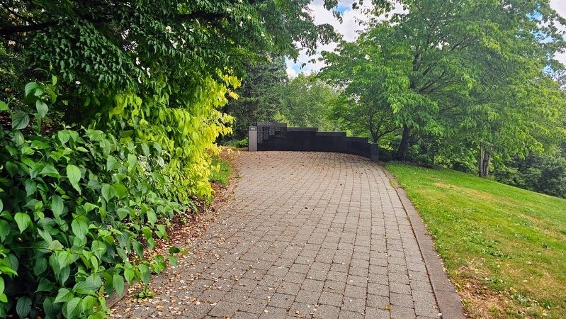
This memorial is found at the end of the Vietnam Veterans Memorial Pathway. The exit leads to the remainder of Hoyt Arboretum.
Photographed by Ian Lefkowitz, June 26, 2026
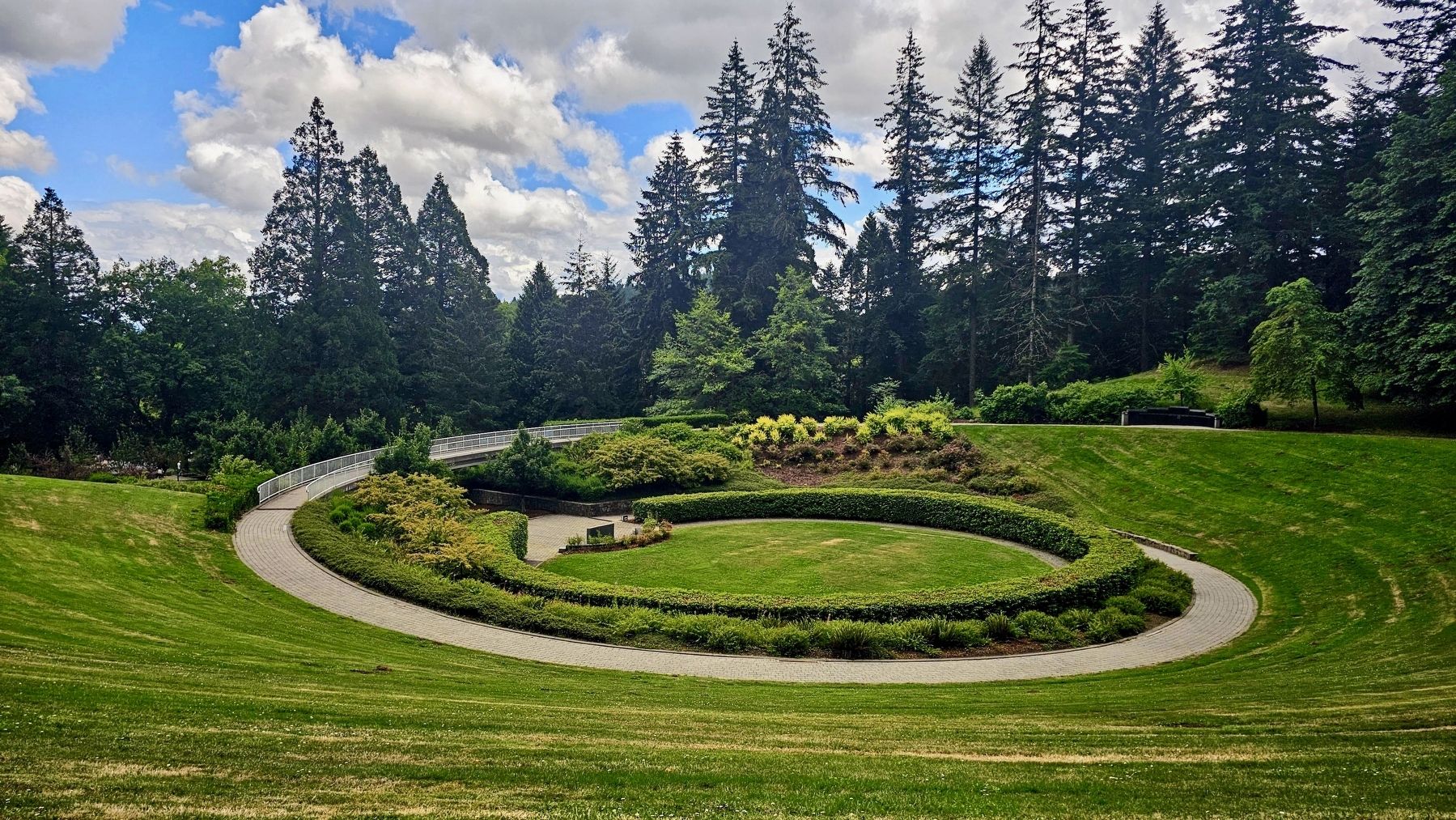
3. The Garden of Solace
A view from the end of the Oregon Vietnam Veterans Living Memorial.
Credits. This page was last revised on September 1, 2026. It was originally submitted on August 31, 2026, by Ian Lefkowitz of New York, New York. This page has been viewed 8 times since then. Photos: 1, 2, 3. submitted on August 31, 2026, by Ian Lefkowitz of New York, New York. • Andrew Ruppenstein was the editor who published this page.
