Broadalbin in Fulton County, New York — The American Northeast (Mid-Atlantic)
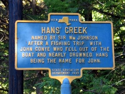
Hans' Creek
Erected 1929 by State Education Department.
Topics. This historical marker is listed in this topic list: Notable Events.
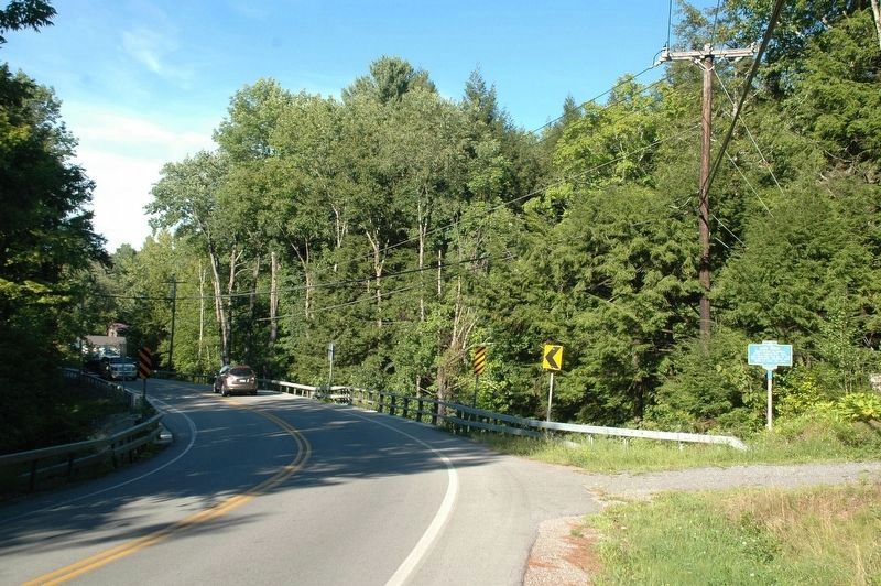
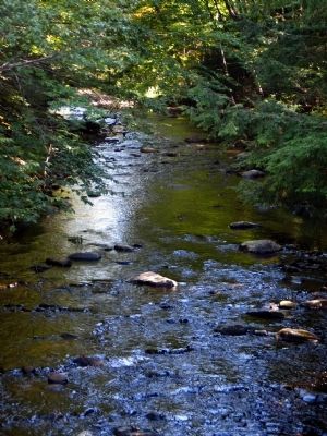
Location. 43° 7.228′ N, 74° 8.272′ W. Marker is in Broadalbin, New York, in Fulton County. Marker is on County Route 110, on the right when traveling north. This marker is located north on Route 110, beyond the settlement of North Broadalbin and near the settlement known as Benedict Corners. Here the road makes a turn and near by Hans Creek crosses. (Note: this marker is somewhat hidden by the trees around it. It is located on the south side of the road by the creek.). Touch for map. Marker is at or near this postal address: 1128 Route 110, Broadalbin NY 12025, United States of America. Touch for directions.
Other nearby markers. At least 8 other markers are within 2 miles of this marker, measured as the crow flies. Sacandaga Pike (approx. 0.3 miles away); Benedict (approx. 0.4 miles away); Frenchmans Creek (approx. 1.6 miles away); Marvin House (approx. 1.8 miles away); Covered Bridge (approx. 1.8 miles away); "Fish House" (approx. 1.8 miles away); St John House (approx. 1.8 miles away); Old Fish House (approx. 1.9 miles away). Touch for a list and map of all markers in Broadalbin.
More about this marker. This marker also designates a place in the northern portion of the Town of Broadalbin which is one of the tributaries emptying into the Great Sacandaga Lake. It was so named by Sir William Johnson on one of his many fishing excursions on the old Sacandaga Vlaie. An incident occurred when a fishing companion of Sir William, a Dutchman by the name of John Conye, fell out of the boat they were fishing in and nearly drowned. Hans was derived from the German version of the name John.
- Lewis G. Decker, Fulton County Historian
Also see . . . More Great Sacandaga Lake History. (Submitted on May 20, 2010, by ELizabeth Emery of Gloversville, New York.)
Additional keywords. Has Creek, Sir William Johnson, Edinburg, New York, Sacandaga
Credits. This page was last revised on July 25, 2018. It was originally submitted on May 20, 2010, by ELizabeth Emery of Gloversville, New York. This page has been viewed 1,000 times since then and 33 times this year. Photos: 1. submitted on May 20, 2010, by ELizabeth Emery of Gloversville, New York. 2. submitted on September 1, 2016, by Howard C. Ohlhous of Duanesburg, New York. 3. submitted on May 20, 2010, by ELizabeth Emery of Gloversville, New York. • Bill Pfingsten was the editor who published this page.


