
Fort Frances in Rainy River District, Ontario — Central Canada (North America)
Forest to Wood Yard
| — | Discover Fort Frances | — |
Photographed by Cosmos Mariner, June 16, 2024
1. Forest to Wood Yard Marker
Seeing the Trees in the Forest
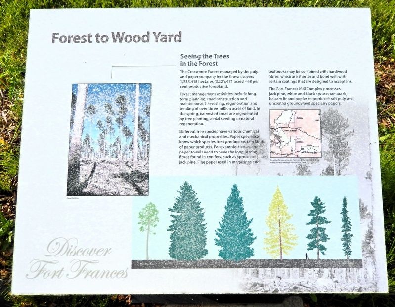
The Crossroute Forest, managed by the pulp and paper company for the Crown, covers 1,338,415 hectares (3,221,471 acres) — 68 per cent productive forestland.
Forest management activities include long-term planning, road construction and maintenance, harvesting, regeneration and tending of over three million acres of land. In the spring, harvested areas are regenerated by tree planting, aerial seeding or natural regeneration.
Different tree species have various chemical and mechanical properties. Paper specialists know which species best produce certain kinds of paper products. For example, tissues and paper towels need to have the long, strong fibers found in conifers, such as spruce or jack pine. Fine paper used in magazines and textbooks may be combined with hardwood fibers, which are shorter and bond well with certain coatings that are designed to accept ink.
The Fort Frances Mill Complex processes jack pine, white and black spruce, tamarack, balsam fir and poplar to produce kraft pulp and uncoated groundwood specialty papers.
[image captions]
• Forest Cut Over
• Canadian Concessions in the
this page online
Topics. This historical marker is listed in these topic lists: Horticulture & Forestry • Industry & Commerce.
Location. 48° 36.429′ N, 93° 22.565′ W. Marker is in Fort Frances, Ontario, in Rainy River District. It is on Front Street 0.1 kilometers west of Minnie Avenue, on the left when traveling west. The marker is near a playground at the base of the Lookout Tower on the Waterfront. Touch for map. Marker is at or near this postal address: 1011 Front Street, Fort Frances ON P9A 1A3, Canada. Touch for directions.

Regionally, this marker is in Northern Ontario and specifically in Northwest Ontario. It is also in Central Canada. Globally, it is in North America, the Great North Woods, the Western Hemisphere, the Western World, and the Anglosphere. Historically, it finds itself in what was once a British colony, the Viceroyalty of New France, the Haudenosaunee (Iroquois) Confederacy, and Rupert’s Land.
Other nearby markers. At least 8 other markers are within walking distance of this marker:
Photographed by Cosmos Mariner, June 16, 2024
2. Forest to Wood Yard Marker
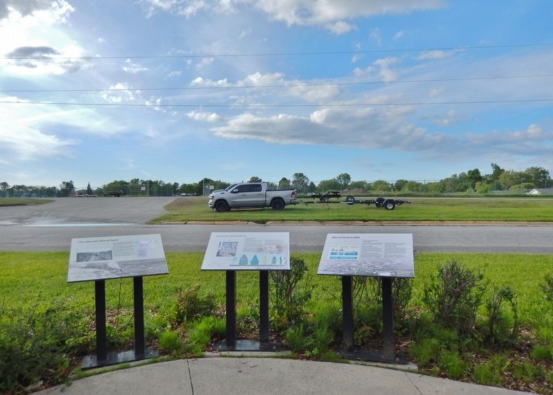
Looking north across Front Street. This marker is the center one of three interpretive panels at this location.
Credits. This page was last revised on September 3, 2026. It was originally submitted on September 2, 2026, by Cosmos Mariner of Cape Canaveral, Florida. This page has been viewed 7 times since then. Photos: 1, 2. submitted on September 3, 2026, by Cosmos Mariner of Cape Canaveral, Florida.
