
Prince Rupert in North Coast, British Columbia — Canada’s West Coast (North America)
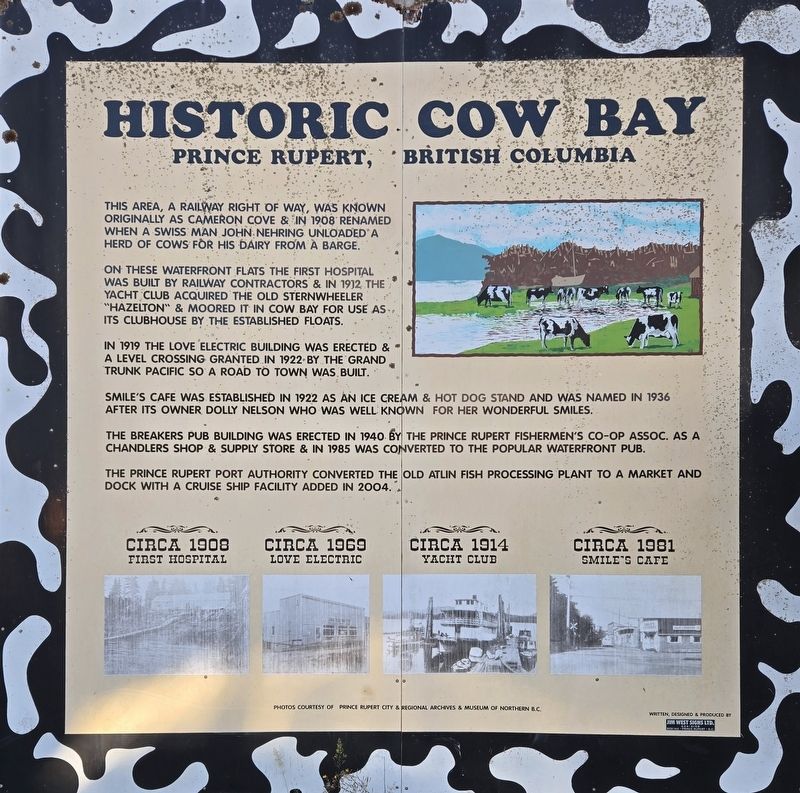
Historic Cow Bay
Prince Rupert, British Columbia
Photographed by Bradley Owen, August 14, 2026
1. Historic Cow Bay Marker
This area, a Railway right of way, was known originally as Cameron Cove & in 1908 renamed when a Swiss man John Nehring unloaded a herd of cows for his dairy from a barge.
On these waterfront flats the first hospital was built by Railway contractors & in 1912 the yacht club acquired the old sternwheeler "Hazelton" & moored it in Cow Bay for use as its clubhouse by the established floats.
In 1919 the Love Electric Building was erected & a level crossing granted in 1922 by the Grand Trunk Pacific so a road to town was built.
Smile's Cafe was established in 1922 as an ice cream & hot dog stand and was named in 1936 after its owner Dolly Nelson who was well known for her wonderful smiles.
The Breakers Pub Building was erected in 1940 by the Prince Rupert Fishermen's Co-op Assoc. as a chandlers shop & supply store & in 1985 was converted to the popular waterfront pub.
The Prince Rupert Port Authority converted the old Atlin Fish Processing Plant to a market and dock with a cruise ship facility added in 2004.
(Photo Captions):
Circa 1908 First Hospital
Circa 1969 Love Electric
Circa 1914 Yacht Club
Circa 1981 Smile's Cafe
Topics.
this page online
Location. 54° 19.108′ N, 130° 19.125′ W. Marker is in Prince Rupert, British Columbia, in North Coast. It is on Cow Bay Road south of George Hills Way, on the right when traveling south. Touch for map. Marker is at or near this postal address: 27 Cow Bay Road, Prince Rupert BC V8J 1A5, Canada. Touch for directions.

Regionally, this marker is in Northern BC. Globally, it is in North America, on the Ring of Fire, in the Pacific Rim, in the Western Hemisphere, in the Western World, and in the Anglosphere. Historically, it finds itself in what was once a British colony.
Other nearby markers. At least 8 other markers are within walking distance of this marker: Lloyd Ernest Bud Pierce (about 180 meters away, measured in a direct line); Kazu Maru Memorial (about 240 meters away); Mural: Our Wealth (approx. 0.3 kilometers away); a different marker also named Mural: Our Wealth (approx. 0.3 kilometers away); Prince Rupert Cenotaph (approx. 0.3 kilometers away); Private Allan Milton Olsen
Photographed by Bradley Owen, August 14, 2026
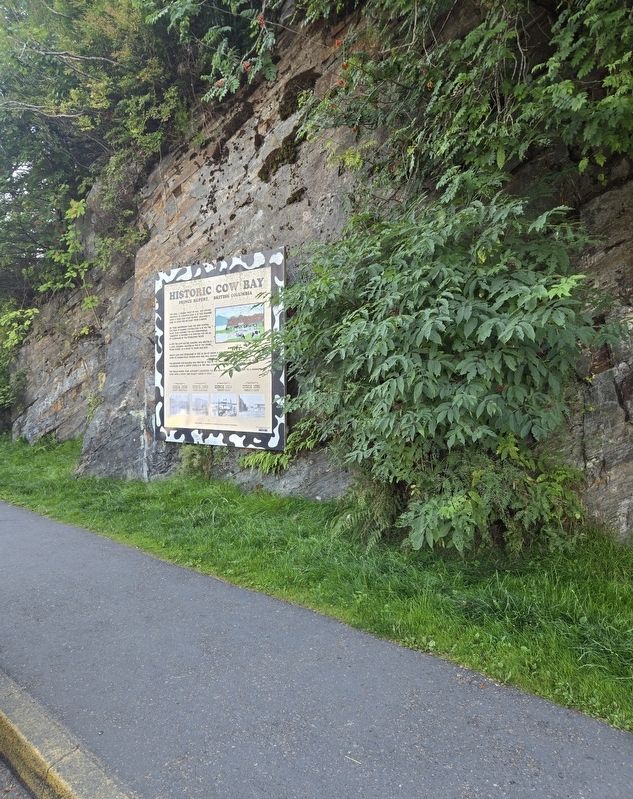
2. Historic Cow Bay Marker
Credits. This page was last revised on September 2, 2026. It was originally submitted on September 2, 2026, by Bradley Owen of Morgantown, West Virginia. This page has been viewed 6 times since then. Photos: 1, 2. submitted on September 2, 2026, by Bradley Owen of Morgantown, West Virginia.
