Blue Ridge in Collin County, Texas — The American South (West South Central)
Frognot Community
Photographed by James Hulse, September 2, 2026
1. Frognot Community Marker
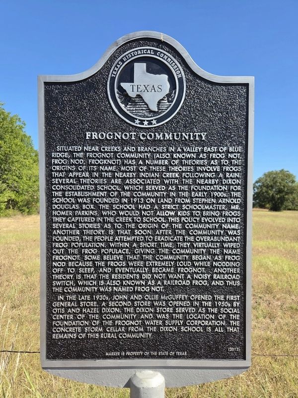
Situated near creeks and branches in a valley east of Blue Ridge, the Frognot community (also known as Frog Not, Frog Nod, Frogknot) has a number of theories as to the origins of its name. Most of these theories involve frogs that appear in the nearby Indian Creek following a rain. Several theories are associated with the nearby Dixon Consolidated School, which served as the foundation for the establishment of the community in the early 1900s. The school was founded in 1913 on land from Stephen Arnold Douglas Box. The school had a strict schoolmaster, Mr. Homer Parkins, who would not allow kids to bring frogs they captured in the creek to school. This policy evolved into several stories as to the origin of the community name. Another theory is that soon after the community was founded, the people attempted to eradicate the overabundant frog population. Within a short time, they virtually wiped out the frog populace, giving the community the name Frognot. Some believe that the community began as Frog Nod because the frogs were extremely loud while nodding off to sleep, and eventually became Frognot. Another theory is that
this page online
In the late 1930s, John and Ollie McGuffey opened the first general store. A second store was opened in the 1950s by Otis and Hazel Dixon. The Dixon Store served as the social center of the community and was the location of the foundation of the Frognot Water Supply Corporation. The concrete storm cellar from the Dixon School is all that remains of this rural community.
Erected 2013 by Texas Historical Commission. (Marker Number 17481.)
Topics. This historical marker is listed in this topic list: Settlements & Settlers. A significant historical year for this entry is 1913.
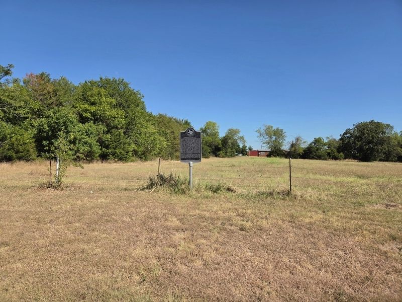
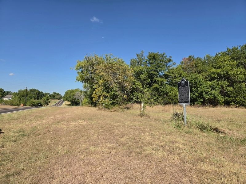
Location. 33° 18.206′ N, 96° 21.284′ W. Marker is in Blue Ridge, Texas, in Collin County. It is on Farm to Market Road 981 0.1 miles west of County Road 671, on the right when traveling west. Touch for map. Marker is at or near this postal address: 13674 FM981, Blue Ridge TX 75424, United States of America. Touch for directions.

Regionally, this marker is in the Prairies & Lakes Region and in the Dallas-Fort Worth Metropolitan
Photographed by James Hulse, September 2, 2026
2. Frognot Community Marker
Other nearby markers. At least 8 other markers are within 6 miles of this marker, measured as the crow flies: Blue Ridge Methodist Church (approx. 2½ miles away); George Washington Smith (approx. 2.6 miles away); Blue Ridge (approx. 2.7 miles away); Grounds Cemetery (approx. 3.4 miles away); Bethlehem Baptist Church (approx. 3.7 miles away); Snow Hill Community (approx. 4.2 miles away); Indian Creek Baptist Church and Cemetery (approx. 5 miles away); Lane Cemetery (approx. 5.3 miles away). Touch for a list and map of all markers in Blue Ridge.
Photographed by James Hulse, September 2, 2026
3. Frognot Community Marker
Credits. This page was last revised on September 3, 2026. It was originally submitted on September 2, 2026, by James Hulse of Medina, Texas. This page has been viewed 20 times since then. Photos: 1, 2, 3. submitted on September 3, 2026, by James Hulse of Medina, Texas.
