Near Farmersville in Collin County, Texas — The American South (West South Central)
Sugar Hill
Photographed by James Hulse, September 2, 2026
1. Sugar Hill Marker
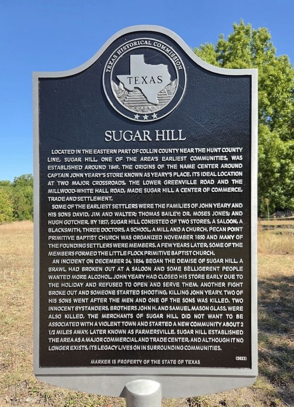
Located in the eastern part of Collin County near the Hunt County line, Sugar Hill, one of the area’s earliest communities, was established around 1849. The origins of the name center around Captain John Yeary’s store known as Yeary’s Place. Its ideal location at two major crossroads, the Lower Greenville Road and the Millwood-White Hall Road, made Sugar Hill a center of commerce, trade and settlement.
Some of the earliest settlers were the families of John Yeary and his sons David, Jim and Walter; Thomas Bailey; Dr. Moses Jones; and Hugh Gotcher. By 1857, Sugar Hill consisted of two stores, a saloon, a blacksmith, three doctors, a school, a mill and a church. Pecan Point Primitive Baptist Church was organized November 1850 and many of the founding settlers were members. A few years later, some of the members formed the Little Flock Primitive Baptist Church.
An incident on December 24, 1854, began the demise of Sugar Hill. A brawl had broken out at a saloon and some belligerent people wanted more alcohol. John Yeary had closed his store early due to the holiday and refused to open and serve them. Another fight broke
this page online
Erected 2023 by Texas Historical Commission. (Marker Number 23807.)
Topics. This historical marker is listed in this topic list: Settlements & Settlers. A significant historical month for this entry is November 1850.
Location. 33° 10.613′ N, 96° 21.119′ W. Marker is near Farmersville, Texas, in Collin County. It is on Highway 2194 0.1 miles east of Willow Lane (County Road 654), on the left when traveling east. Touch for map. Marker is at or near this postal address: 605 FM2194, Farmersville TX 75442, United States of America. Touch for directions.

Regionally, this marker is in the Prairies & Lakes Region and in the Dallas-Fort
Photographed by James Hulse, September 2, 2026
2. Sugar Hill Marker
Other nearby markers. At least 8 other markers are within one mile of this marker, measured as the crow flies: Farmersville I.O.O.F. Cemetery (approx. 0.7 miles away); First Methodist Church of Farmersville (approx. 0.9 miles away); Honaker-Holsonbake House (approx. 0.9 miles away); Bain-Honaker House (approx. one mile away); Farmersville Masonic Lodge (approx. one mile away); IOOF Pride Lodge 228 (approx. 1.1 miles away); Freedom Plaza (approx. 1.1 miles away); In Memory of Audie L. Murphy (approx. 1.1 miles away). Touch for a list and map of all markers in Farmersville.
Photographed by James Hulse, September 2, 2026
3. Sugar Hill Marker
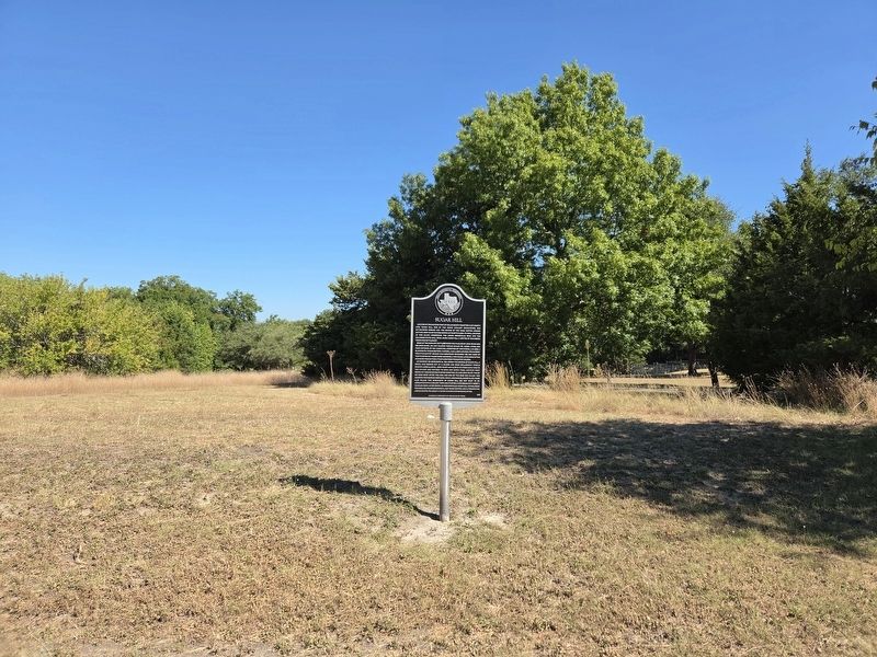
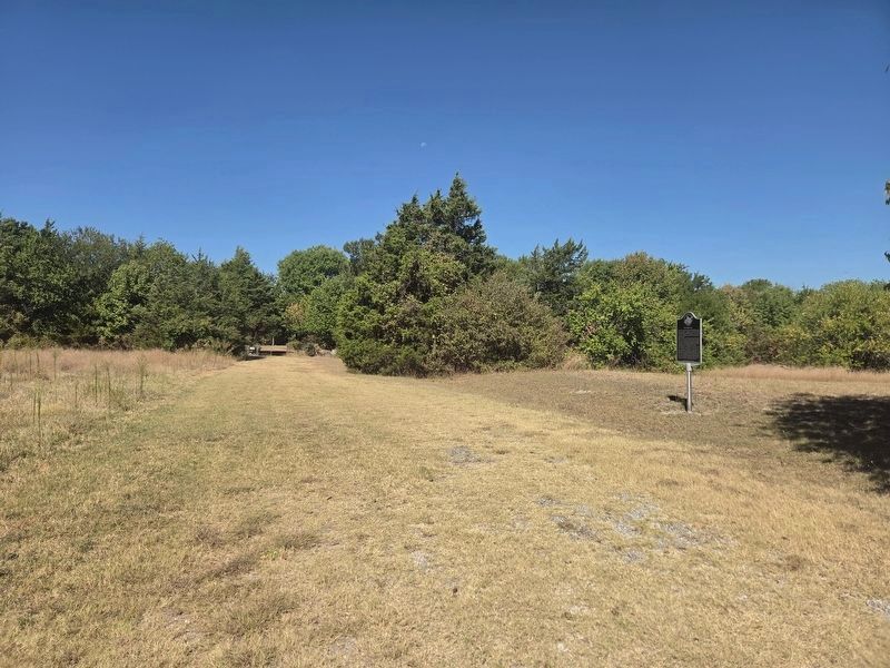
The marker stands at the entrance to the Tatum/Jones-Yeary Cemetery.
Credits. This page was last revised on September 3, 2026. It was originally submitted on September 2, 2026, by James Hulse of Medina, Texas. This page has been viewed 14 times since then. Photos: 1, 2, 3. submitted on September 3, 2026, by James Hulse of Medina, Texas.
