Summerside, Prince Edward Island — The Atlantic Provinces (North America)
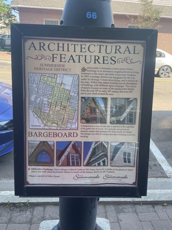
Architectural Features Summerside Heritage District: Bargeboard
Photographed by Jay Noble, August 28, 2026
1. Architectural Features Summerside Heritage District Marker
A Bargeboard is a board trim that is attached to the underside of the gable line of a roof. It is typically carved into an attractive pattern that enhances the front facade of a house. The designs can often be unique and add a finishing touch to a dwelling.
Erected by City of Summerside.
Topics. This historical marker is listed in this topic list: Architecture. A significant historical year for this entry is 2003.
Location. 46° 23.504′ N, 63° 47.549′ W. Marker is in Summerside, Prince Edward Island. It is at the intersection of Water Street and Queen Street, on the right when traveling east on Water Street.
this page online

Regionally, this marker is in the Maritimes and in Atlantic Canada. Globally, it is in the North Atlantic Region, North America, the Western Hemisphere, the Western World, and the Anglosphere. Historically, it finds itself in what was once a British colony and also the Viceroyalty of New France.
Other nearby markers. At least 8 other markers are within walking distance of this marker: Architectural Features Summerside Heritage District: Verandah (a few steps from this marker); Architectural Features Summerside Heritage District: Column (a few steps from this marker); Architectural Features Summerside Heritage District: Belt Course (within shouting distance of this marker); Head of Queen's Wharf (about 90 meters away, measured in a direct line); Irony of History: England, First Nation to Salute the Acadian Flag (about 120 meters away); The Holman Homestead (about 150 meters away); In memory of Carrie Ellen Holman (about 150 meters away); The Summerside Armoury (about 180 meters away). Touch for a list and map of all markers in Summerside.
Credits. This page was last revised on September 13, 2026. It was originally submitted on September 2, 2026, by Jay Noble of Charlottetown, Prince Edward Island. This page has been viewed 10 times since then. Photo 1. submitted on September 2, 2026, by Jay Noble of Charlottetown, Prince Edward Island. • Andrew Ruppenstein was the editor who published this page.
