Saratoga Springs in Saratoga County, New York — The American Northeast (Mid-Atlantic)
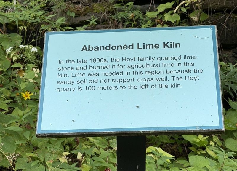
Abandoned Lime Kiln
Photographed by Trudi Jacobson, September 3, 2026
1. Abandoned Lime Kiln Marker
In the late 1800s, the Hoyt family quarried limestone and burned it for agricultural use in this kiln. Lime was needed in this region because the sandy soil did not support crops well. The Hoyt quarry is 100 meters to the left of the kiln.
Erected by New York State Museum.
Topics. This historical marker is listed in this topic list: Industry & Commerce.
Location. 43° 5.534′ N, 73° 50.884′ W. Marker is in Saratoga Springs, New York, in Saratoga County. It is on Lester Park Road south of Middle Grove Road when traveling south. Touch for map. Marker is at or near this postal address: 41 Lester Park Road, Saratoga Springs NY 12866, United States of America. Touch for directions.

Regionally, this marker is in Upstate New York, in the Capital District, and in the Albany Metropolitan Area. It is also in the American Northeast and in the Mid-Atlantic. Globally, it is in North America, the Great North Woods, the Western Hemisphere, the Western World, and the Anglosphere. Historically, it finds itself in what was once New Netherland and also one of the original
this page online
Other nearby markers. At least 8 other markers are within 3 miles of this marker, measured as the crow flies: Lester Park (a few steps from this marker); Rowland's Hollow (approx. 1.7 miles away); North Milton (approx. 2.1 miles away); Whitney Field (approx. 2.3 miles away); Dedicated To (approx. 2.4 miles away); Town Hall (approx. 2½ miles away); First Town Meeting (approx. 2.6 miles away); Dublin (approx. 3 miles away). Touch for a list and map of all markers in Saratoga Springs.
More about this marker. This marker is across Lester Park Road from the pull-off for the Lester Park site, a 490-million-year-old fossilized sea floor. They are all part of a New York State Museum outside exhibit.
Related marker. Click here for another marker that is related to this marker.
Photographed by Trudi Jacobson, September 3, 2026
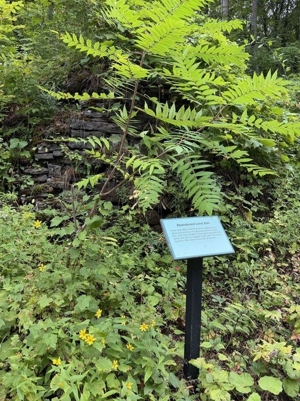
2. Abandoned Lime Kiln Marker
The lime kiln ruin is barely visible behind the curtain of foliage.
Credits. This page was last revised on September 11, 2026. It was originally submitted on September 3, 2026, by Trudi Jacobson of Slingerlands, New York. This page has been viewed 16 times since then. Photos: 1, 2. submitted on September 3, 2026, by Trudi Jacobson of Slingerlands, New York. • Michael Herrick was the editor who published this page.
