Near Capon Bridge in Hampshire County, West Virginia — The American South (Appalachia)
Capon Chapel
Photographed by Bradley Owen, August 30, 2026
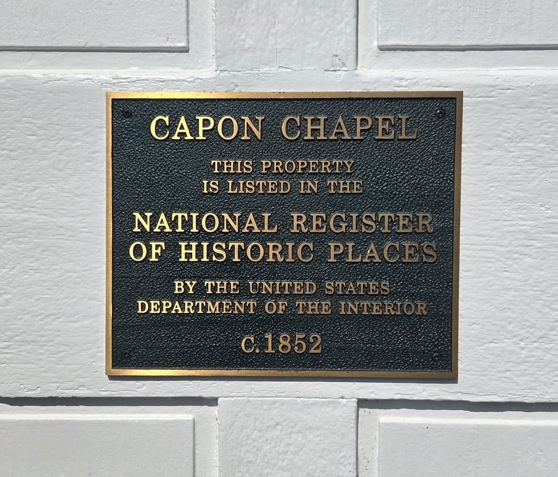
1. Capon Chapel Marker
is listed in the
National Register
of Historic Places
by the United States
Department of the Interior
c. 1852
Topics and series. This historical marker is listed in this topic list: Religion & Religious Structures. In addition, it is included in the National Register of Historic Places (NRHP) series list. A significant historical year for this entry is 1852.
Location. 39° 16.184′ N, 78° 26.652′ W. Marker is near Capon Bridge, West Virginia, in Hampshire County. It is on Christian Church Road (County Route 13) 0.2 miles north of Glenco School Road (County Route 13/5), on the right when traveling north. Marker is located on the back door (east side) of the church. Touch for map. Marker is at or near this postal address: 2031 Christian Church Road, Capon Bridge WV 26711, United States of America. Touch for directions.

Regionally, this marker is in the Eastern Panhandle. It is also in the American South, specifically in the Upper South, in Appalachia, and specifically in Northern Appalachia. Globally, it is in North America, the Western Hemisphere, the Western World, and the Anglosphere. Historically,
this page online
Other nearby markers. At least 8 other markers are within 3 miles of this marker, measured as the crow flies: "Marco" (approx. 2 miles away); Northwestern Turnpike (approx. 2 miles away); Fort Edwards (approx. 2 miles away); Edward's Fort Stockade Replica (approx. 2.3 miles away); The Ken Edmonds Memorial Heritage Trail (approx. 2.4 miles away); Soldiers and Settlers (approx. 2.4 miles away); Forts in Col. George Washington's Chain of Forts Guarding the Eighteenth Century Virginia Froniter (approx. 2.4 miles away); The Fort Comes and Goes (approx. 2.4 miles away). Touch for a list and map of all markers in Capon Bridge.
Regarding Capon Chapel.
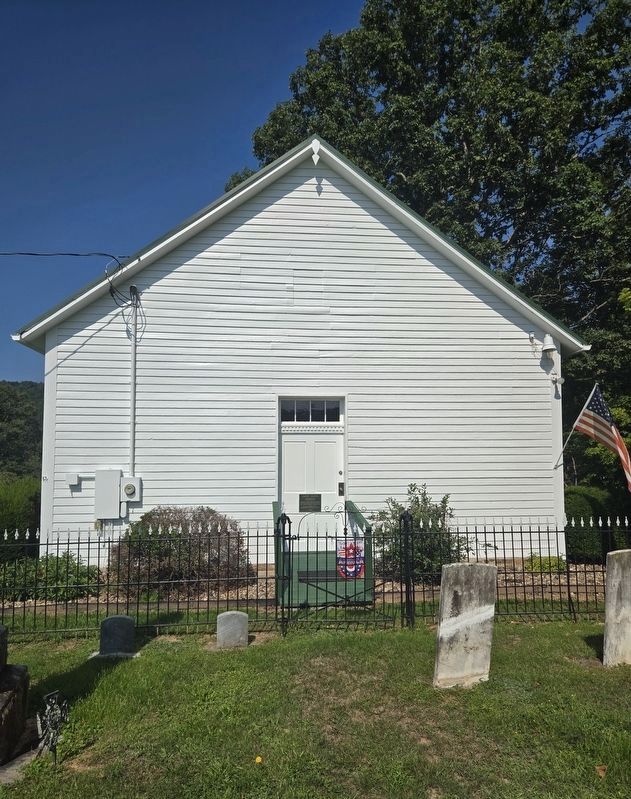
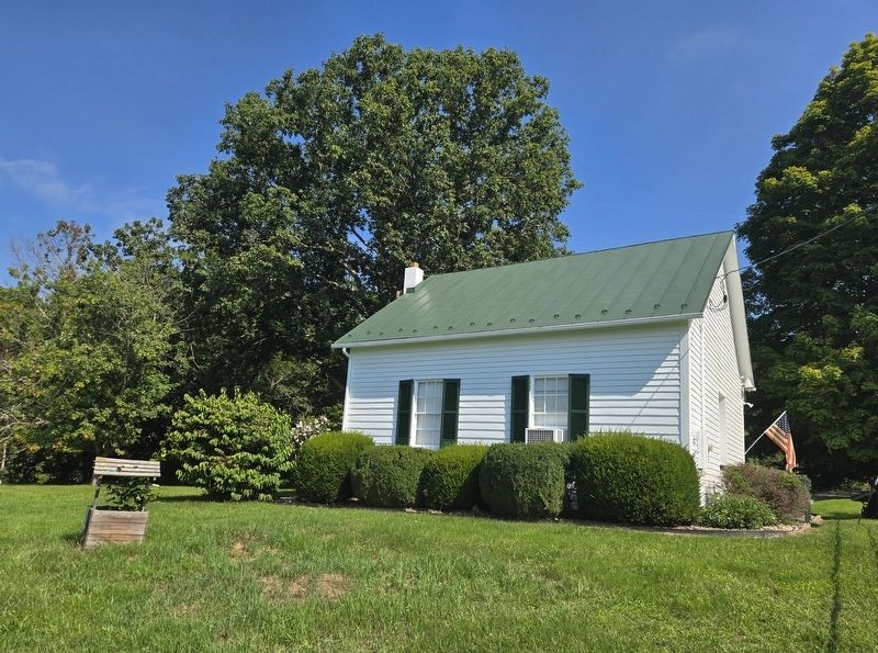
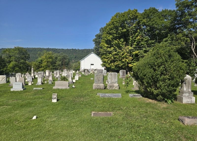
Capon Chapel is one of the oldest existing log churches in Hampshire County, WV. A Baptist congregation was gathering at the site of the present-day church by at least 1756. Primitive Baptist minister John Monroe (1750–1824) is credited for establishing a place of worship at this site; he is interred in the church's cemetery. The land on which Capon Chapel was built originally belongedto William C. Nixon (1789–1869), a member of the Virginia House of Delegates. The first documented mention of a church at the Capon Chapel site was in March 1852. Capon Chapel, along with its cemetery, was added to the National Register of Historic Places on December 12, 2012, in recognition of its representation of the rural religious architecture of the Potomac Highlands region, and for its service as an important rural church in Hampshire County. Capon Chapel's cemetery, established in 1852 (contributing site), is surrounded by a wrought iron fence made by Stewart Iron Works (contributing object, 1860). The fence was restored in 1990.Photographed by Bradley Owen, August 30, 20262. Capon Chapel and Marker
Also see . . . National Register of Historic Places Registration Form. Includes diagrams and photos of the church property and interior. (Submitted on September 3, 2026, by Bradley Owen of Morgantown, West Virginia.)
Photographed by Bradley Owen, August 30, 2026
3. Capon Chapel
Photographed by Bradley Owen, August 30, 2026
4. Capon Chapel Cemetery
Credits. This page was last revised on September 3, 2026. It was originally submitted on September 3, 2026, by Bradley Owen of Morgantown, West Virginia. This page has been viewed 16 times since then. Photos: 1, 2, 3, 4. submitted on September 3, 2026, by Bradley Owen of Morgantown, West Virginia.
