Frisco in Collin County, Texas — The American South (West South Central)
Foncine, Texas
Photographed by James Hulse, September 3, 2026
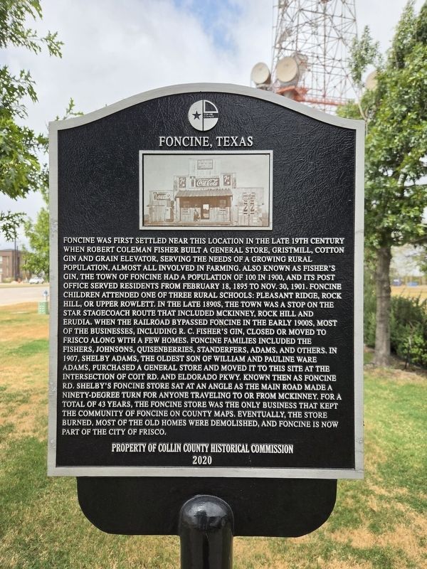
1. Foncine, Texas Marker
Foncine was first settled near this location in the late 19th century when Robert Coleman Fisher built a general store, gristmill, cotton gin and grain elevator, serving the needs of a growing rural population, almost all involved in farming. Also known as Fisher’s Gin, the town of Foncine had a population of 100 in 1900, and its post office served residents from February 18, 1895 to Nov. 30, 1901. Foncine children attended one of three rural schools: Pleasant Ridge, Rock Hill, or Upper Rowlett. In the late 1890s, the town was a stop on the Star stagecoach route that included McKinney, Rock Hill and Erudia. When the railroad bypassed Foncine in the early 1900s, most of the businesses, including R. C. Fisher’s Gin, closed or moved to Frisco along with a few homes. Foncine families included the Fishers, Johnsons, Quisenberries, Standerfers, Adams, and others. In 1907, Shelby Adams, the oldest son of William and Pauline Ware Adams, purchased a general store and moved it to this site at the intersection of Coit Rd. and Eldorado Pkwy., known then as Foncine Rd. Shelby’s Foncine Store sat at an angle as the main road made a ninety-degree
this page online
Erected 2020 by Collin County Historical Commission.
Topics. This historical marker is listed in these topic lists: Industry & Commerce • Settlements & Settlers. A significant historical date for this entry is February 18, 1895.
Location. 33° 10.485′ N, 96° 46.165′ W. Marker is in Frisco, Texas, in Collin County. It is at the intersection of Eldorado Parkway and Coit Road, on the right when traveling west on Eldorado Parkway. Touch for map. Marker is at or near this postal address: 12500 Eldorado Pkwy, Frisco TX 75035, United States of America. Touch for directions.

Regionally, this marker is in the Prairies & Lakes Region and in the Dallas-Fort Worth Metropolitan Area. Globally, it is in North America, a Gulf of Mexico state, the Western Hemisphere, the Western World, and the Anglosphere. Historically, it finds itself in what was once New Spain, the Republic
Photographed by James Hulse, September 3, 2026
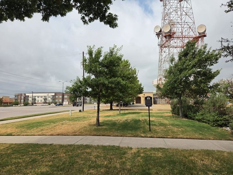
2. Foncine, Texas Marker
The marker is located on the north side of Eldorado Parkway and the west side of Coit Street.
Other nearby markers. At least 8 other markers are within 3 miles of this marker, measured as the crow flies: Bicentennial Park (approx. 2.7 miles away); 1939 Farmall F20 Tractor (approx. 2.7 miles away); Platoon Sergeant Oren Ralph Hill (approx. 2.8 miles away); Site of Rock Hill (approx. 2.8 miles away); The Blackland Prairie and Urban Forests of Frisco (approx. 2.8 miles away); Private Cecil Cleveland Waldrum (approx. 2.8 miles away); Private Lee Harold Derryberry (approx. 2.8 miles away); Technical Sergeant Mabron Paul Johnson (approx. 2.9 miles away). Touch for a list and map of all markers in Frisco.
Credits. This page was last revised on September 4, 2026. It was originally submitted on September 3, 2026, by James Hulse of Medina, Texas. This page has been viewed 15 times since then. Photos: 1, 2. submitted on September 4, 2026, by James Hulse of Medina, Texas.
