Main Street in Kerhonkson in Ulster County, New York — The American Northeast (Mid-Atlantic)
Emanuel "Mendy" Samuels
Photographed by Tracy Andersen Roberts, September 3, 2026
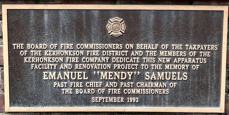
1. Emanuel "Mendy" Samuels Marker
of the Kerhonkson Fire District and the members of the
Kerhonkson Fire Company dedicate this new Apparatus
Facility and Renovation Project to the memory of
Emanuel "Mendy" Samuels
past Fire Chief and past Chairman of
the Board of Fire Commissioners
September 1993
Erected 1993 by Kerhonkson Fire District Board of Commissioners.
Topics. This historical marker is listed in these topic lists: Architecture • Charity & Public Work. A significant historical year for this entry is 1993.
Location. 41° 46.402′ N, 74° 17.713′ W. Marker is in Kerhonkson, New York, in Ulster County. It is in Main Street. It is at the intersection of Main Street and Fordemor Avenue, on the left when traveling east on Main Street. Touch for map. Marker is at or near this postal address: 333 Main Street, Kerhonkson NY 12446, United States of America. Touch for directions.

Regionally, this marker is in Upstate New York and in the Hudson Valley. It is also in the American Northeast, in the Mid-Atlantic, and on the Eastern Seaboard. Globally, it is in the North Atlantic Region,
this page online
Other nearby markers. At least 8 other markers are within 3 miles of this marker, measured as the crow flies: War Memorial (about 300 feet away, measured in a direct line); Oklahoma City Bombing Memorial (about 300 feet away); Rondout Valley Service Members Memorial (about 300 feet away); Colonial Fort (approx. 0.6 miles away); Site of Indian Raid (approx. 1.1 miles away); Home of Johannes G. Hardenbergh (approx. 1.1 miles away); Depuy - Dewitt House (approx. 2½ miles away); Rochester Church (approx. 2.9 miles away). Touch for a list and map of all markers in Kerhonkson.
Also see . . . Kerhonkson Fire Company.
Kerhonkson Fire Company in the hamlet of Kerhonkson. Founded in 1924.(Submitted on September 5, 2026, by Tracy Andersen Roberts of Atlanta, Georgia.)
Photographed by Tracy Andersen Roberts, September 3, 2026
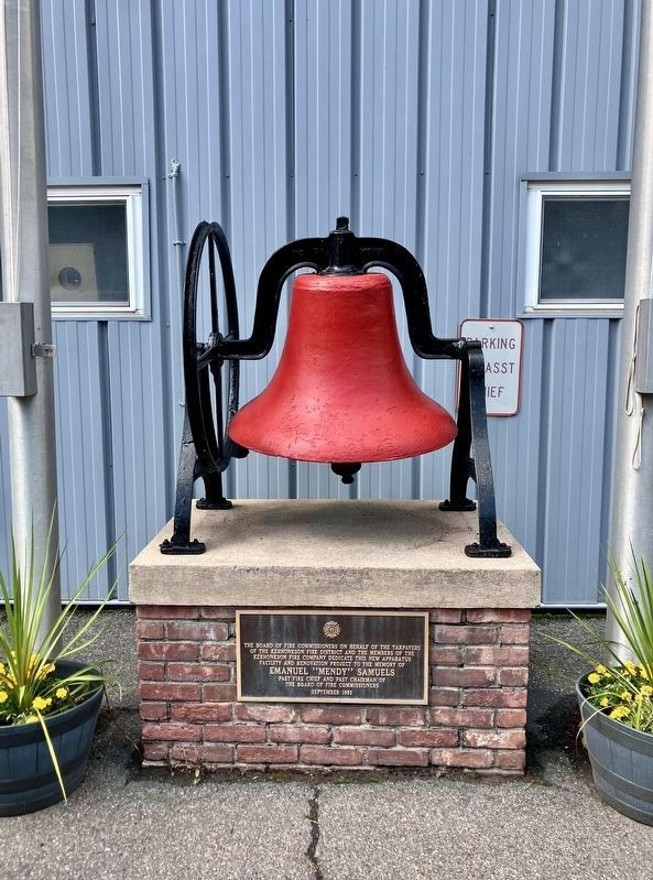
2. Emanuel "Mendy" Samuels Marker
Photographed by Tracy Andersen Roberts, September 3, 2026
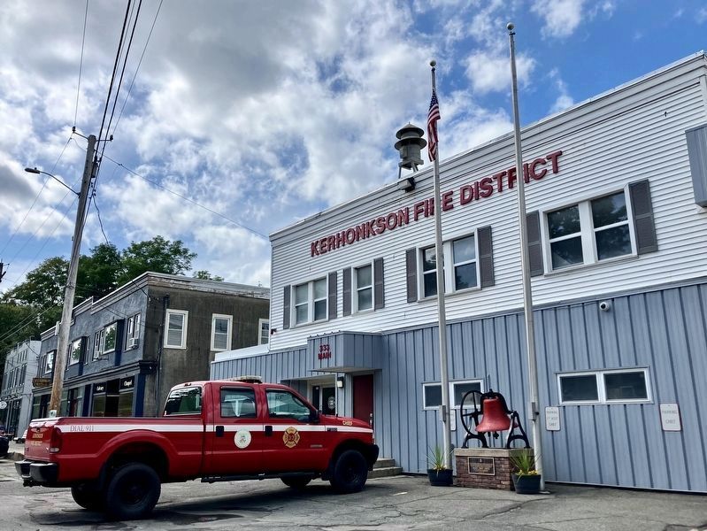
3. Emanuel "Mendy" Samuels Marker
Credits. This page was last revised on September 11, 2026. It was originally submitted on September 4, 2026, by Tracy Andersen Roberts of Atlanta, Georgia. This page has been viewed 11 times since then. Photos: 1. submitted on September 4, 2026, by Tracy Andersen Roberts of Atlanta, Georgia. 2, 3. submitted on September 5, 2026, by Tracy Andersen Roberts of Atlanta, Georgia. • Michael Herrick was the editor who published this page.
