Adams in Seattle in King County, Washington — The American West (Northwest)
Percy Sankey Dry Goods
Built 1893
| — | Ballard Avenue Landmark District | — |
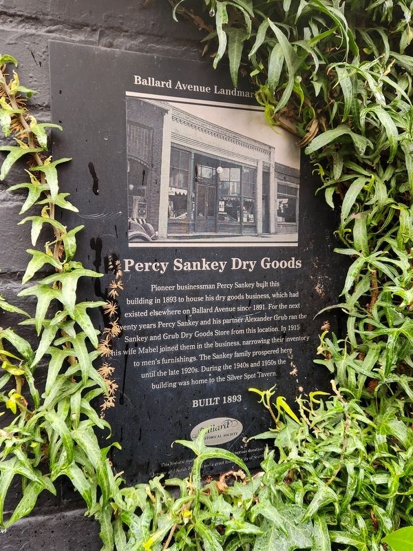
Photographed by Douglass Halvorsen, February 21, 2026
1. Percy Sankey Dry Goods Marker
Erected by Ballard Historical Society.
Topics. This historical marker is listed in this topic list: Industry & Commerce. A significant historical year for this entry is 1893.
Location. 47° 39.974′ N, 122° 22.99′ W. Marker is in Seattle, Washington, in King County. It is in Adams. It is at the intersection of Ballard Avenue Northwest and NW Vernon Place, on the left when traveling north on Ballard Avenue Northwest. Touch for map. Marker is at or near this postal address: 5239 Ballard Avenue NW, Seattle WA 98107, United States of America. Touch for directions.

Regionally, this marker is in the Puget Sound Region.
this page online
Other nearby markers. At least 8 other markers are within walking distance of this marker: White Front and St. Paul Saloons (a few steps from this marker); Matthes Block (a few steps from this marker); Scandinavian-American Bank (within shouting distance of this marker); Kutzner Block (within shouting distance of this marker); Fisher Building (about 300 feet away, measured in a direct line); Junction Building (about 300 feet away); The Curtiss Building (about 300 feet away); G.B. Sanborn Building (about 300 feet away). Touch for a list and map of all markers in Seattle.
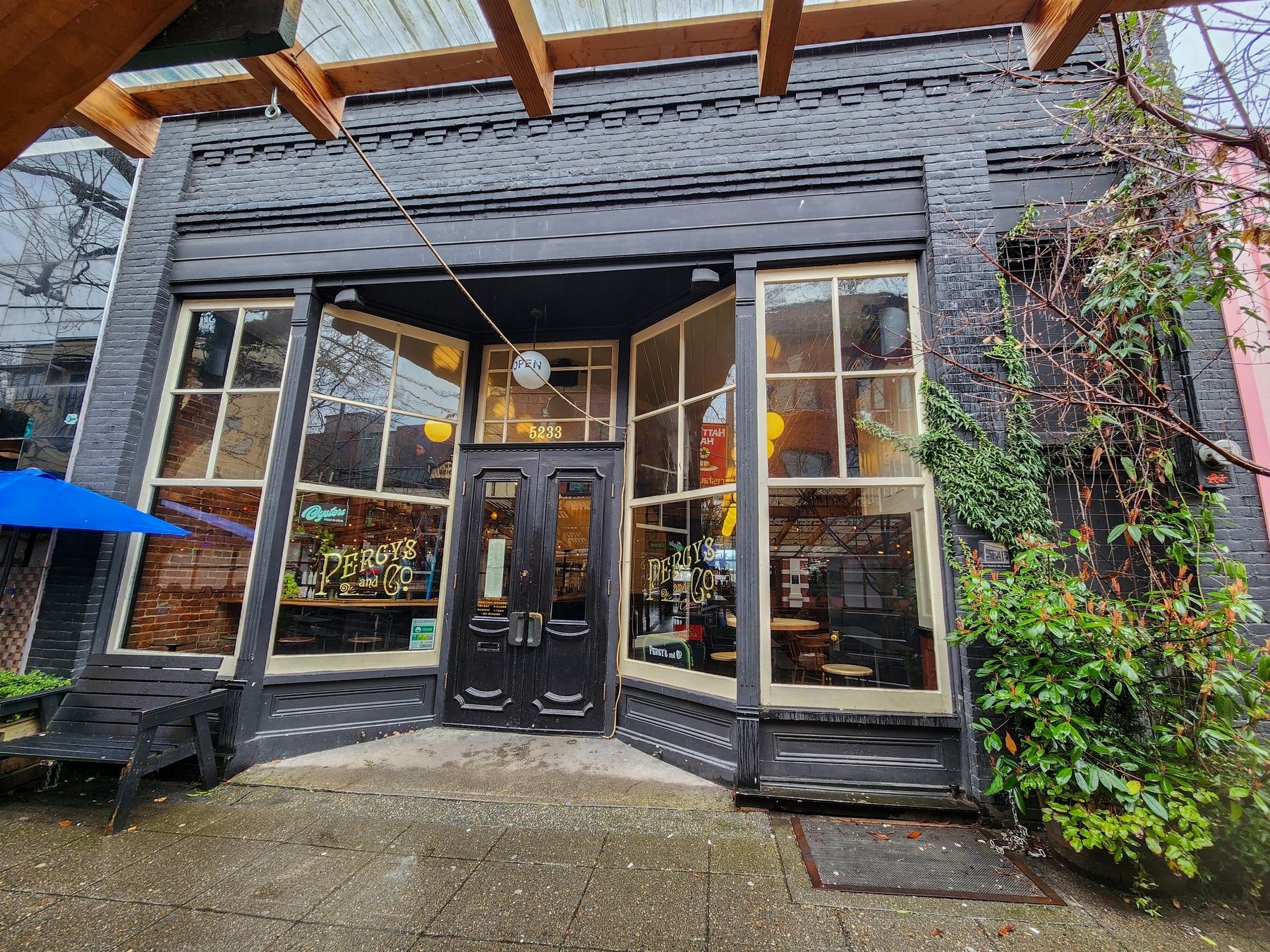
Photographed by Douglass Halvorsen, February 21, 2026
2. Percy Sankey Dry Goods Marker
The marker is partially hidden by vegetation.
Credits. This page was last revised on September 6, 2026. It was originally submitted on September 5, 2026, by Douglass Halvorsen of Klamath Falls, Oregon. This page has been viewed 14 times since then. Photos: 1, 2. submitted on September 5, 2026, by Douglass Halvorsen of Klamath Falls, Oregon. • Andrew Ruppenstein was the editor who published this page.
