Montgomery in Montgomery County, Texas — The American South (West South Central)
Mt Pleasant Missionary Baptist Church
Montgomery, Texas
Photographed by James Hulse, September 5, 2026
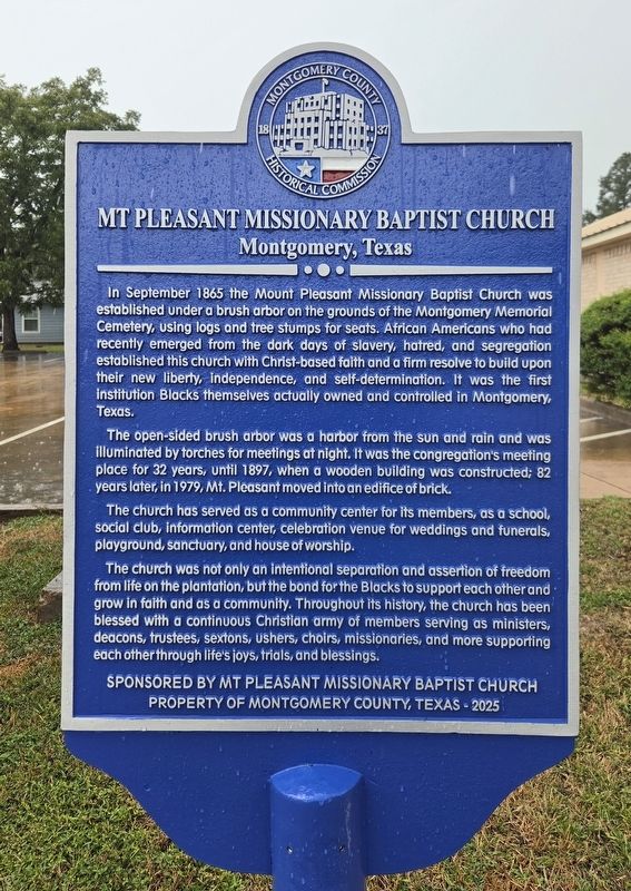
1. Mt Pleasant Missionary Baptist Church Marker
In September 1865 the Mount Pleasant Missionary Baptist Church was established under a brush arbor on the grounds of the Montgomery Memorial Cemetery, using logs and tree stumps for seats. African Americans who had recently emerged from the dark days of slavery, hatred, and segregation established this church with Christ-based faith and a firm resolve to build upon their new liberty, independence, and self-determination. It was the first institution Blacks themselves actually owned and controlled in Montgomery, Texas.
The open-sided brush arbor was a harbor from the sun and rain and was illuminated by torches for meetings at night. It was the congregation’s meeting place for 32 years, until 1897, when a wooden building was constructed; 82 years later, in 1979, Mt. Pleasant moved into an edifice of brick.
The church has served as a community center for its members, as a school, social club, information center, celebration venue for weddings and funerals, playground, sanctuary, and house of worship.
The church was not only an intentional separation and assertion of freedom from life on the plantation, but the bond
this page online
Erected 2025 by Mt Pleasant Missionary Baptist Church and Montgomery County Historical Commission.
Topics. This historical marker is listed in these topic lists: African Americans • Religion & Religious Structures. A significant historical month for this entry is September 1865.
Location. 30° 24.063′ N, 95° 41.984′ W. Marker is in Montgomery, Texas, in Montgomery County. It is at the intersection of Liberty Street (Farm to Market Road 149) and Lawson Road, on the left when traveling north on Liberty Street. Touch for map. Marker is at or near this postal address: 15155 Liberty St, Montgomery TX 77356, United States of America. Touch for directions.

Regionally, this marker is in the Houston Metropolitan Area. It is also on the American Gulf Coast. Globally, it is in North America, a Gulf of Mexico state, the
Photographed by James Hulse, September 5, 2026
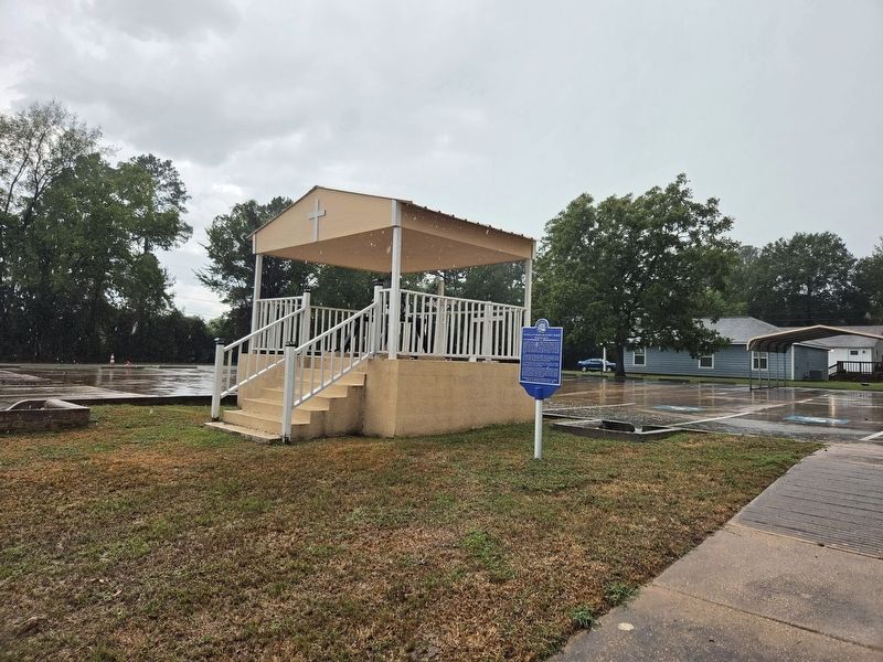
2. Mt Pleasant Missionary Baptist Church Marker and Church Bell
Other nearby markers. At least 8 other markers are within walking distance of this marker: J. Goldstein DuPree (approx. ¼ mile away); Montgomery Memorial Cemetery (approx. ¼ mile away); a different marker also named Montgomery Memorial Cemetery (approx. ¼ mile away); Montgomery County, C.S.A. (approx. 0.7 miles away); Montgomery County Jail (approx. 0.7 miles away); Town of Montgomery (approx. 0.7 miles away); Chilton-Dean House (approx. 0.7 miles away); Methodist Parsonage (approx. 0.7 miles away). Touch for a list and map of all markers in Montgomery.
Photographed by James Hulse, September 5, 2026
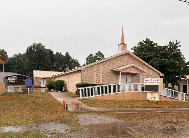
3. Mt Pleasant Missionary Baptist Church and Marker (Left Side)
Photographed by James Hulse, September 5, 2026
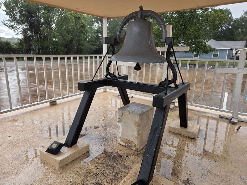
4. Mt Pleasant Missionary Baptist Church Bell
Credits. This page was last revised on September 5, 2026. It was originally submitted on September 5, 2026, by James Hulse of Medina, Texas. This page has been viewed 10 times since then. Photos: 1, 2, 3, 4. submitted on September 5, 2026, by James Hulse of Medina, Texas.
