Binnenstad in Delft, South Holland, Netherlands — Northwestern Europe
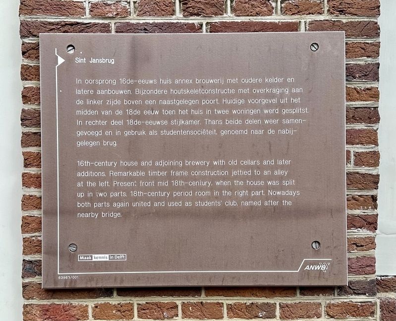
Sint Jansbrug
Photographed by Andrew Ruppenstein, September 3, 2026
1. Sint Jansbrug Marker

Erected by the ANWB, Maak kennis in Delft. (Marker Number 63963.)
Topics. This historical marker is listed in these topic lists: Architecture • Industry & Commerce.
Location. 52° 0.567′ N, 4° 21.477′ E. Marker is in Delft, Zuid-Holland (South Holland). It is in Binnenstad.
this page online

Regionally, it is in Europe, the European Union, Atlantic Europe, the Benelux Low Countries, the Schengen Area, Western Europe, and the Western World. Historically, it finds itself in what was once the Roman Empire and specifically also the Holy Roman Empire.
Other nearby markers. At least 8 other markers are within walking distance of this marker: Museum Paul Tétar van Elven (within shouting distance of this marker); Vrije Akademie (about 120 meters away, measured in a direct line); Delft Synagogue (about 150 meters away); Huis “Het Tonnetgen” (about 180 meters away); Oudste ziekenhuis van Nederland / Oldest Hospital in the Netherlands (about 180 meters away); Meisjeshuis / Orphanage for Girls (about 210 meters away); Deze gevelsteen / This Gable Stone (about 210 meters away); Heilige Geestkapel / Holy Ghost Chapel (about 210 meters away). Touch for a list and map of all markers in Delft.
Photographed by Andrew Ruppenstein, September 3, 2026
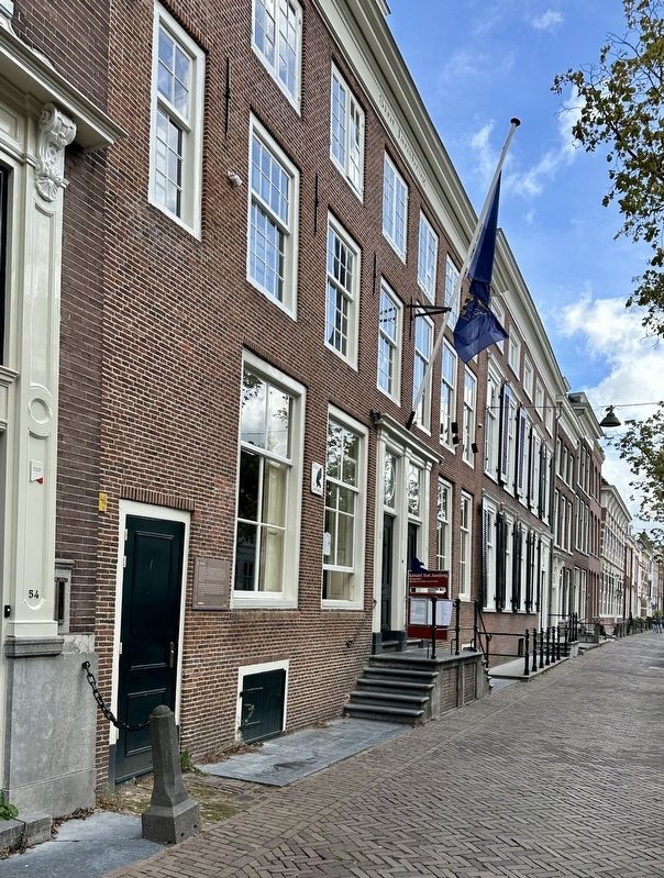
2. Sint Jansbrug Marker - wide view, looking south along Oude Delft
Photographed by Andrew Ruppenstein, September 3, 2026
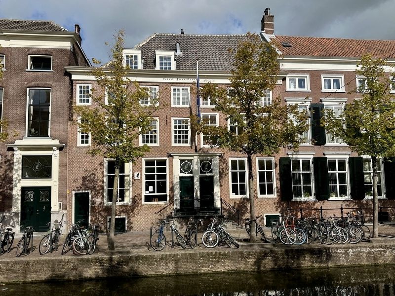
3. Sint Jansbrug Marker - as seen from across the canal
Credits. This page was last revised on September 6, 2026. It was originally submitted on September 6, 2026, by Andrew Ruppenstein of Lamorinda, California. This page has been viewed 5 times since then. Photos: 1, 2, 3. submitted on September 6, 2026, by Andrew Ruppenstein of Lamorinda, California.
