Bluff Dale in Erath County, Texas — The American South (West South Central)
Old Public Water Well
Photographed by Jeff Leichsenring, September 6, 2026
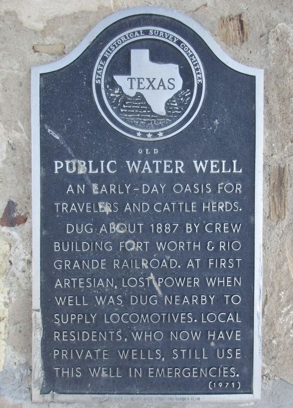
1. Old Public Water Well Marker
An early day oasis for travelers and cattle herds. Dug about 1887 by crew building Fort Worth and Rio Grande Railroad. At first artesian, lost power when well was dug nearby to supply locomotives. Local residents, who now have private wells, still use this well in emergencies.
(Incise)
Restored 1965 by Bluff Dale Study and Garden Club
Erected 1971 by State Historical Survey Committee. (Marker Number 3786.)
Topics. This historical marker is listed in this topic list: Settlements & Settlers. A significant historical year for this entry is 1887.
Location. 32° 21.11′ N, 98° 1.243′ W. Marker is in Bluff Dale, Texas, in Erath County. It is on Greenwood Street 0.1 miles north of U.S. 377, in the median. Touch for map. Marker is at or near this postal address: 208 Greenwood St, Bluff Dale TX 76433, United States of America. Touch for directions.

Regionally, this marker is in the Prairies & Lakes Region. Globally, it is in North America, a Gulf of Mexico state, the Western Hemisphere, the Western World, and the Anglosphere. Historically, it finds itself in what was once New Spain, the Comanchería, the Republic
this page online
Other nearby markers. At least 8 other markers are within 2 miles of this marker, measured as the crow flies: J. F. Warnock Hardware (about 300 feet away, measured in a direct line); Bluff Dale United Methodist Church (approx. 0.2 miles away); Holt House (approx. 0.3 miles away); The Bluff Dale Suspension Bridge (approx. 0.3 miles away); Bluff Dale (approx. 0.4 miles away); The Denny Cemetery (approx. 0.6 miles away); Glenn Cemetery (approx. 1.7 miles away); Wesley Chapel Cemetery (approx. 2 miles away). Touch for a list and map of all markers in Bluff Dale.
Photographed by Jeff Leichsenring, September 6, 2026
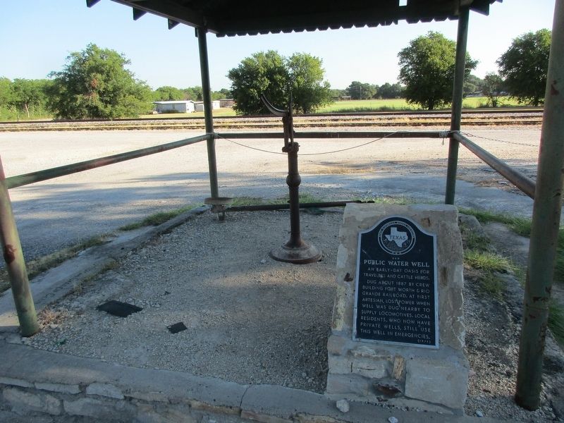
2. Old Public Water Well and marker
Photographed by Jeff Leichsenring, September 6, 2026
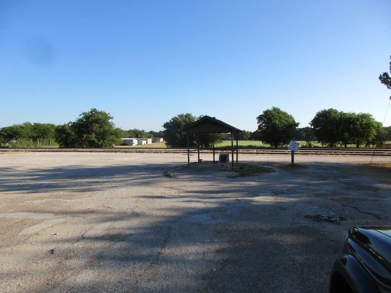
3. Old Public Water Well Marker
Credits. This page was last revised on September 7, 2026. It was originally submitted on September 6, 2026, by Jeff Leichsenring of Garland, Texas. This page has been viewed 6 times since then. Photos: 1, 2, 3. submitted on September 6, 2026, by Jeff Leichsenring of Garland, Texas. • James Hulse was the editor who published this page.
