Bluff Dale in Erath County, Texas — The American South (West South Central)
Bluff Dale United Methodist Church
Photographed by Jeff Leichsenring, September 6, 2026
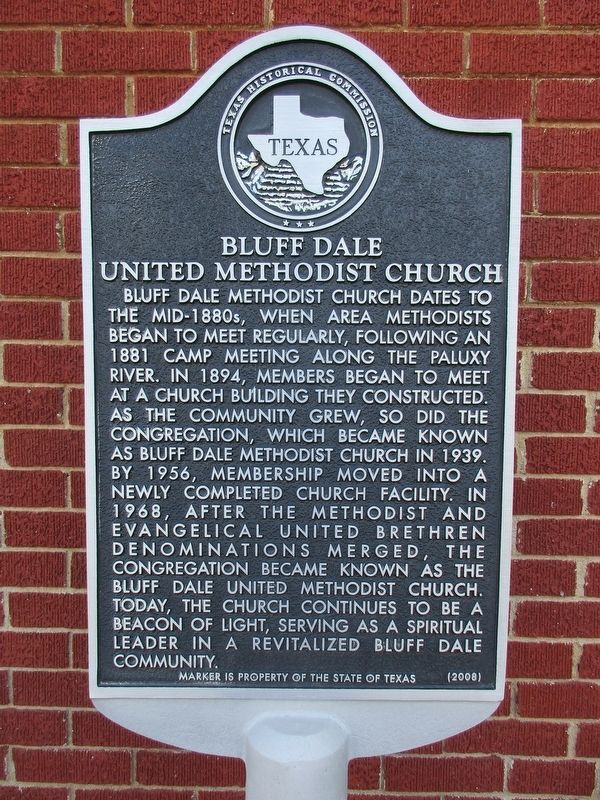
1. Bluff Dale United Methodist Church Marker
Bluff Dale Methodist Church dates to the mid-1880s, when area Methodists began to meet regularly, following an 1881 camp meeting along the Paluxy River. In 1894, members began to meet at a church building they constructed. As the community grew, so did the congregation, which became known as Bluff Dale Methodist Church in 1939. By 1956, membership moved into a newly completed church facility. In 1968, after the Methodist and Evangelical United Brethren denominations merged, the congregation became known as the Bluff Dale United Methodist Church. Today, the church continues to be a beacon of light, serving as a spiritual leader in a revitalized Bluff Dale community.
Erected 2008 by Texas Historical Commission. (Marker Number 15361.)
Topics. This historical marker is listed in this topic list: Religion & Religious Structures. A significant historical year for this entry is 1881.
Location. 32° 21.011′ N, 98° 1.347′ W. Marker is in Bluff Dale, Texas, in Erath County. It is at the intersection of Church Street and Holt Street (Farm to Market Road 2481), on the right when traveling west on Church Street. Touch for map. Marker
this page online

Regionally, this marker is in the Prairies & Lakes Region. Globally, it is in North America, a Gulf of Mexico state, the Western Hemisphere, the Western World, and the Anglosphere. Historically, it finds itself in what was once New Spain, the Comanchería, the Republic of Texas, and one of the Confederate States of America.
Other nearby markers. At least 8 other markers are within 2 miles of this marker, measured as the crow flies: J. F. Warnock Hardware (about 500 feet away, measured in a direct line); Old Public Water Well (approx. 0.2 miles away); Holt House (approx. 0.2 miles away); The Bluff Dale Suspension Bridge (approx. 0.3 miles away); Bluff Dale (approx. 0.3 miles away); The Denny Cemetery (approx. ¾ mile away); Glenn Cemetery (approx. 1.8 miles away); Wesley Chapel Cemetery (approx. 1.9 miles away). Touch for a list and map of all markers in Bluff Dale.
Photographed by Jeff Leichsenring, September 6, 2026
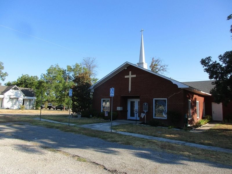
2. Bluff Dale United Methodist Church and marker
Photographed by Jeff Leichsenring, September 6, 2026
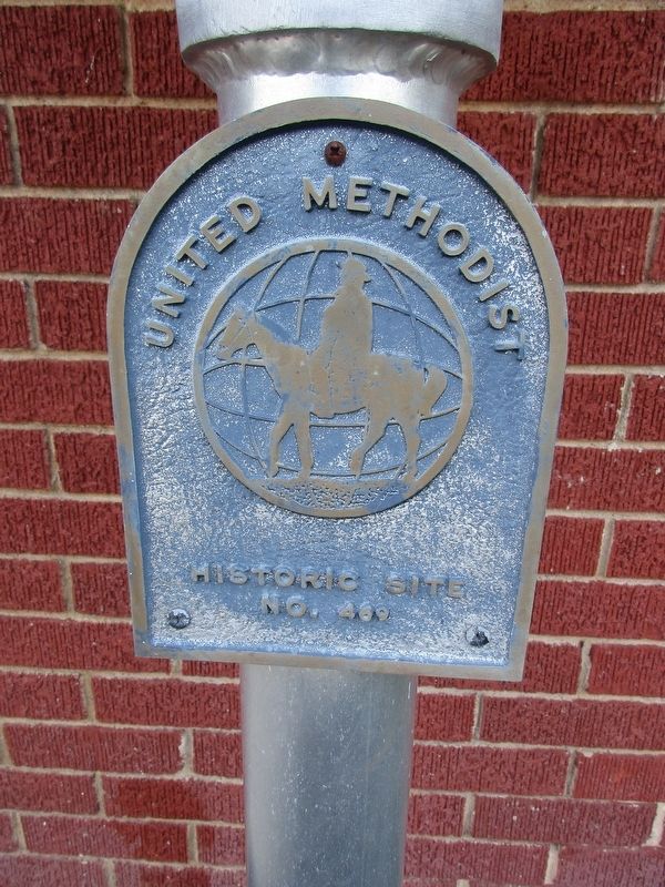
3. United Methodist Historic Site plaque
Number 469
Credits. This page was last revised on September 7, 2026. It was originally submitted on September 6, 2026, by Jeff Leichsenring of Garland, Texas. This page has been viewed 6 times since then. Photos: 1, 2, 3. submitted on September 6, 2026, by Jeff Leichsenring of Garland, Texas. • James Hulse was the editor who published this page.
