
Near Kenbridge in Lunenburg County, Virginia — The American South (Mid-Atlantic)
Lunenburg County
⎯⎯⎯
Nottoway County
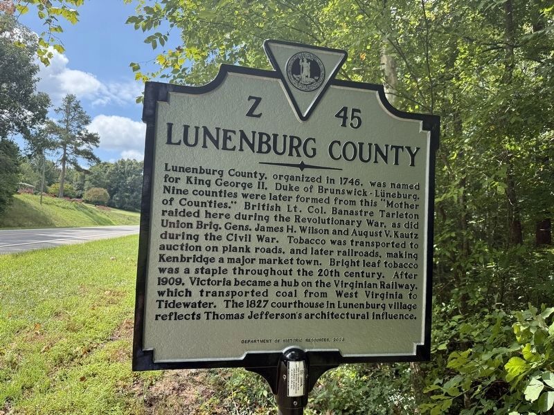
Lunenburg County. Lunenburg County, organized in 1746, was named for King George II, Duke of Brunswick-Lüneburg. Nine counties were later formed from this "Mother of Counties." British Lt. Col. Banastre Tarleton raided here during the Revolutionary War, as did Union Brig. Gen's Jame H. Wilson and August V. Kautz during the Civil War. Tobacco was transported to auction on plank roads, and later railroads, making Kenbridge a major market town. Bright leaf tobacco was a staple throughout the 20th century. After 1909, Victoria became a hub on the Virginian Railway, which transported coal from West Virginia to Tidewater. The 1827 courthouse in Lunenburg village reflects Thomas Jefferson's architectural influence.
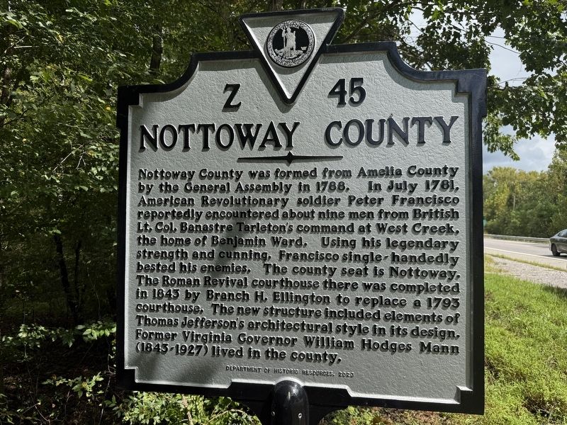
Nottoway County. Nottoway County was formed from Amelia County by the General Assembly in 1788. In July 1781, American Revolutionary soldier Peter Francisco reportedly encountered about nine men from British Lt. Col. Banastre Tarleton's command at West Creek, the home of Benjamin Ward. Using his legendary strength and cunning, Francisco single-handedly bested his enemies. The county seat is Nottoway. The Roman
this page online
Erected 2023 by Department of Historic Resources. (Marker Number Z-45.)
Topics and series. This historical marker is listed in these topic lists: Architecture • Political Subdivisions • Settlements & Settlers • War, US Revolutionary. In addition, it is included in the Virginia Department of Historic Resources (DHR) series list. A significant historical month for this entry is July 1781.
Location. 37° 0.653′ N, 78° 4.228′ W. Marker is near Kenbridge, Virginia, in Lunenburg County. It is on Blackstone Road (Virginia Route 40) north of Fletcher Chapel Road, on the right when traveling south. Touch for map. Marker is at or near this postal address: 4836 Blackstone Rd, Kenbridge VA 23944, United States of America. Touch for directions.

Regionally, this marker is in Virginia’s Piedmont, in Southside Virginia, and specifically in Central Virginia. It
Other nearby markers. At least 8 other markers are within 6 miles of this marker, measured as the crow flies: St. Luke's Episcopal Church (approx. 4.2 miles away); Kennedy's Store ca. 1908 (approx. 4½ miles away); Town of Kenbridge (approx. 4.7 miles away); Craig's Mill (approx. 4.7 miles away); Union Academy (approx. 4.7 miles away); St. John’s Church (approx. 4.8 miles away); Virginia Tech Fight Song (approx. 5.3 miles away); Blackstone Female Institute (approx. 5½ miles away). Touch for a list and map of all markers in Kenbridge.
Other markers no longer nearby. Lunenburg County / Nottoway County (has been replaced with this marker); a different marker also named Craig's Mill (was approx. 4.7 miles away but has been replaced with another marker now near
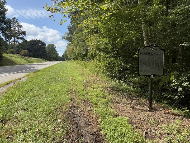
Photographed by Devry Becker Jones (CC0), September 6, 2026
3. Lunenburg County / Nottoway County Marker
Credits. This page was last revised on September 6, 2026. It was originally submitted on September 6, 2026, by Devry Becker Jones of Washington, District of Columbia. This page has been viewed 3 times since then. Photos: 1, 2, 3. submitted on September 6, 2026, by Devry Becker Jones of Washington, District of Columbia.
