
Northampton in West Northamptonshire, England, United Kingdom — Northwestern Europe (the British Isles)
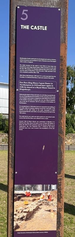
The Castle
Photographed by Ray Gurganus, May 25, 2026
1. The Castle Marker
The initial structure of the castle is most likely to have been lost beneath the much larger Royal Castle, which survived as a ruin until the late 19th century. It is therefore believed that much of the castle was the work of King Henry I from the early 1100s and that it was only completed sometime after 1130.
After Simon died between 1109 and 1111, on his way back from the Crusades, it is believed that Henry I took over control of the castle.
Fun Fact: King Henry I spent Easter in Northampton in 1114 and later again in 1122, he stayed at a Royal Manor based in Kingsthorpe.
Following the death of Simon De Senlis, his wife Maud married David, the son of King Malcolm III of Scotland. As the ownership of the castle was in English royal control, it stopped the castle falling into the hands of the Scottish monarchy as David, who was now King of Scotland, was in the line of succession with his connection to the Earldom of Northampton.
It is recorded
this page online
The castle had its own wells and mill to grind corn and natural water sources like the River Nene were utilised to form a moat.
Around 1140, St Peter's Church was constructed on Marefair. It is believed that either Simon De Senlis II (son of Simon De Senlis) or Simon De Senlis III (his grandson) built the Norman Church on an Anglo-Saxon site. Two fragments from a broken-up late Saxon decorated stone cross were re-used in the foundations of the new church.
Image: Excavation at Northampton Railway Station (courtesy of MOLA)
(Marker Number 5.)
Topics. This historical marker is listed in this topic list: Forts and Castles. A significant historical year for this entry is 1130.
Location. 52° 14.262′ N, 0° 54.234′ W. Marker is in Northampton, England, in West Northamptonshire. It is on Chalk Lane. The marker is by the Chalk Lane car park, just south of Northampton
Photographed by Ray Gurganus, May 25, 2026
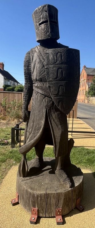
2. Statue at the site of Northampton Castle

Regionally, it is on the Atlantic Ocean, in the North Atlantic Region, in Europe, in Atlantic Europe, on one of the British Isles, in the Western World, and in the Anglosphere. Historically, it finds itself in what was once the Roman Empire.
Other nearby markers. At least 5 other markers are within 11 kilometers of this marker, measured as the crow flies: The Story of Simon de Senlis (here, next to this marker); Earl of Northampton (here, next to this marker); Anglo-Saxon Northampton (a few steps from this marker); Where Northampton Began (a few steps from this marker); Birth Of Radar Memorial (approx. 11 kilometers away).
Credits. This page was last revised on September 8, 2026. It was originally submitted on September 7, 2026, by Ray Gurganus of Washington, District of Columbia. This page has been viewed 5 times since then. Photos: 1, 2. submitted on September 7, 2026, by Ray Gurganus of Washington, District of Columbia. • Andrew Ruppenstein was the editor who published this page.
