
Altavista in Campbell County, Virginia — The American South (Mid-Atlantic)
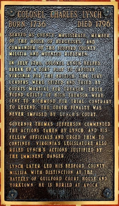
Colonel Charles Lynch
Born 1736 • Died 1796
Photographed by C. Ryan Dodson, September 5, 2026
1. Colonel Charles Lynch Marker
In July 1780, Colonel Lynch helped break up a Tory plot to capture Virginia for the British. The Tory leaders were seized and tried by courts martial for treason. Those found guilty of high treason were sent to Richmond for trial. Contrary to legend, the death penalty was never imposed by Lynch's court.
Governor Thomas Jefferson commended the actions taken by Lynch and his fellow officials and urged them to continue. Virginia's legislature also ruled Lynch's actions justified by the imminent danger.
Lynch later led his Bedford County militia with distinction at the battles of Guilford Court House and Yorktown. He is buried at Avoca.
Erected by Town of Altavista.
Topics. This historical marker is listed in these topic lists: Patriots & Patriotism • War, US Revolutionary. A significant historical year for this entry is 1780.
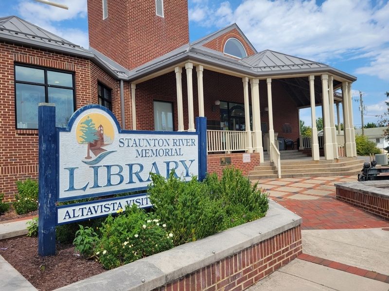
Location. 37° 6.595′ N, 79° 17.47′ W. Marker is in Altavista, Virginia, in Campbell County. It is at the intersection of Washington Street and Broad Street, on the right when traveling south on Washington Street. The Marker is located at Staunton River Memorial Library. Touch for map. Marker is at or near this postal address: 500 Washington Street, Altavista VA 24517, United States of America. Touch for directions.

Regionally, this marker is in the Piedmont and in Central Virginia. It is also in the American South and specifically in the Upper South. Globally, it is in North America, the Western Hemisphere, the Western World, and the Anglosphere. Historically, it finds itself in what was once the territory of the Mississippian Culture, one of the original Thirteen Colonies, one of the Confederate States of America, and the Antebellum
this page online
Other nearby markers. At least 8 other markers are within walking distance of this marker: Founders Square (a few steps from this marker); Founding the Town of Altavista (about 300 feet away, measured in a direct line); 1928 Bridge Between Hurt and Altavista (approx. 0.2 miles away); Route of Old "97" (approx. 0.2 miles away); Purple Heart Monument (approx. ¼ mile away); War Memorial Park (approx. ¼ mile away); Crossing the Staunton (approx. 0.3 miles away); War Memorial Building (approx. 0.3 miles away). Touch for a list and map of all markers in Altavista.
Photographed by C. Ryan Dodson, September 5, 2026
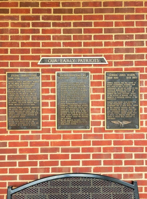
2. Colonel Charles Lynch Marker
Photographed by C. Ryan Dodson, September 5, 2026
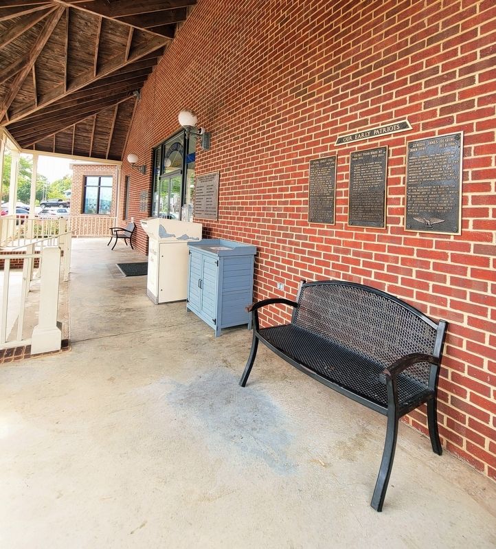
3. Colonel Charles Lynch Marker
Photographed by C. Ryan Dodson, September 5, 2026
4. Colonel Charles Lynch Marker
Photographed by C. Ryan Dodson, September 5, 2026
5. Colonel Charles Lynch Marker
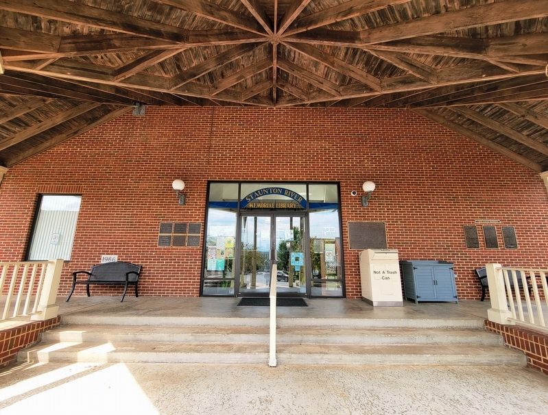
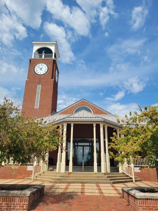
The Marker is located on the front porch of the Staunton River Memorial Library, as shown in this photo.
Photographed by C. Ryan Dodson, September 5, 2026
6. Staunton River Memorial Library
Credits. This page was last revised on September 13, 2026. It was originally submitted on September 7, 2026, by C. Ryan Dodson of Danville, Virginia. This page has been viewed 8 times since then. Photos: 1, 2, 3, 4, 5, 6. submitted on September 7, 2026, by C. Ryan Dodson of Danville, Virginia. • Andrew Ruppenstein was the editor who published this page.
