Allen in Collin County, Texas — The American South (West South Central)
The Pavilion
Photographed by James Hulse, September 4, 2026
1. The Pavilion Marker
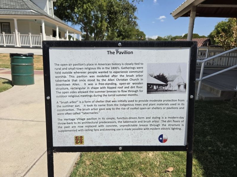
The open-air pavilion’s place in American history is closely tied to rural and small-town religious life in the 1800’s. Gatherings were held outside wherever people wanted to experience communal worship. This pavilion was modelled after the brush arbor tabernacle that once stood by the Allen Christian Church in downtown Allen. It was a free-standing, open-air wooden structure, rectangular in shape with hipped roof and dirt floor. The open sides allowed the summer breezes to flow through for outdoor religious meetings during the torrid summer months.
A “brush arbor” is a form of shelter that was initially used to provide moderate protection from the summer sun. It took its name from the indigenous trees and plant materials used in its construction. The brush arbor gave way to the rise of roofed open-air shelters or pavilions and were often called “tabernacles.”
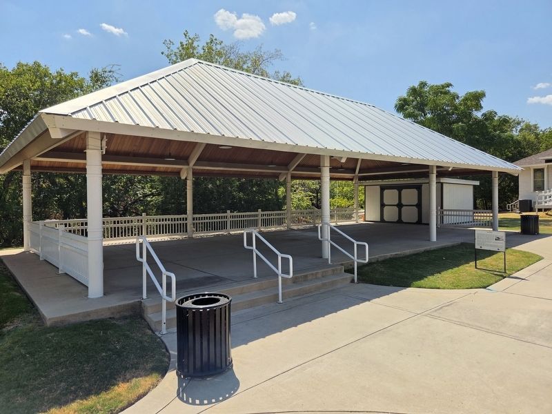
The Heritage Village pavilion in its simple, function-driven form and styling is a modern-day throw-back to its architectural predecessors, the tabernacle and brush arbor. The dirt floors of the past are now replaced with concrete, unpredictable breeze through
this page online
Erected by Collin County Historical Commission and Allen Heritage Guild.
Topics. This historical marker is listed in this topic list: Notable Buildings.
Location. 33° 6.316′ N, 96° 39.885′ W. Marker is in Allen, Texas, in Collin County. It is on Saint Mary Drive east of N Cedar Drive, on the right when traveling east. Touch for map. Marker is at or near this postal address: 450 St Mary Dr, Allen TX 75002, United States of America. Touch for directions.

Regionally, this marker is in the Prairies & Lakes Region and in the Dallas-Fort Worth Metropolitan Area. Globally, it is in North America, a Gulf of Mexico state, the Western Hemisphere, the Western World, and the Anglosphere. Historically, it finds itself in what was once New Spain, the Republic of Texas, one of the Confederate States of America, and the Antebellum South.
Other nearby markers. At least 8 other markers are within walking distance of this marker: Lane - Carroll House (a few steps from this
Photographed by James Hulse, September 4, 2026
2. The Pavilion and Marker
Credits. This page was last revised on September 7, 2026. It was originally submitted on September 7, 2026, by James Hulse of Medina, Texas. This page has been viewed 12 times since then. Photos: 1, 2. submitted on September 7, 2026, by James Hulse of Medina, Texas.
