
Trussville in Jefferson County, Alabama — The American South (East South Central)
Trussville
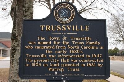
Photographed by Tim Carr, January 4, 2010
1. Trussville Marker
Erected 1977 by Alabama Historical Commission / Delia Truss Robert Estate.
Topics and series. This historical marker is listed in this topic list: Settlements & Settlers. In addition, it is included in the Alabama Historical Commission series list. A significant historical year for this entry is 1947.
Location. Marker has been reported missing. It was located near 33° 37.266′ N, 86° 36.204′ W. Marker was in Trussville, Alabama, in Jefferson County. It was on Main Street (U. S. Highway 11), on the right when traveling east. Touch for map. Marker was at or near this postal address: 131 Main Street, Trussville AL 35173, United States of America. Touch for directions.

Regionally, this marker was in the Birmingham Metropolitan Area. It was also in the American South and specifically in the Deep South. Globally, it was in North America, a Gulf of Mexico state, the Western Hemisphere,
this page online
Other nearby markers. At least 8 other markers are within walking distance of this location: First Baptist Church of Trussville (a few steps from this marker); Trussville Memorial Cemetery (a few steps from this marker); Cahaba Project (about 600 feet away, measured in a direct line); Civitan Park Bridge (approx. ¼ mile away); Confederate Storehouse Burned By Federal Troops (approx. 0.3 miles away); Trussville, Alabama (approx. 0.4 miles away); Heritage Hall 1988 (approx. half a mile away); The Coop Store - Heritage Hall (approx. half a mile away). Touch for a list and map of all markers in Trussville.
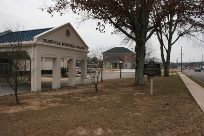
Photographed by Tim Carr, January 4, 2010
2. Trussville City Hall & Marker
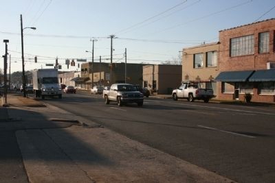
Photographed by Tim Carr, December 21, 2009
3. Main Street Trussville, Alabama
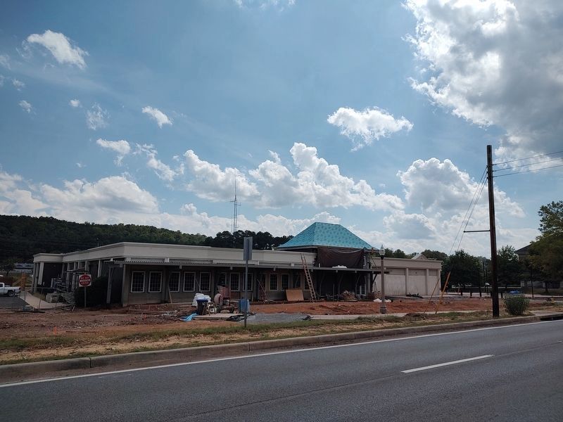
Photographed by Jimmy Emerson, September 7, 2026
4. Trussville Marker
Marker had been in front of the city hall, before all the construction.
Credits. This page was last revised on September 7, 2026. It was originally submitted on January 5, 2010, by Timothy Carr of Birmingham, Alabama. This page has been viewed 1,779 times since then and 58 times this year. Last updated on September 7, 2026, by Jimmy Emerson of Dalton, Georgia. Photos: 1, 2, 3. submitted on January 5, 2010, by Timothy Carr of Birmingham, Alabama. 4. submitted on September 7, 2026, by Jimmy Emerson of Dalton, Georgia. • James Hulse was the editor who published this page.
