Cherry in Bureau County, Illinois — The American Midwest (Great Lakes)
Cherry Miner's Memorial
⎯⎯⎯
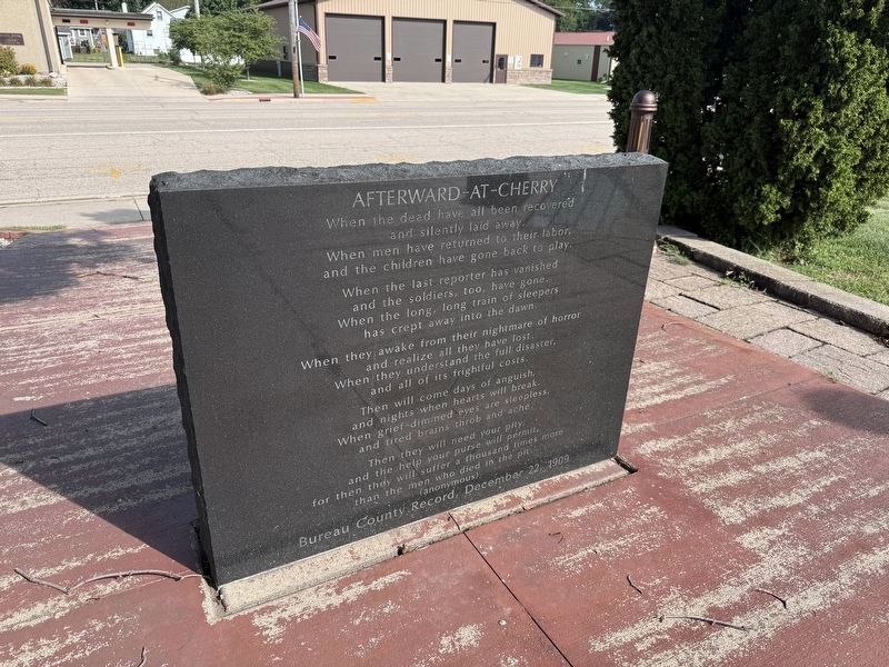
Afterward-at-Cherry
Photographed by Matthew Stevens, September 6, 2026
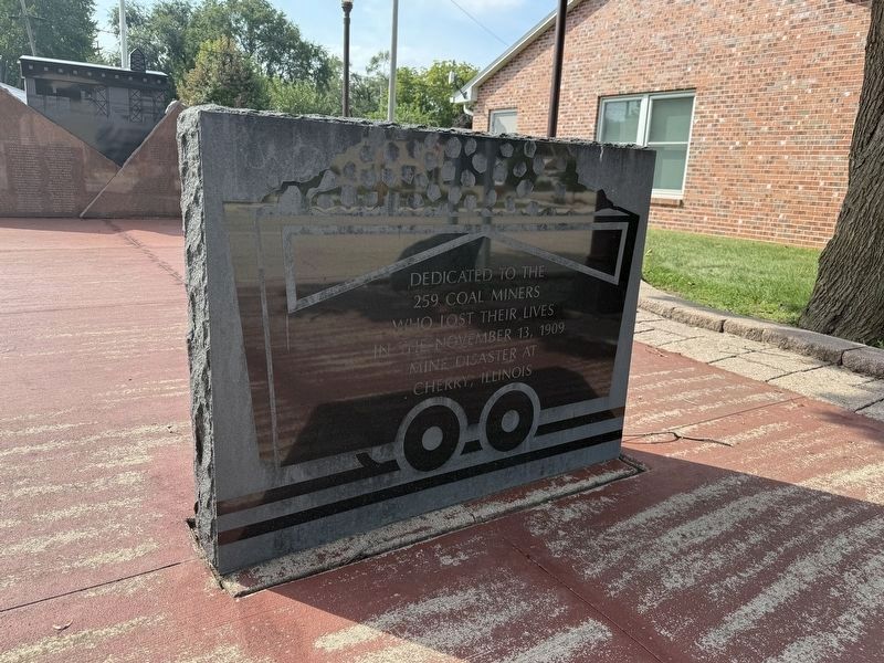
1. Cherry Miner's Memorial Front
Dedicated to the 259 coal miners who lost their lives in the November 13, 1909 mine disaster at Cherry, Illinois
When the dead have all been recovered and silently laid away.
When men have returned to their labor, and the children have gone back to play.
When the last reporter has vanished and the soldiers, too, have gone.
When the long, long train of sleepers has crept away into the dawn.
When they awake from their nightmare of horror and realize all they have lost.
When they understand the full disaster, and all of its frightful costs.
Then will come days of anguish and nights when hearts will break.
When grief-dimmed eyes are sleepless, and tired brains throb and ache.
Then they will need your pits and the help your purse will permit, for then they will suffer a thousand times more than the men who died in the pit.
(anonymous)
Bureau County Record, December 22, 1909
Erected 2009.
Topics. This historical marker is listed in these topic lists: Disasters • Industry & Commerce. A significant historical date for this entry is November 13, 1909.
Location. 41° 25.596′ N, 89° 12.795′ W. Marker is in Cherry, Illinois,
this page online

Regionally, this marker is in Northern Illinois and specifically in the Illinois River Valley. It is also in the American Midwest and in the Corn Belt. Globally, it is in North America, the Western Hemisphere, the Western World, and the Anglosphere. Historically, it finds itself in what was once the territory of the Mississippian Culture and also the Northwest Territory.
Other nearby markers. At least 8 other markers are within 7 miles of this marker, measured as the crow flies: We of Cherry Honor Our Service Personnel (approx. 0.2 miles away); Cherry Mine Disaster (approx. 0.2 miles away); U.M.W. Cherry Mine Disaster Memorial (approx. 0.4 miles away); Isam W. Seaton (1823-1903) and James H. Seaton (1828-1913) (approx.
Photographed by Matthew Stevens, September 6, 2026
2. Afterward-at-Cherry on Backside
Also see . . . Mythic Mississippi Project - Cherry Memorials. See this article from the University of Illinois Mythic Mississippi Project that discusses this memorial as well as several other historical markers in the area.
Excerpt: "For the second anniversary of the disaster the United Mine Workers of America commissioned and inaugurated a magnificent memorial in the town’s cemetery. The cemetery is actually two adjacent cemeteries: the Holy Trinity Miners’ Memorial Cemetery (Catholic) and the Protestant Miners’ Memorial Cemetery. The UMWA’s Cherry Mine memorial sits between the two sectarian spaces and was erected south of the mine’s two slag piles (which are still visible on the landscape)."(Submitted on September 8, 2026, by Matthew Stevens of Washington, Illinois.)
Photographed by Matthew Stevens, September 6, 2026
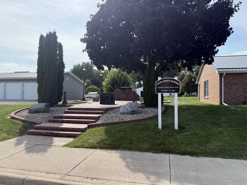
3. Cherry Miner's Memorial Area
Photographed by Matthew Stevens, September 6, 2026
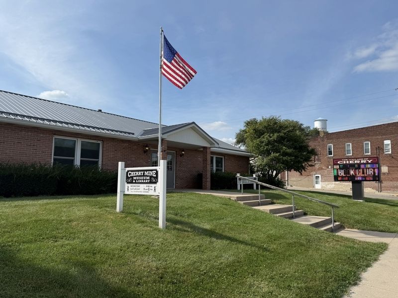
4. Nearby Cherry Mine Museum & Library
Credits. This page was last revised on September 23, 2026. It was originally submitted on September 7, 2026, by Matthew Stevens of Washington, Illinois. This page has been viewed 14 times since then. Photos: 1, 2, 3, 4. submitted on September 7, 2026, by Matthew Stevens of Washington, Illinois. • Devry Becker Jones was the editor who published this page.
