Enkhuizen, North Holland, Netherlands — Northwestern Europe
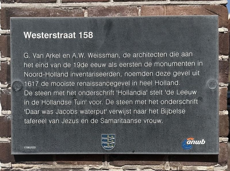
Westerstraat 158
Photographed by Andrew Ruppenstein, September 7, 2026
1. Westerstraat 158 Marker

Erected by Gemeente Enkhuizen, ANWB. (Marker Number 17062/023.)
Topics. This historical marker is listed in this topic list: Architecture. A significant historical year for this entry is 1617.
Location. 52° 42.176′ N, 5° 17.096′ E. Marker is in Enkhuizen, Noord-Holland
this page online

Regionally, it is in Europe, the European Union, Atlantic Europe, the Benelux Low Countries, the Schengen Area, Western Europe, and the Western World. Historically, it finds itself in what was once the Holy Roman Empire.
Other nearby markers. At least 8 other markers are within walking distance of this marker: Soephuisje / Soup House (within shouting distance of this marker); De Munt / The Mint (about 120 meters away, measured in a direct line); Vermaning (Doopsgezinde kerk) / Vermaning (Mennonite Church) (approx. 0.4 kilometers away); Genaamt: Het Huis van Gemak (approx. 0.4 kilometers away); St. Pancras- of Zuidertoren / St. Pancras- or Southern Tower (approx. half a kilometer away); Westerpoort of Koepoort / Western Gate or Cow Gate (approx. 0.6 kilometers away); Enkhuizen Harbor Bombardment Memorial (approx. 0.6 kilometers away); Synagoge / Synagogue
Photographed by Andrew Ruppenstein, September 7, 2026
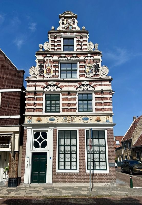
2. Westerstraat 158 and marker
The marker is visible here on the corner of the building.
Photographed by Andrew Ruppenstein, September 7, 2026
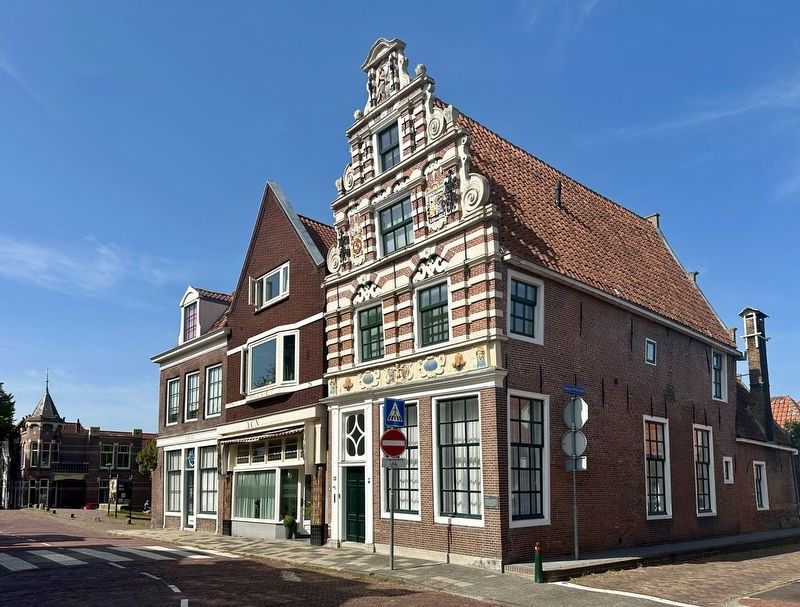
3. Westerstraat 158
Photographed by Andrew Ruppenstein, September 7, 2026
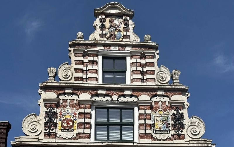
4. Westerstraat 158 - facade in gable area
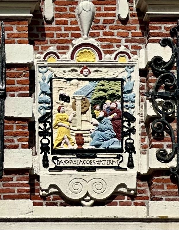
Photographed by Andrew Ruppenstein, September 7, 2026
5. Jacob’s well panel (mentioned on the marker)
Credits. This page was last revised on September 8, 2026. It was originally submitted on September 8, 2026, by Andrew Ruppenstein of Lamorinda, California. This page has been viewed 2 times since then. Photos: 1, 2, 3, 4, 5. submitted on September 8, 2026, by Andrew Ruppenstein of Lamorinda, California.
