
Berliner Innenstadt in Friedrichshain-Kreuzberg, Germany — Northeast German Plain (The European Plain)
Wilhelmstraße 102
| — | Geschichtsmeile Wilhelmstraße | — |
Photographed by James Hulse, March 6, 2026
1. Wilhelmstraße 102 Marker

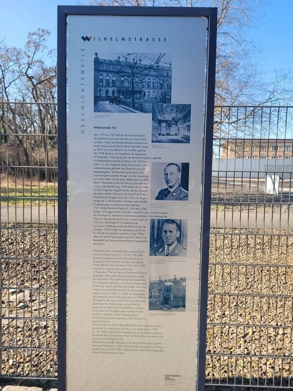
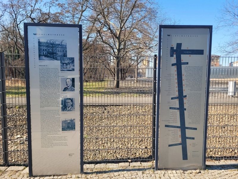
Im November 1934 bezog der von Reinhard Heydrich geleitete »Sicherheitsdienst des Reichsführers SS« (SD) das Palais. Zu den Aufgaben dieses Nachrichten- und Geheimdienstes gehörten die Überwachung von Regimegegnern, die Beurteilung der politischen Zuverlässigkeit einzelner Bürger und die Sammlung von Nachrichten. Durch seine »Meldungen aus dem Reich« informierte er die NS-Führung über die Stimmung in der Bevölkerung. 1939 lieferte der SD Hitler mit dem fingierten Angriff auf den Sender Gleiwitz den gewünschten Vorwand zum Angriff auf Polen. Während des Krieges waren SD-Führer als Angehörige der in den besetzten Gebieten operierenden Einsatzgruppen an Massenmorden beteiligt.
1941 richtete Reinhard Heydrich, Chef des im September 1939 gegründeten zentralen Unterdrückungs- und Terrororgans des NS-Regimes, des Reichssicherheitshauptamtes, in der Beletage des Palais ein repräsentatives Büro ein. Dieses nutzte ab 1943 sein Nachfolger Ernst Kaltenbrunner.
Im Zweiten Weltkrieg wurde das Palais schwer beschädigt. 1949 erfolgte die Sprengung der Ruine. Ein Teil des Grundstücks wurde bis in die 1980er Jahre als Verkehrsübungsplatz genutzt. Heute ist es Bestandteil des Dokumentationszentrums Topographie des Terrors.
(Bildunterschriften:)
Das Prinz-Albrecht-Palais, um 1928, Ullstein Bild, Berlin
Der Tanzsaal, um 1921, Bildarchiv Preußischer Kulturbesitz, Berlin
Reinhard Heydrich (1904-1942), 1933-1942 Chef des SD, 1939-1942 Chef des RSHA, 1942 Opfer eines Attentats, Bayerische Staatsbibliothek München
Dr. Ernst Kaltenbrunner (1903-1946), 1943-1945 Chef des RSHA, 1946 zum Tode verurteilt und hingerichtet, Bayerische Staatsbibliothek München
Gartenansicht des zerstörten Prinz-Albrecht-Palais, um 1948, Landesarchiv Berlin
this page online
In November 1934 the “Security Service of the Reich SS Leader” (SD) under Reinhard Heydrich moved into the palace. This secret service was responsible for intelligence gathering, surveillance of opponents of the Nazi regime and checking whether individual citizens were politically reliable. The SD produced “Reports from the Reich” to inform the Nazi leadership about the mood of the population. In 1939 the SD staged a fake seizure of the German radio station Gleiwitz on the Polish border, giving Hitler the pretext he wanted to launch the attack on Poland. During the war SD leaders were involved in mass murder as members of the “Einsatzgruppen” (mobile killing squads) operating in the German-occupied territories.
The Reich Security Main Office (RSHA), the Nazi regime’s central organization for suppression and terror, was established in 1939. In 1941 RSHA chief Reinhard Heydrich set up an imposing office on the second floor of the palace. From 1943 the office was used by his successor, Ernst Kaltenbrunner.
The palace was badly damaged in the Second World War and the ruins were blown up in 1949. Part of the site was used as a driving practice area until the 1980s. Today the site is part of the Topography of Terror Documentation Center.
(Captions:)
The Prince Albrecht Palace, ca. 1928, Ullstein Bild, Berlin
The ballroom, ca. 1921, Bildarchiv Preußischer Kulturbesitz, Berlin
Reinhard Heydrich (1904-1942), chief of the SD 1933-1942, chief of the RSHA 1939-1942, assassinated 1942, Bayerische Staatsbibliothek München
Dr. Ernst Kaltenbrunner (1903-1946), chief of the RSHA 1943-1945, sentenced to death and executed in 1946, Bayerische Staatsbibliothek München
The gardens of the ruined Prince Albrecht Palace, ca. 1948, Landesarchiv Berlin
Erected by Topographie
Photographed by James Hulse, March 6, 2026
2. Wilhelmstraße 102 Marker
Topics. This historical marker is listed in this topic list: War, World II. A significant historical month for this entry is September 1939.
Location. 52° 30.393′ N, 13° 23.149′ E. Marker is in Berlin, in Friedrichshain-Kreuzberg. It is in Berliner Innenstadt. It is at the intersection of Wilhelmstraße and Kochstraße, on the left when traveling north on Wilhelmstraße. Touch for map. Marker is at or near this postal address: Wilhelmstraße 102, Berlin 10963, Germany. Touch for directions.

Regionally, it is in Europe, the European Union, Atlantic Europe, Central Europe, the Schengen Area, Western Europe, and the Western World. Historically, it finds itself in what was once the Holy Roman Empire.
Other nearby markers. At least 8 other markers are within walking distance of this marker: History of Berlin’s Government Quarter (here, next to this marker); Prinz-Albrecht-Gelände (within shouting distance of this marker); Berliner Mauer / Berlin Wall (within shouting distance of this marker); Baudenkmal Berliner Mauer (about 90 meters away, measured in a direct line); Topography of Terror (about 150 meters away); Remains of the Berlin Wall (about 210 meters away); Baudenkmal Berliner Mauer / Berlin Wall Monument (about 210 meters away); Checkpoint Charlie Site (approx. 0.3 kilometers away). Touch for a list and map of all markers in Berlin.
Photographed by James Hulse, March 6, 2026
3. Wilhelmstraße 102 Marker
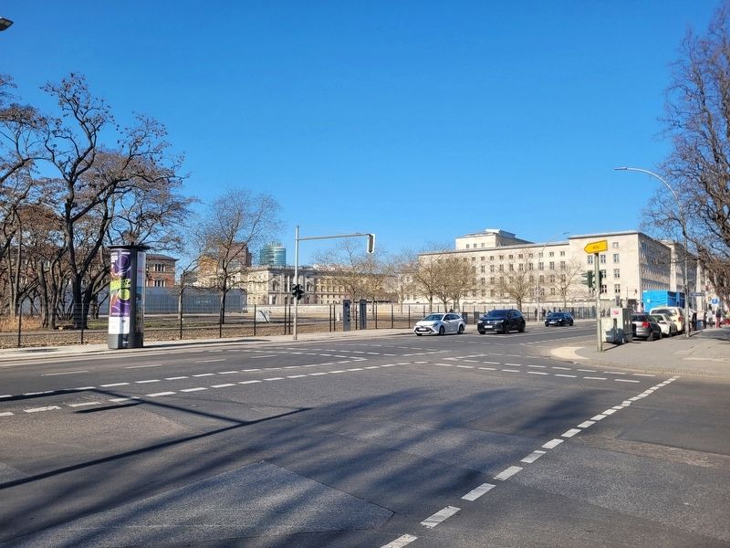
The view of the markers across the street.
Credits. This page was last revised on September 8, 2026. It was originally submitted on September 8, 2026, by James Hulse of Medina, Texas. This page has been viewed 9 times since then. Photos: 1, 2, 3. submitted on September 8, 2026, by James Hulse of Medina, Texas.
