
Berliner Innenstadt in Friedrichshain-Kreuzberg, Germany — Northeast German Plain (The European Plain)
Europahaus-Komplex
Geländerundgang
⎯⎯⎯
Europahaus Complex
Site Tour
| — | Saarlandstraße 90–102 (1933–1945) | — |
Photographed by James Hulse, March 6, 2026
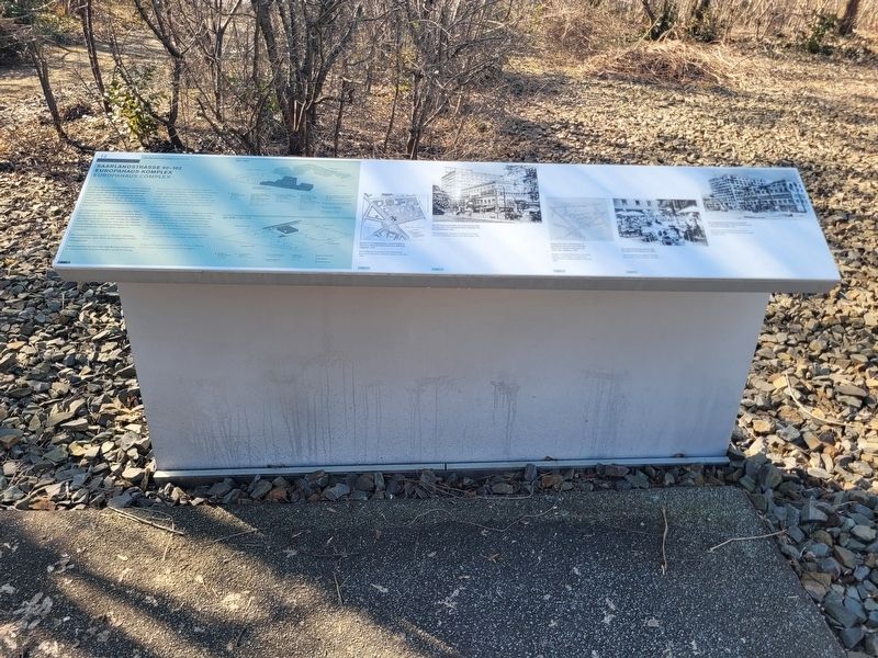
1. Europahaus-Komplex / Europahaus Complex Marker

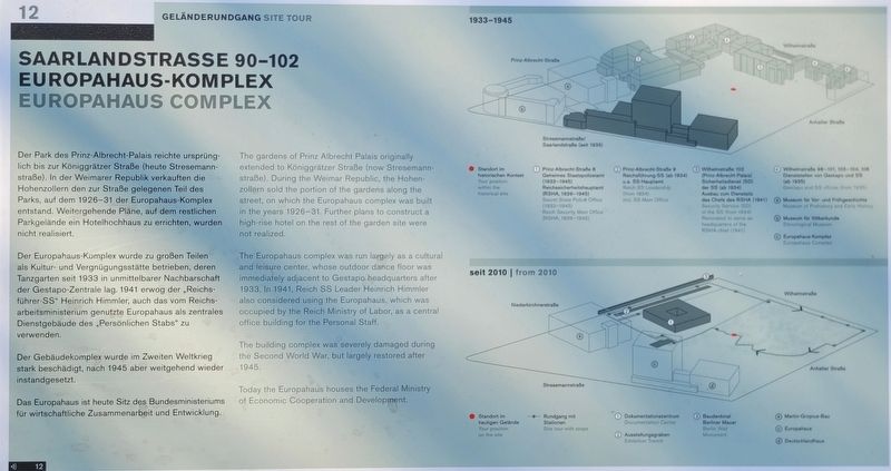
Der Europahaus-Komplex wurde zu großen Teilen als Kultur- und Vergnügungsstätte betrieben, deren Tanzgarten seit 1933 in unmittelbarer Nachbarschaft der Gestapo-Zentrale lag. 1941 erwog der „Reichsführer-SS“ Heinrich Himmler, auch das vom Reichsarbeitsministerium genutzte Europahaus als zentrales Dienstgebäude des „Persönlichen Stabs“ zu verwenden.
Der Gebäudekomplex wurde im Zweiten Weltkrieg stark beschädigt, nach 1945 aber weitgehend wieder instandgesetzt.
Das Europahaus ist heute Sitz des Bundesministeriums für wirtschaftliche Zusammenarbeit und Entwicklung.
(Bildunterschriften)
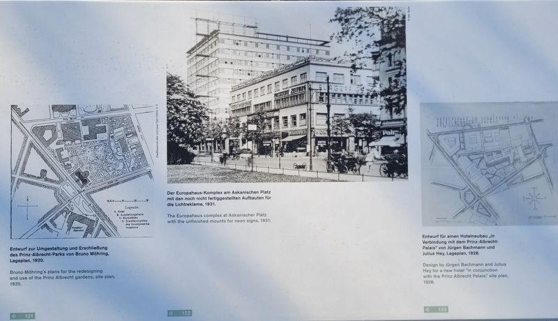
Entwurf zur Umgestaltung und Erschließung des Prinz-Albrecht-Parks von Bruno Möhring, Lageplan, 1920.
Der Europahaus-Komplex am Askanischen Platz mit den noch nicht fertiggestellten Aufbauten für die Lichtreklame, 1931.
Entwurf für einen Hotelneubau „in Verbindung mit dem Prinz-Albrecht-Palais“ von Jürgen Bachmann und Julius Hey, Lageplan, 1928.
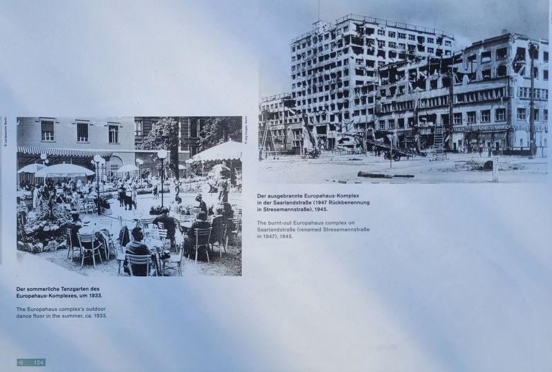
Der sommerliche Tanzgarten des Europahaus-Komplexes, um 1933.
Der ausgebrannte Europahaus-Komplex in der Saarlandstraße (1947 Rückbenennung in Stresemannstraße), 1945.
this page online
The Europahaus complex was run largely as a cultural and leisure center, whose outdoor dance floor was immediately adjacent to the Gestapo headquarters after 1933. In 1941, Reich SS Leader Heinrich Himmler also considered using the Europahaus, which was occupied by the Reich Ministry of Labor, as a central office building for the Personal Staff.
The building complex was severely damaged during the Second World War, but largely restored after 1945.
Today the Europahaus houses the Federal Ministry of Economic Cooperation and Development.
(Captions)
Bruno Möhring’s plans for the redesigning and use of the Prinz Albrecht gardens, site plan, 1920.
The Europahaus complex at Askanischer Platz with the unfinished mounts for neon signs, 1931.
Design by Jürgen Bachmann and Julius Hey for a new hotel “in conjunction with the Prinz Albrecht Palais,” site plan, 1928.
The Europahaus complex’s outdoor dance floor in the summer, ca. 1933.
The burnt-out Europahaus complex on Saarlandstraße (renamed Stresemannstraße in 1947), 1945.
Erected by Topography
Photographed by James Hulse, March 6, 2026
2. Europahaus-Komplex / Europahaus Complex Marker
Topics. This historical marker is listed in this topic list: War, World II. A significant historical year for this entry is 1933.
Location. 52° 30.363′ N, 13° 23.05′ E. Marker is in Berlin, in Friedrichshain-Kreuzberg. It is in Berliner Innenstadt. It is on Niederkirchnerstraße just west of Wilhelmstraße. The marker is located on the grounds of the Topography of Terror Documentation Center (free history museum). Touch for map. Marker is at or near this postal address: Niederkirchnerstraße 8, Berlin 10963, Germany. Touch for directions.

Regionally, it is in Europe, the European Union, Atlantic Europe, Central Europe, the Schengen Area, Western Europe, and the Western World. Historically, it finds itself in what was once the Holy Roman Empire.
Other nearby markers. At least 8 other markers are within walking distance of this marker: NS-Luftschutzbauten / Nazi Air Raid Protection Structures (within shouting distance of this marker); Verpflegungsbaracke der SS / SS Mess Hut (within shouting distance of this marker); Das „Hausgefängnis“ der Gestapo-Zentrale / The “House Prison” at Gestapo Headquarters
Photographed by James Hulse, March 6, 2026
3. Europahaus-Komplex / Europahaus Complex Marker
Photographed by James Hulse, March 6, 2026
4. Europahaus-Komplex / Europahaus Complex Marker
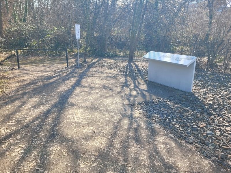
Photographed by James Hulse, March 6, 2026
5. Europahaus-Komplex / Europahaus Complex Marker
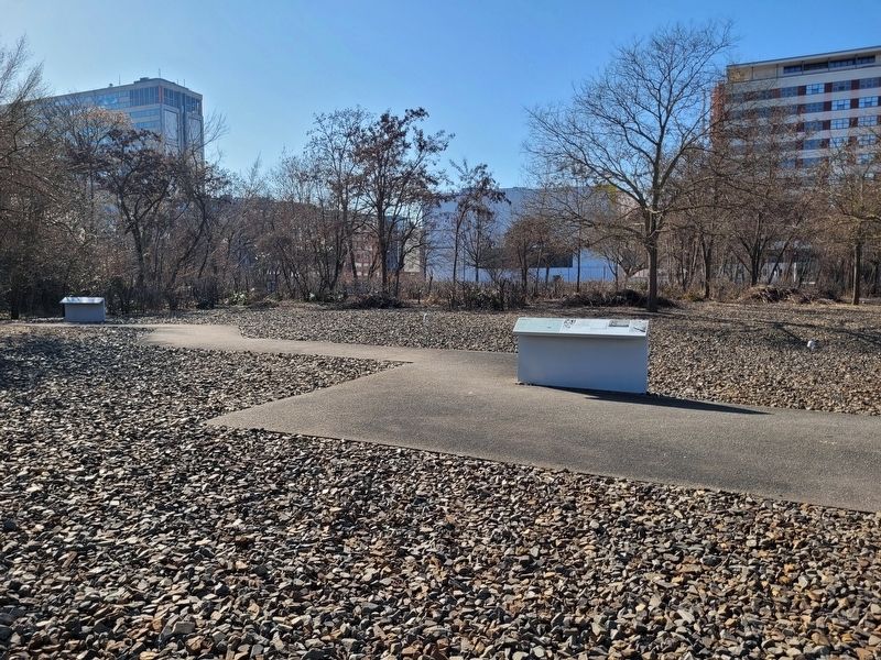
Photographed by James Hulse, March 6, 2026
6. Europahaus-Komplex / Europahaus Complex Marker (Far Left Marker)
Credits. This page was last revised on September 10, 2026. It was originally submitted on September 8, 2026, by James Hulse of Medina, Texas. This page has been viewed 4 times since then. Photos: 1, 2, 3, 4, 5, 6. submitted on September 10, 2026, by James Hulse of Medina, Texas.
