Near Edom in Van Zandt County, Texas — The American South (West South Central)
Roseland Plantation Home
Photographed by Jeff Leichsenring, September 7, 2026
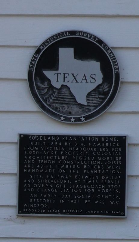
1. Roseland Plantation Home Marker
Built 1854 by B. H. Hambrick, from Virginia. Headquarters for 3,000-acre property. Colonial architecture. Pegged mortise and tenon construction. Joists are 48-ft. timbers. Bricks were handmade on the plantation. Site, halfway between Dallas and Shreveport, at times served as overnight stagecoach stop and change station for horses. An early-day social center. Restored in 1954 by Mrs. W. C. Windsor.
Erected 1966 by State Historical Survey Committee. (Marker Number 11437.)
Topics. This historical marker is listed in this topic list: Notable Buildings. A significant historical year for this entry is 1854.
Location. 32° 22.865′ N, 95° 30.848′ W. Marker is near Edom, Texas, in Van Zandt County. It is on State Highway 64 one mile east of County Road 4814, on the left when traveling west. Touch for map. Marker is at or near this postal address: 2591 State Hwy 64, Ben Wheeler TX 75754, United States of America. Touch for directions.

Regionally, this marker is in the American South and in the Piney Woods. Globally, it is in North America, a Gulf of Mexico state, the Western Hemisphere, the Western World, and the Anglosphere. Historically, it finds itself in what was once New Spain, the Republic of Texas, one of the Confederate States of America, and the Antebellum South.
Other nearby markers. At least 8 other markers are within 6 miles of this marker, measured as the crow flies: Mt. Zion C. M. E. Church (approx. 0.8 miles away); County Line Missionary Baptist Church (approx. 1.4 miles away); Ingram Cemetery (approx. 1½ miles away); Cherokee Chief Bowles (approx. 1.9 miles away); Frontier Red Hill Cemetery (approx. 3.3 miles away); New Harmony Baptist Church (approx. 3.6 miles away); Wood-Verner Cemetery (approx. 5 miles away); First United Methodist Church (approx.
this page online
Photographed by Jeff Leichsenring, September 7, 2026
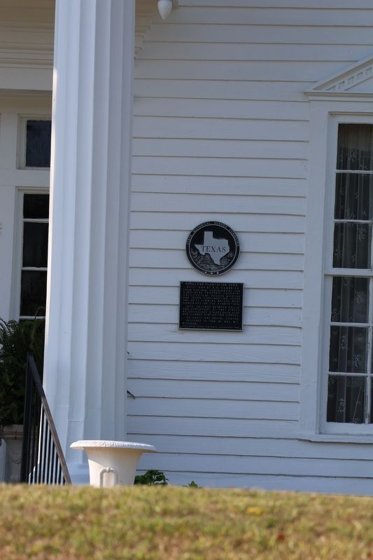
2. Roseland Plantation Home Marker
Photographed by Jeff Leichsenring, September 7, 2026
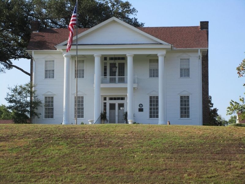
3. Roseland Plantation Home and marker
Credits. This page was last revised on September 12, 2026. It was originally submitted on September 8, 2026, by Jeff Leichsenring of Garland, Texas. This page has been viewed 15 times since then. Photos: 1, 2, 3. submitted on September 8, 2026, by Jeff Leichsenring of Garland, Texas. • James Hulse was the editor who published this page.
