Near Ben Wheeler in Van Zandt County, Texas — The American South (West South Central)
Stanger Springs Church
Photographed by Jeff Leichsenring, September 7, 2026
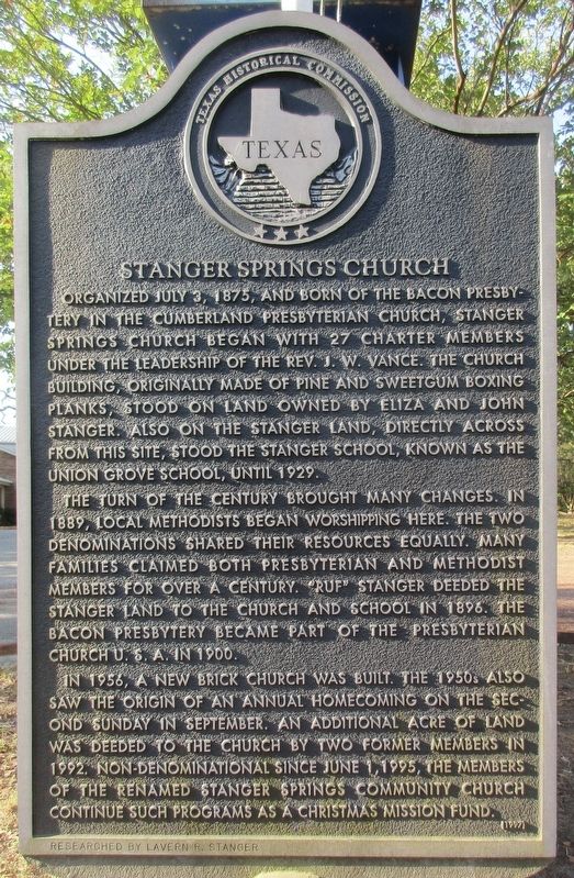
1. Stanger Springs Church Marker
Organized in July 3, 1875, and born of the Bacon Presbytery in the Cumberland Presbyterian Church, Stanger Springs Church began with 27 charter members under the leadership of the Rev. J. W. Vance. The church building, originally made of pine and sweetgum boxing planks, stood on land owned by Eliza and John Stanger. Also on the Stanger land, directly across from this site, stood the Stanger school, known as the Union Grove School, until 1929.
The turn of the century brought many changes. In 1889, local Methodists began worshipping here. The two denominations shared their resources equally. Many families claimed both Presbyterian and Methodist members for over a century. "Ruf" Stanger deeded the Stanger land to the church and school in 1896. The Bacon Presbytery became part of the Presbyterian Church U.S.A. in 1900.
In 1956, a new brick church was built. The 1950s also saw the origin of an annual homecoming on the second Sunday in September. An additional acre of land was deeded to the church by two former members in 1992. Non-denominational since June 1, 1995, the members of the renamed Stanger Springs Community Church continue such programs as a Christmas Mission Fund.
Erected 1997 by Texas Historical Commission. (Marker Number 12268.)
Topics. This historical marker is listed in this topic list: Religion & Religious Structures. A significant historical date for this entry is June 1, 1995.
Location. 32° 25.46′ N, 95° 39.819′ W. Marker is near Ben Wheeler, Texas, in Van Zandt County. It is on County Road 4614 0.1 miles east of County Road 4602, on the left when traveling west. Touch for map. Marker is in this post office area: Ben Wheeler TX 75754, United States of America. Touch for directions.

Regionally, this marker is in the American South and in the Piney Woods. Globally, it is in North America,
this page online
Other nearby markers. At least 8 other markers are within 5 miles of this marker, measured as the crow flies: Cane Syrup Production in Van Zandt County (approx. 2.7 miles away); Alamo Institute (approx. 2.8 miles away); Morgan G. Sanders (approx. 2.8 miles away); Ben Wheeler Community (approx. 2.8 miles away); Primrose-Sexton Community (approx. 3.6 miles away); Tyler-Porter's Bluff Road (approx. 4½ miles away); Prairie Springs Cemetery (approx. 4.7 miles away); Potters Brown (approx. 4.8 miles away). Touch for a list and map of all markers in Ben Wheeler.
Photographed by Jeff Leichsenring, September 7, 2026
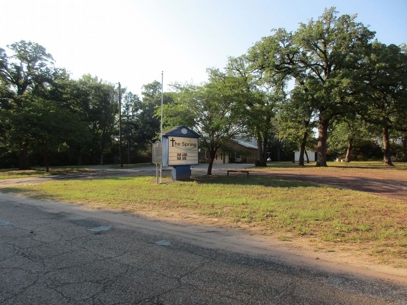
2. Stanger Springs Church and marker
Credits. This page was last revised on September 12, 2026. It was originally submitted on September 8, 2026, by Jeff Leichsenring of Garland, Texas. This page has been viewed 4 times since then. Photos: 1, 2. submitted on September 8, 2026, by Jeff Leichsenring of Garland, Texas. • James Hulse was the editor who published this page.
