Near Front Royal in Warren County, Virginia — The American South (Mid-Atlantic)
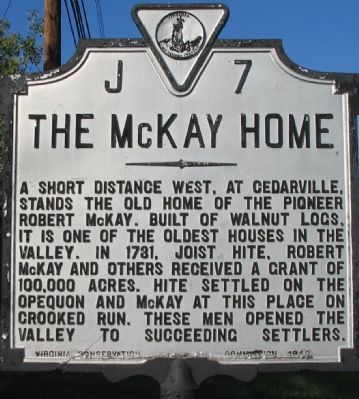
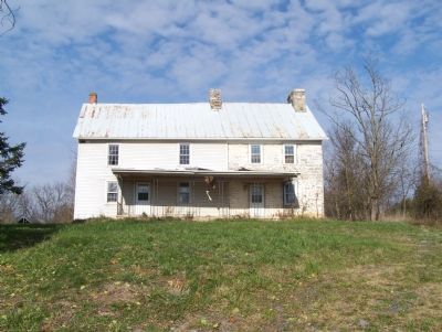
The McKay Home
Erected 1949 by Virginia Conservation Commission. (Marker Number J-7.)
Topics and series. This historical marker is listed in this topic list: Settlements & Settlers. In addition, it is included in the Virginia Department of Historic Resources (DHR) series list. A significant historical year for this entry is 1781.
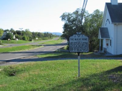
Location. 38° 58.822′ N, 78° 11.078′ W. Marker is near Front Royal, Virginia, in Warren County. Marker is at the intersection of Winchester Road (U.S. 340/522) and Rockland Road (County Route 658), on the right when traveling south on Winchester Road. Touch for map. Marker is in this post office area: Front Royal VA 22630, United States of America. Touch for directions.
Other nearby markers. At least 8 other markers are within 3 miles of this marker, measured as the crow flies. Fairview (approx. 1.1 miles away); Recreational Center of Front Royal (approx. 1.1 miles away); Battle of Front Royal (approx. 2.1 miles away); Execution of Mosby’s Men (approx. 2.1 miles away); Guard Hill Engagement (approx. 2.1 miles away); Guard Hill (approx. 2.2 miles away); The Bridges (approx. 2.7 miles away); Richardson’s Hill (approx. 3.1 miles away). Touch for a list and map of all markers in Front Royal.
Credits. This page was last revised on June 16, 2016. It was originally submitted on October 23, 2007, by Craig Swain of Leesburg, Virginia. This page has been viewed 2,566 times since then and 144 times this year. Photos: 1, 2. submitted on October 23, 2007, by Craig Swain of Leesburg, Virginia. 3. submitted on December 18, 2007, by John H. Hyp of Centreville, Virginia.


