Erie in Erie County, Pennsylvania — The American Northeast (Mid-Atlantic)
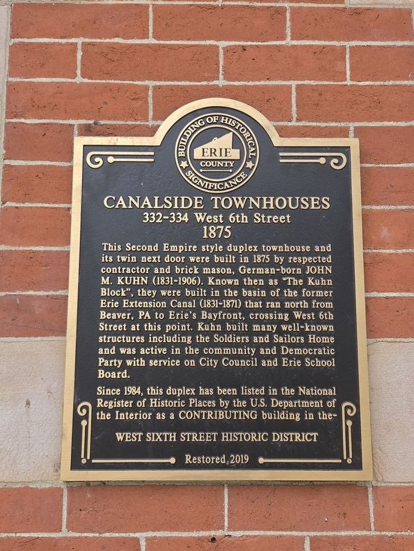
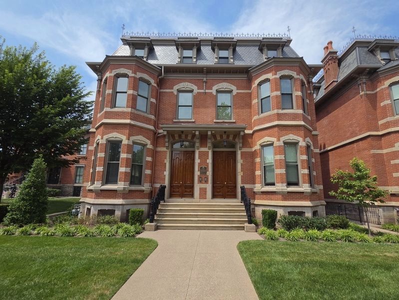
Canalside Townhouses
332-334 West 6th Street
| — | 1875 | — |
Photographed by Mark Parker, July 15, 2026
1. Canalside Townhouses Marker
Since 1984, this duplex has been listed in the National Register of Historic Places by the U.S. Department of the Interior as a Contributing building in the-
West Sixth Street Historic District
Restored 2019
Erected 2019.
Topics. This historical marker is listed in this topic list: Notable Buildings. A significant historical year for this entry is 1875.
Location. 42° 7.615′ N, 80° 5.561′ W. Marker is in Erie, Pennsylvania, in Erie County. It is on West 6th Street (Alternate Pennsylvania Route 5) east of Chestnut Street, on the right when traveling east. The marker location is
this page online

Regionally, this marker is in Northwestern Pennsylvania. It is also in the American Northeast, in the Mid-Atlantic, in Appalachia, and specifically in Northern Appalachia. Globally, it is in North America, on the Great Lakes, in the Western Hemisphere, in the Western World, and in the Anglosphere. Historically, it finds itself in what was once the Viceroyalty of New France, the Haudenosaunee (Iroquois) Confederacy, and one of the original Thirteen Colonies.
Other nearby markers. At least 8 other markers are within walking distance of this marker: Erie Extension Canal (a few steps from this marker); a different marker also named Canalside Townhouses (a few steps from this marker); Wood-Morrison House (a few steps from this marker); a different marker also named Wood-Morrison House (within shouting distance of this marker); Commodore Oliver Hazard Perry (within shouting distance of this marker); Selden House (within shouting distance of this
Photographed by Mark Parker, July 15, 2026
2. Canalside Townhouse. Marker is between the two entrances
Credits. This page was last revised on September 13, 2026. It was originally submitted on September 9, 2026, by Mark Parker of Hickory, North Carolina. This page has been viewed 10 times since then. Photos: 1, 2. submitted on September 9, 2026, by Mark Parker of Hickory, North Carolina. • Andrew Ruppenstein was the editor who published this page.
