Ouderkerk aan de Amstel in Ouder-Amstel, North Holland, Netherlands — Northwestern Europe
Museum Amstelland
Photographed by Andrew Ruppenstein, September 1, 2026
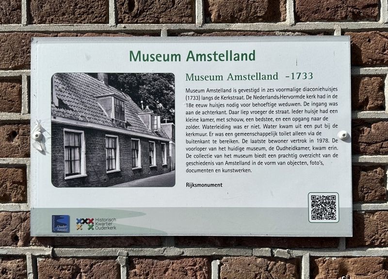
1. Museum Amstelland Marker

Museum Amstelland is gevestigd in zes voormalige diaconiehuisjes (1733) langs de Kerkstraat. De Nederlands Hervormde kerk had in de 18e eeuw huisjes nodig voor behoeftige weduwen. De ingang was aan de achterkant. Daar liep vroeger de straat. leder huisje had een kleine kamer, met schouw, een bedstee, en een opgang naar de zolder. Waterleiding was er niet. Water kwam uit een put bij de kerkmuur. Er was een gemeenschappelijk toilet alleen via de buitenkant te bereiken. De laatste bewoner vertrok in 1978. De voorloper van het huidige museum, de Oudheidkamer, kwam erin. De collectie van het museum biedt een prachtig overzicht van de geschiedenis van Amstelland in de vorm van objecten, foto's, documenten en kunstwerken.
Rijksmonument
Museum Amstelland is housed in six former almshouses (dating from 1733) along Kerkstraat. In the 18th century, the Dutch Reformed Church required housing for needy widows. The entrances were originally at the rear, facing what was then the street. Each cottage consisted of a small room with a fireplace, a box bed, and a staircase
this page online
Erected by Historisch Kwartier Ouderkerk, Gemeente Ouder-Amstel.
Topics. This historical marker is listed in this topic list: Charity & Public Work. A significant historical year for this entry is 1978.
Location. 52° 17.727′ N, 4° 54.145′ E. Marker is in Ouderkerk aan de Amstel, Noord-Holland (North Holland), in Ouder-Amstel. It is on Kerkstraat, on the left when traveling north. Touch for map. Marker is at or near this postal address: Kerkstraat 3, Ouderkerk aan de Amstel, Noord-Holland 1191 JB, Netherlands. Touch for directions.

Regionally, it is in Europe, the European Union, Atlantic Europe, the Benelux Low Countries, the Schengen Area, Western Europe, and the
Photographed by Andrew Ruppenstein, September 1, 2026
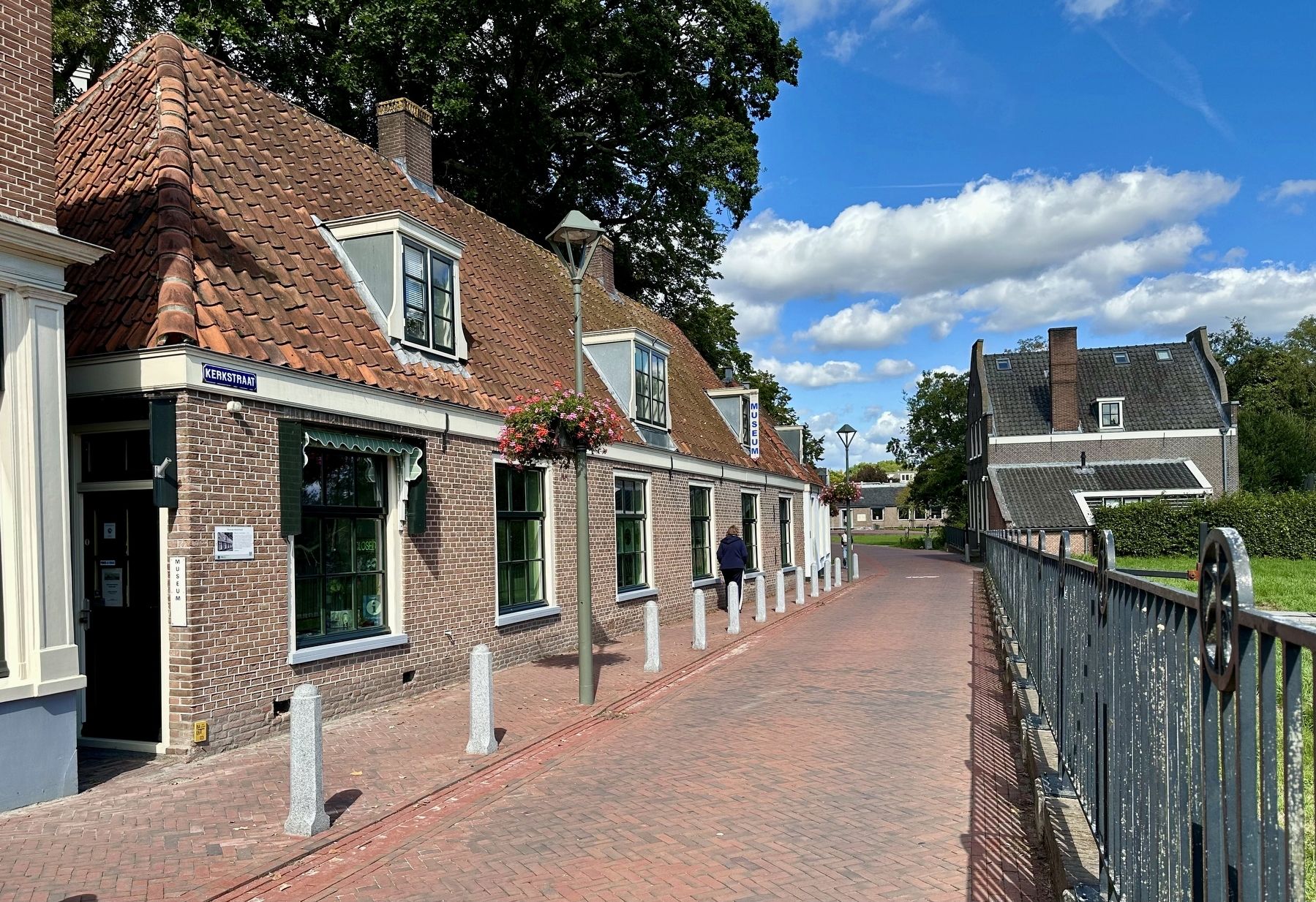
2. Museum Amstelland and marker, looking north on Kerkstraat
Other nearby markers. At least 8 other markers are within walking distance of this marker: Bakkerij Out / Out Bakery (a few steps from this marker); Witte huis / White House (within shouting distance of this marker); Kerkbrug/Korte brug / “Church Bridge”/“Short Bridge” (within shouting distance of this marker); Amstelkerk (within shouting distance of this marker); Sint Urbanuskerk / St. Urbanus Church (within shouting distance of this marker); De Oude Smidse / “The Old Smithy” (within shouting distance of this marker); D’Corendrager / “The Grain Carrier” (about 120 meters away, measured in a direct line); Huis met de kettingen / House with the Chains (about 120 meters away). Touch for a list and map of all markers in Ouderkerk aan de Amstel.
Also see . . . Museum Amstelland (Historisch Kwartier Ouderkerk, in Dutch). The QR code on the marker leads to this page, providing a short history and description of the museum. (Submitted on September 9, 2026.)
Credits. This page was last revised on September 9, 2026. It was originally submitted on September 9, 2026, by Andrew Ruppenstein of Lamorinda, California. This page has been viewed 8 times since then. Photos: 1, 2. submitted on September 9, 2026, by Andrew Ruppenstein of Lamorinda, California.
