Enkhuizen, North Holland, Netherlands — Northwestern Europe
St. Pancras- of Zuidertoren
⎯⎯⎯
St. Pancras- or Southern Tower
Photographed by Andrew Ruppenstein, September 7, 2026
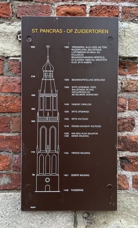
1. St. Pancras- of Zuidertoren / St. Pancras- or Southern Tower Marker
1992 Vervangen: alle lood (40 ton) wijzerplaten, balustrade, 4 spitsbenen en balk-en stijldelen beiaardophanging hersteld, 52 klokken 13850 kg, grootste klok Ø175 3490kg (Replacement: all lead (40 tonnes) for the clock faces and balustrade, repair of 4 spire-turrets and and the beam and upright components of the carillon suspension; 52 bells (13,850 kg total), largest bell Ø175 3490 kg)
1938 Belaardopstelling gewijzigd (Carillon setup modified)
1909 Spits opgewigd, peer, balustrade en veel natuursteen en metselwerk vernieuwd (Spire realigned; 'pear' section, balustrade, and extensive stonework and masonry renewed)
1648 Hemony carillon
1595 Spits opgewigd (Spire raised)
1533 Spits voltooid (Spire completed)
1518 Stenen schacht voltooid (Stone shaft completed)
1509 Van Wou klok Salvator (Van WO Clock Salvator)
1458 Derde snijding (Third level)
1454 Tweede snijding (Second level)
1451 Eerste snijding (First level)
1445 Fundering (Foundation)
Erected by the ANWB. (Marker Number 2502/01.)
Topics. This historical marker is listed in this topic list: Religion & Religious Structures.
Location. 52° 42.224′ N, 5° 17.552′ E. Marker is in Enkhuizen, Noord-Holland (North Holland). It is at the intersection of Zuiderkerksteeg and Torenstraat on Zuiderkerksteeg. Touch for map. Marker is at or near this postal address: Zuiderkerksteeg 5, Enkhuizen, Noord-Holland 1601 NC, Netherlands. Touch for directions.

Regionally, it is in Europe, the European Union, Atlantic Europe, the Benelux Low Countries, the Schengen Area, Western Europe, and the Western World. Historically, it finds itself in what was once the Holy Roman Empire.
Other nearby markers. At least 8 other markers are within walking
this page online
Also see . . . Zuiderkerk (Enkhuizen) (Wikipedia). Overview:
The Zuiderkerk, also called Sint-Pancraskerk is a late Gothic hall church in Enkhuizen, in the Netherlands, currently used by the Protestant Church in the Netherlands.(Submitted on September 10, 2026.)
Photographed by Andrew Ruppenstein, September 7, 2026
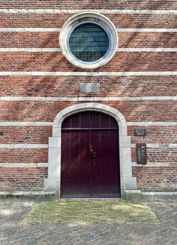
2. St. Pancras- of Zuidertoren / St. Pancras- or Southern Tower Marker
Photographed by Andrew Ruppenstein, September 7, 2026
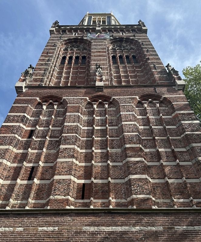
3. St. Pancras- of Zuidertoren / St. Pancras- or Southern Tower - from marker site
Photographed by Andrew Ruppenstein, September 7, 2026
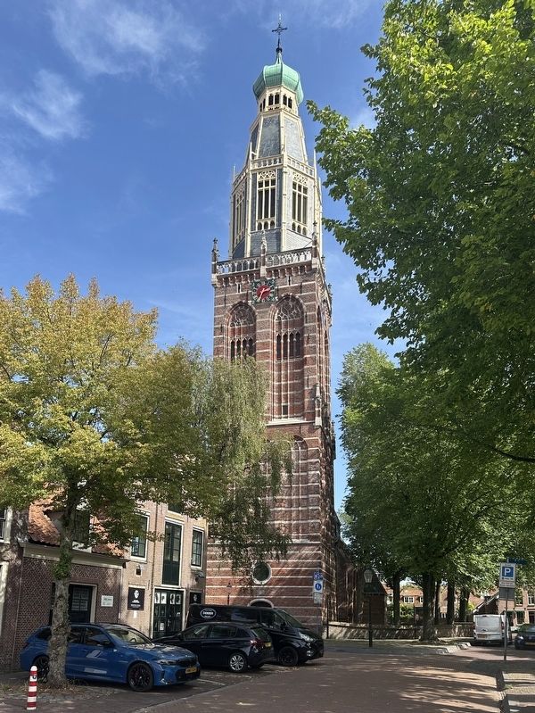
4. St. Pancras- of Zuidertoren / St. Pancras- or Southern Tower
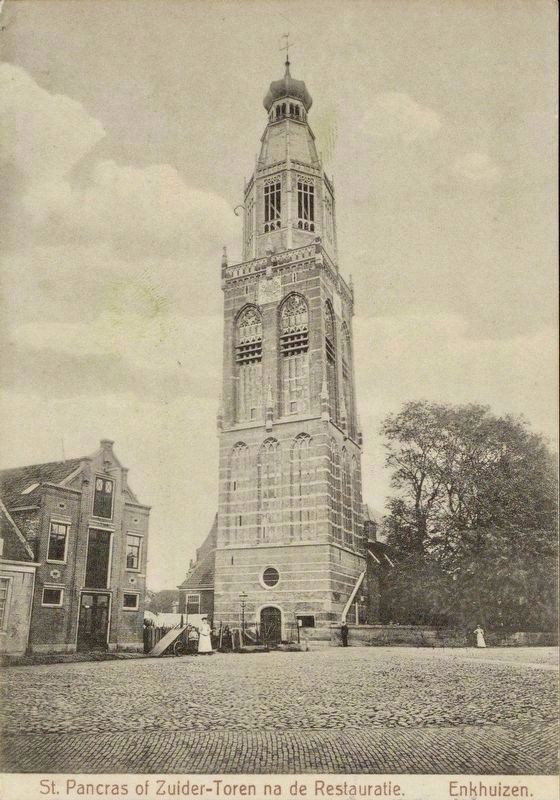
courtesy Noord-Hollands Archief (Inventaris 13510), 1916
5. St. Pancras- of Zuidertoren / St. Pancras- or Southern Tower (after restoration)
Credits. This page was last revised on September 10, 2026. It was originally submitted on September 10, 2026, by Andrew Ruppenstein of Lamorinda, California. This page has been viewed 8 times since then. Photos: 1, 2, 3, 4, 5. submitted on September 10, 2026, by Andrew Ruppenstein of Lamorinda, California.
