Scotts Hill in Henderson County, Tennessee — The American South (East South Central)
20 Highway 114 South
Photographed by David Austin
1. 20 Highway 114 South Marker
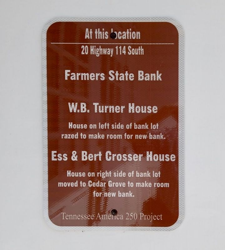
At this location
20 Highway 114 South
Farmers State Bank
W.B. Turner House
House on left side of bank lot razed to make room for new bank.
& Bert Crosser House
House on right side of bank lot moved to Cedar Grove to make room for new bank.
Tennessee America 250 Project
Erected 2026 by Tennessee America 250 and Scotts Hill Heritage Collection.
Topics and series. This historical marker is listed in this topic list: Industry & Commerce. In addition, it is included in the America 250 series list.
Location. 35° 30.886′ N, 88° 14.649′ W. Marker is in Scotts Hill, Tennessee, in Henderson County. It is at the intersection of Highway 114 South and Church Street, on the left when traveling south on Highway 114 South. Touch for map. Marker is in this post office area: Scotts Hill TN 38374, United States of America. Touch for directions.

Regionally, this marker is in West Tennessee. It is also in the American South and specifically in the Upper South. Globally, it is in North America, the Western Hemisphere, the Western World, and the Anglosphere.
this page online
Other nearby markers. At least 8 other markers are within walking distance of this marker: Farmers State Bank and FirstBank: A Century of Community Banking (here, next to this marker); 15 Highway 114 South (within shouting distance of this marker); 2 Highway 114 South (within shouting distance of this marker); 1 Highway 114 South (within shouting distance of this marker); 30 Church St (within shouting distance of this marker); 61 Highway 114 South (within shouting distance of this marker); 40 Church Street (about 300 feet away, measured in a direct line); Prof. B.A. Tucker (about 300 feet away). Touch for a list and map of all markers in Scotts Hill.
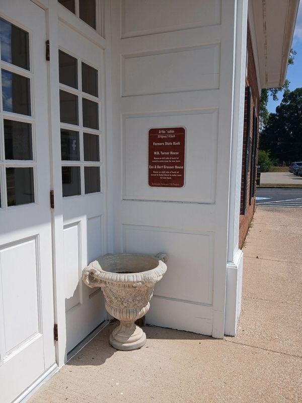
Photographed by David Austin
2. 20 Highway 114 South Marker
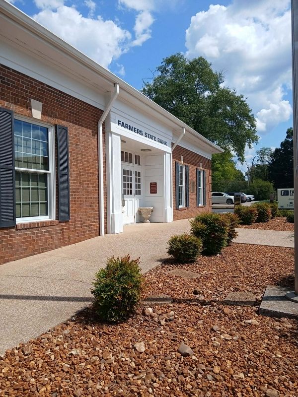
Photographed by David Austin
3. 20 Highway 114 South Marker
Credits. This page was last revised on September 11, 2026. It was originally submitted on September 10, 2026, by David Austin of Scotts Hill, Tennessee. This page has been viewed 11 times since then. Photos: 1, 2, 3. submitted on September 10, 2026, by David Austin of Scotts Hill, Tennessee. • Andrew Ruppenstein was the editor who published this page.
