Centrum in Haarlem, North Holland, Netherlands — Northwestern Europe
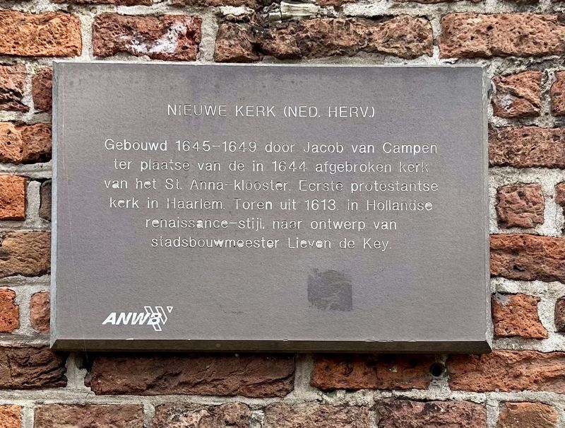
Nieuwe Kerk (Ned. Herv.)
⎯⎯⎯
“New Church” (Dutch Reformed)
Photographed by Andrew Ruppenstein, September 6, 2026
1. Nieuwe Kerk (Ned. Herv.) / “New Church” (Dutch Reformed) Marker

Erected by the ANWB, VVV.
Topics. This historical marker is listed in these topic lists: Architecture • Religion & Religious Structures. A significant historical year for this entry is 1644.
Location. 52° 22.643′ N, 4° 37.766′ E. Marker is in Haarlem, Noord-Holland (North Holland). It is in Centrum. It is on Nieuwe Kerksplein. Touch for map. Marker is at or near this postal address: Nieuwe Kerksplein 16, Haarlem, Noord-Holland 2011 ZT, Netherlands. Touch for directions.

Regionally, it is in Europe, the European Union, Atlantic Europe, the Benelux Low Countries, the Schengen Area, Western
this page online
Other nearby markers. At least 8 other markers are within walking distance of this marker: Hofje van Guurtje de Waal / Guurtje de Waal Almshouse (about 90 meters away, measured in a direct line); Peter Langendijk (about 120 meters away); De Reus Cajanus in Haarlem / Cajanus the Giant in Haarlem (about 120 meters away); Proveniershuis / Home for Pensioners (about 120 meters away); Brouwershofje / Brewers Almshouse (approx. 0.2 kilometers away); Wijnbergshofje / Mennonite Almshouse (approx. 0.3 kilometers away); Hofje van Loo, Gasthuisje / Van Loo Almshouse, Inn (approx. 0.3 kilometers away); Bruiningshofje / Bruinings Almshouse (approx. 0.3 kilometers away). Touch for a list and map of all markers in Haarlem.
Also see . . . Nieuwe Kerk (Haarlem) (Wikipedia). Excerpt:
The Nieuwe Kerk is a historical Protestant Reformed church dating from the 17th century on the Nieuwe Kerksplein in Haarlem, Netherlands.(Submitted on September 11, 2026.)
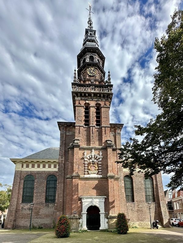
The tower was built in 1613 by Lieven de Key against the older St. Anna church that itself was replaced by a designby Jacob van Campen in 1645-1649.[1] The organ was originally built by J. van Covelen in the 16th century for the St. Bavochurch and was moved to the Nieuwe Kerk in 1791 by H. Hess. The mechanical clock in the tower is from 1795. In the church tower there is a bell from 1749 with a diameter of 98 centimeters by Cyprianus CransPhotographed by Andrew Ruppenstein, September 6, 20262. Nieuwe Kerk (Ned. Herv.) / “New Church” (Dutch Reformed) Marker - wide view
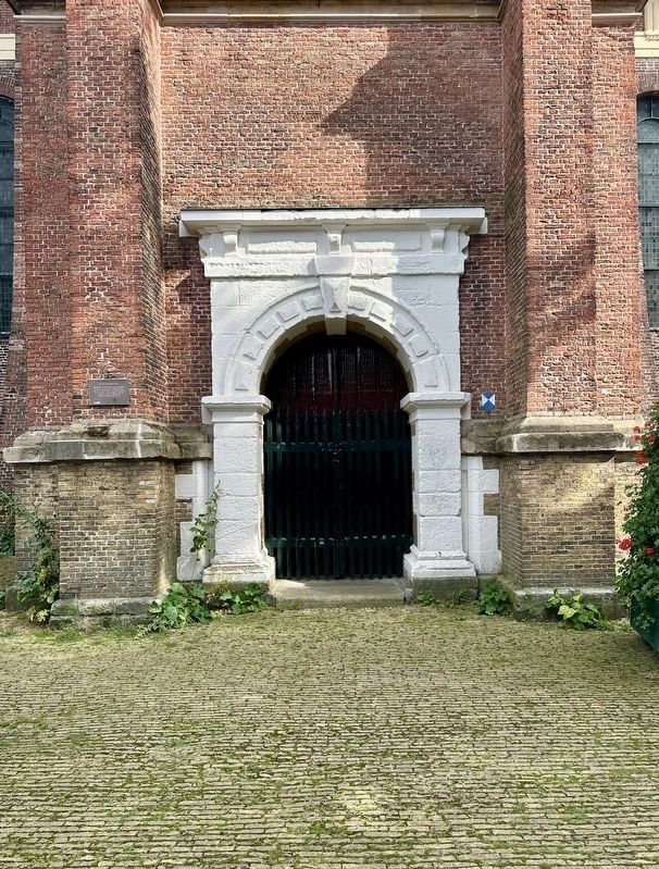
Photographed by Andrew Ruppenstein, September 6, 2026
3. Nieuwe Kerk
Photographed by Andrew Ruppenstein, September 6, 2026
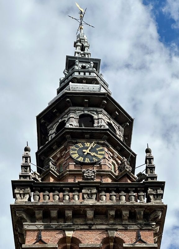
4. Nieuwe Kerk - tower detail

Photographed by Andrew Ruppenstein, September 6, 2026
5. Nieuwe Kerk - Haarlem coat of arms

Photographed by W.H. van Leeuwen, Haarlem (courtesy Noord-Hollands Archief (Inventaris 3311)), circa 1910
6. De Nieuwe Kerk, Haarlem
Credits. This page was last revised on September 11, 2026. It was originally submitted on September 11, 2026, by Andrew Ruppenstein of Lamorinda, California. This page has been viewed 5 times since then. Photos: 1, 2, 3, 4, 5, 6. submitted on September 11, 2026, by Andrew Ruppenstein of Lamorinda, California.
