
Long Branch in Toronto, Ontario — Central Canada (North America)
Hurricane Hazel
Photographed by Tim Boyd, September 7, 2026
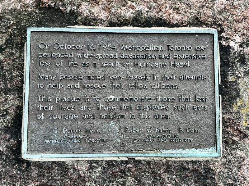
1. Hurricane Hazel Marker
This plaque is to commemorate those that lost their lives and those that displayed such acts of courage and heroism in this area.
Topics. This historical marker is listed in this topic list: Disasters. A significant historical date for this entry is October 16, 1954.
Location. 43° 35.196′ N, 79° 32.601′ W. Marker is in Toronto, Ontario. It is in Long Branch. It can be reached from Forty Second Street. The marker is in Marie Curtis Park, near the parking lot approx. 150 metres from the entrance on Fourty Second Street. Touch for map. Marker is at or near this postal address: 2 Forty Second Street, Toronto ON M8W 1C3, Canada. Touch for directions.

Regionally, this marker is in Greater Toronto and on the Golden Horseshoe. It is also in Central Canada. Globally, it is in North America, on the Great Lakes, in the Western Hemisphere, in the Western World, and in the Anglosphere. Historically, it
this page online
Other nearby markers. At least 8 other markers are within 5 kilometers of this marker, measured as the crow flies: The Toronto Purchase (here, next to this marker); Marie Curtis Park (here, next to this marker); Canada’s First Aerodrome (approx. 1.4 kilometers away); Sir Adam Beck School and the Summer of ‘36 (approx. 1.7 kilometers away); The O’Connor-Lafferty House (approx. 2.5 kilometers away); Long Branch Race Track (approx. 2.6 kilometers away); New Toronto Filtration Plant/Lakeshore Pumping Station (approx. 3.4 kilometers away); Bell Telephone Company Building (approx. 3.6 kilometers away). Touch for a list and map of all markers in Toronto.
Also see . . . Hurricane Hazel’s Legacy (Toronto and Region Conservation Authority).
Hurricane Hazel originated in the Caribbean in early October 1954. The storm’s power, combined with saturated ground from heavy autumn rains, caused widespread ruin in the Toronto region.(Submitted on September 12, 2026, by Tim Boyd of Hamilton, Ontario.)
Homes and businesses were destroyed, highways washed out, andrivers – notably the Humber – overflowed. The impact was devastating:Photographed by Tim Boyd, September 7, 20262. Hurricane Hazel Marker
- 285 mm of rainfall over 48 hours in the Toronto region
- 81 lives lost in the Greater Toronto Area (GTA), with nearly 1,200 lives lost in total due to the storm’s destruction
- Thousands were displaced
- Most bridges on Toronto’s west side were destroyed or badly damaged
- Over $135 million in damages, equivalent to C$1.3 billion today (CAD)
Photographed by Tim Boyd, September 7, 2026
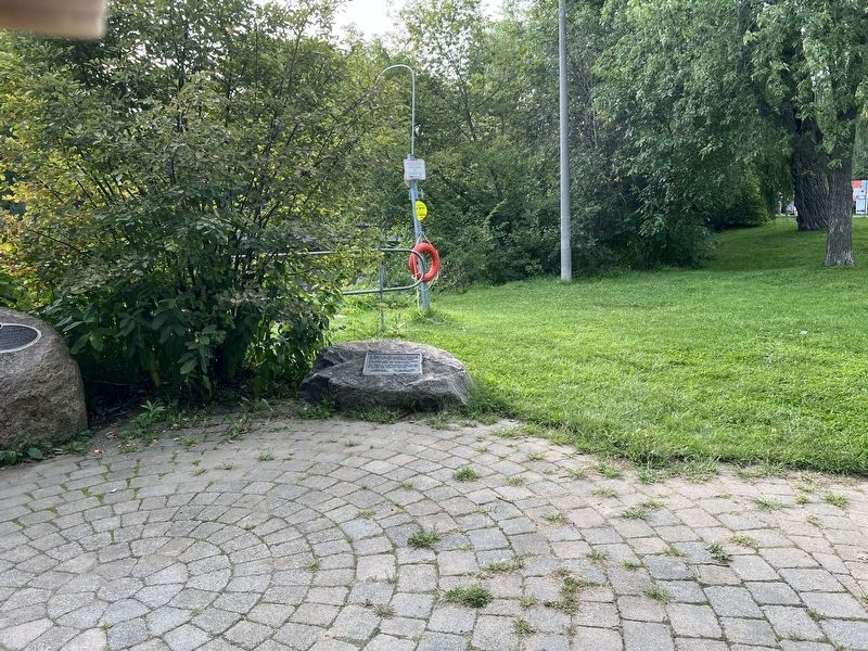
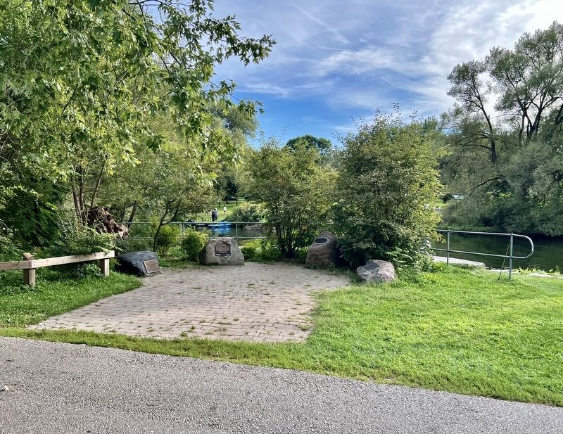
3. Hurricane Hazel Marker
The marker on the far right
Credits. This page was last revised on September 12, 2026. It was originally submitted on September 12, 2026, by Tim Boyd of Hamilton, Ontario. This page has been viewed 4 times since then. Photos: 1, 2, 3. submitted on September 12, 2026, by Tim Boyd of Hamilton, Ontario. • Andrew Ruppenstein was the editor who published this page.
