Newtown Township in Bucks County, Pennsylvania — The American Northeast (Mid-Atlantic)
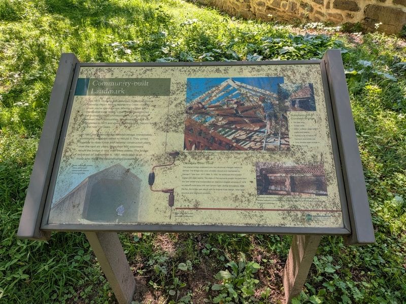
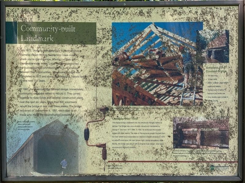
Community-built Landmark
Photographed by Richard Peterson, September 7, 2026
1. Community-built Landmark Marker
In 1991, fire destroyed the beloved bridge. Immediately, community members rallied to rebuild it. They joined together to raise funds and develop construction plans over the next six years. More than 800 volunteers rebuilt the bridge in less than three weeks. The bridge reopened on September 6, 1997, dedicated to all those who made the reconstructed bridge possible.
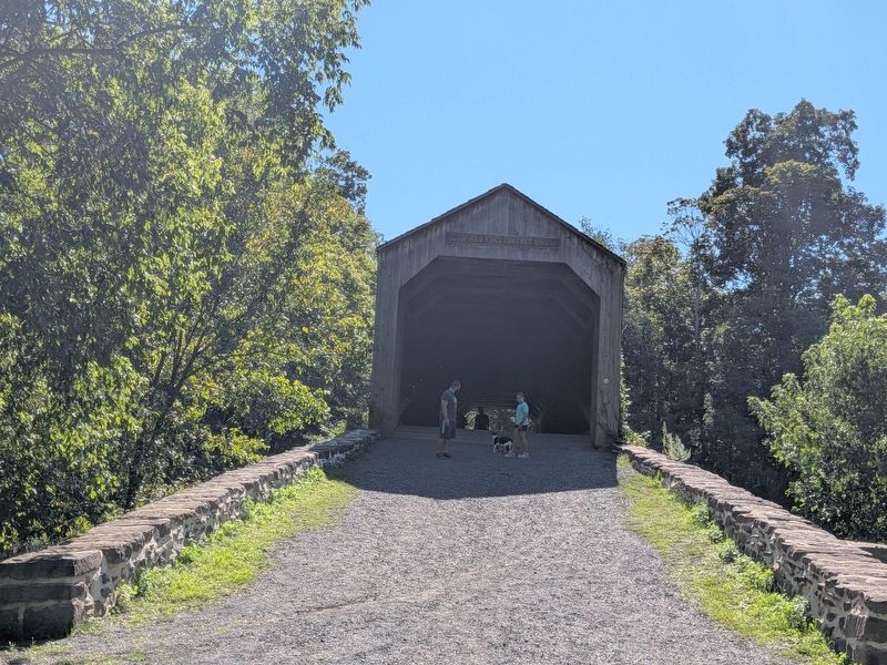
Schofield Ford Covered Bridge
• 164 feet long
• 15 feet wide
• 3000+ wooden pegs secure posts and beams
• Entirely built of native PA hemlock and white oak
• Only double-span bridge in Bucks County
Changes Over Time
The original bridge underwent only two structural changes before its demise. The Bridge was once privately owned and maintained by George F. Tyler from 1917-1964.
this page online
Photo captions:
• Community members rebuild the Schofield Ford Covered Bridge, above. Before beginning the bridge, volunteers raised a timber frame barn to practice techniques for the bridge construction.
• Today, equestrians, cyclists, hikers, painters and photographers frequent the covered bridge.
• Hand drill used in post and beam construction.
• Residents referred to the original covered bridge by the names of the farming families adjactent to it. Hence it was originally known as both Twining Ford Bridge and Schofield Ford Bridge.
Erected by Pennsylvania Department of Conservation and Natural Resources.
Topics and series. This historical marker is listed in this topic list: Bridges & Viaducts. In addition, it is included in the Covered Bridges series list. A significant historical year for this entry is 1873.
Location. 40° 14.667′ N,
Photographed by Richard Peterson, September 7, 2026
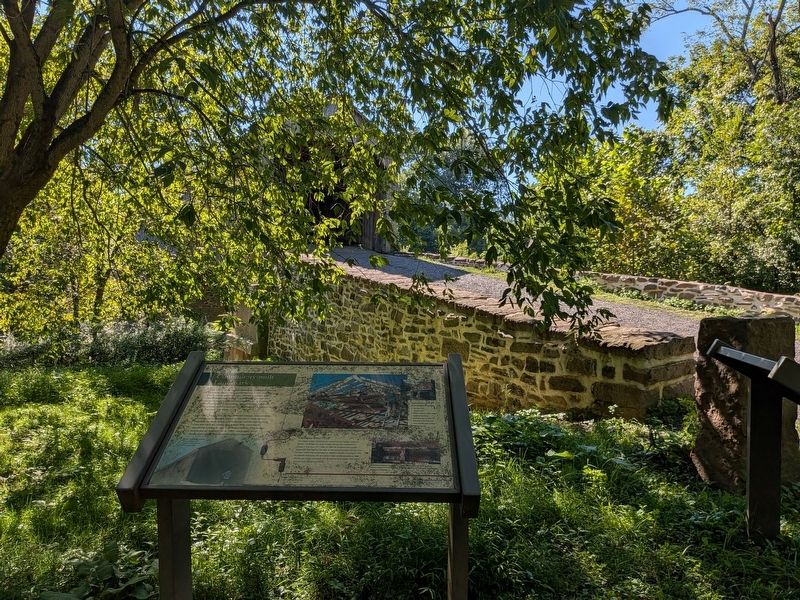
2. Community-built Landmark Marker in front of Schofield Ford Covered Bridge

Regionally, this marker is in Southeast Pennsylvania and in Greater Philadelphia. It is also in the American Northeast and in the Mid-Atlantic. Globally, it is in North America, the Western Hemisphere, the Western World, and the Anglosphere. Historically, it finds itself in what was once the Haudenosaunee (Iroquois) Confederacy, New Netherland, and one of the original Thirteen Colonies.
Other nearby markers. At least 8 other markers are within walking distance of this marker: The Schofield Ford Covered Bridge (here, next to this marker); Bridging Past and Present (here, next to this marker); A Bridge from Past to Present, Neighbor to Neighbor ... (about 300 feet away, measured in a direct line); From Public Highway to Scenic Byway ...
Photographed by Richard Peterson, September 7, 2026
3. Schofield Ford Covered Bridge
Photographed by Richard Peterson, September 7, 2026
4. Community-built Landmark Marker
Credits. This page was last revised on September 16, 2026. It was originally submitted on September 12, 2026, by Richard Peterson of East Windsor, New Jersey. This page has been viewed 12 times since then. Photos: 1, 2, 3, 4. submitted on September 12, 2026, by Richard Peterson of East Windsor, New Jersey. • Andrew Ruppenstein was the editor who published this page.
