Regierungsvierte in Berlin in Mitte, Germany — Northeast German Plain (The European Plain)
Konzerthaus Clou und die Gestapo
⎯⎯⎯
Clou Concert Hall and the Gestapo
Photographed by James Hulse, March 6, 2026
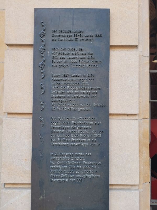
1. Konzerthaus Clou und die Gestapo / Clou Concert Hall and the Gestapo Marker

Schon 1927 fanden im Clou Massenveranstaltungen der Nationalsozialisten statt. Teile des Propagandaapparates befanden sich mit Verlag und Druckerei im Vorderhaus und Seitengebäuden. Die Keller wurden von der Gestapo als Verhörkeller genutzt.
Das Clou diente während der sogenannten Fabrik-Aktion als Sammellager für hunderte jüdischer Zwangsarbeiter, die von der Gestapo Ende Februar 1943 aus Berliner Betrieben in die Vernichtung verschleppt wurden.
Im 2. Weltkrieg wurde das Konzerthaus zerstört. Vor dem erhaltenen Vorderhaus verlief von 1961 bis 1990 die Berliner Mauer. Es gehörte in dieser Zeit zum unzugänglichen Grenzgebiet der DDR.
The building complex at Zimmerstraße 88–91 was constructed in 1886 as Market Hall III. After the courtyard buildings were remodeled, the Clou concert hall opened here in 1910. With 4,000 seats, it was at that time Berlin’s largest dance
this page online
As early as 1927, mass events of the National Socialists were held at the Clou. Parts of the propaganda apparatus, including a publishing house and printing works, were located in the front building and side buildings. The cellars were used by the Gestapo as interrogation rooms.
During the so-called Factory Action, the Clou served as an assembly camp for hundreds of Jewish forced laborers who, at the end of February 1943, were taken by the Gestapo from Berlin businesses and deported to their deaths.
The concert hall was destroyed during World War II. From 1961 to 1990, the Berlin Wall ran in front of the surviving front building. During this period, it was part of the inaccessible border zone of the GDR.
Topics. This historical marker is listed in these topic lists: Notable Buildings • War, World II. A significant historical month for this entry is February 1943.
Location. 52° 30.459′ N, 13° 23.275′ E. Marker is in Berlin, in Mitte. It is in Regierungsvierte. It is on Zimmerstraße just east of Wilhelmstrasse, on the left when traveling east. Touch for map. Marker is at or near this postal address: Zimmerstraße 90, Berlin
Photographed by James Hulse, March 6, 2026
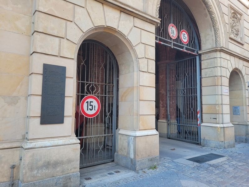
2. Konzerthaus Clou und die Gestapo / Clou Concert Hall and the Gestapo Marker

Regionally, it is in Europe, the European Union, Atlantic Europe, Central Europe, the Schengen Area, Western Europe, and the Western World. Historically, it finds itself in what was once the Holy Roman Empire.
Other nearby markers. At least 8 other markers are within walking distance of this marker: Frontlinie des Kalten Krieges / Front Line of the Cold War (within shouting distance of this marker); Zimmerstraße 14/15 (within shouting distance of this marker); Wilhelmstraße (about 150 meters away, measured in a direct line); Checkpoint Charlie (about 150 meters away); Checkpoint Charlie Site (about 150 meters away); Panzerkonfrontation am Checkpoint Charlie / Checkpoint Charlie Tank Standoff (about 180 meters away); Prinz-Albrecht-Gelände (about 180 meters away); Berliner Mauer / Berlin Wall (about 180 meters away). Touch for a list and map of all markers in Berlin.
Photographed by James Hulse, March 6, 2026
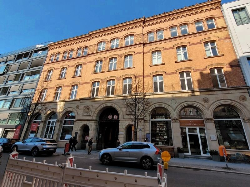
3. Konzerthaus Clou und die Gestapo / Clou Concert Hall and the Gestapo Marker
The marker is located at the left side of the main entrance.
Credits. This page was last revised on September 13, 2026. It was originally submitted on September 12, 2026, by James Hulse of Medina, Texas. This page has been viewed 5 times since then. Photos: 1, 2, 3. submitted on September 13, 2026, by James Hulse of Medina, Texas.
