Northampton Township in Bucks County, Pennsylvania — The American Northeast (Mid-Atlantic)
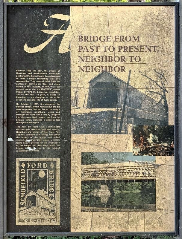
A Bridge from Past to Present, Neighbor to Neighbor ...
Photographed by Richard Peterson, September 7, 2026
1. A Bridge from Past to Present, Neighbor to Neighbor ... Marker
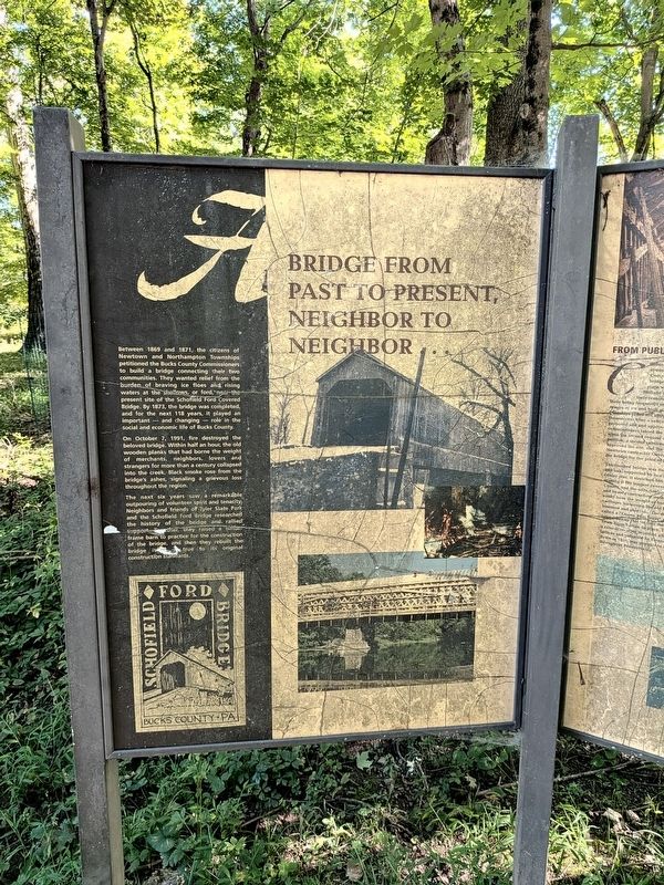
On October 7, 1991, fire destroyed the beloved bridge. Within half an hour, the old wooden planks that had borne the weight of merchants, neighbors, lovers and strangers for more than a century collapsed into the creek. Black smoke rose from the bridge’s ashes, signaling a grievous loss throughout the region.
The next six years saw a remarkable outpouring of volunteer spirit and tenacity. Neighbors and friends of Tyler State Park and the Schofield Ford Bridge researched the history of the bridge and rallied support. Together, they raised a timber frame barn to practice for the construction of the bridge, and then they rebuilt the bridge itself
this page online
Topics and series. This historical marker is listed in this topic list: Bridges & Viaducts. In addition, it is included in the Covered Bridges series list. A significant historical year for this entry is 1873.
Location. 40° 14.644′ N, 74° 58.87′ W. Marker is in Northampton Township, Pennsylvania, in Bucks County. It can be reached from Swamp Road 0.7 miles east of Worthington Mill Road. Marker is in Tyler State Park. It is on the Covered Bridge Trail, 0.2 mile from the parking area which is 0.2 mile from Swamp Road. Touch for map. Marker is in this post office area: Richboro PA 18954, United States of America. Touch for directions.

Regionally, this marker is in Southeast Pennsylvania and in Greater Philadelphia. It is also in the American Northeast and in the Mid-Atlantic. Globally, it is in North America, the Western Hemisphere, the Western World, and the Anglosphere. Historically, it finds itself in what was once the Haudenosaunee (Iroquois) Confederacy, New Netherland, and one of the original Thirteen Colonies.
Other nearby markers. At least 8 other markers are within walking
Photographed by Richard Peterson, September 7, 2026
2. A Bridge from Past to Present, Neighbor to Neighbor ... Marker
Photographed by Richard Peterson, September 7, 2026
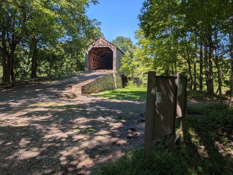
3. Schofield Ford Covered Bridge, group of four Markers at right
Photographed by Richard Peterson, September 7, 2026
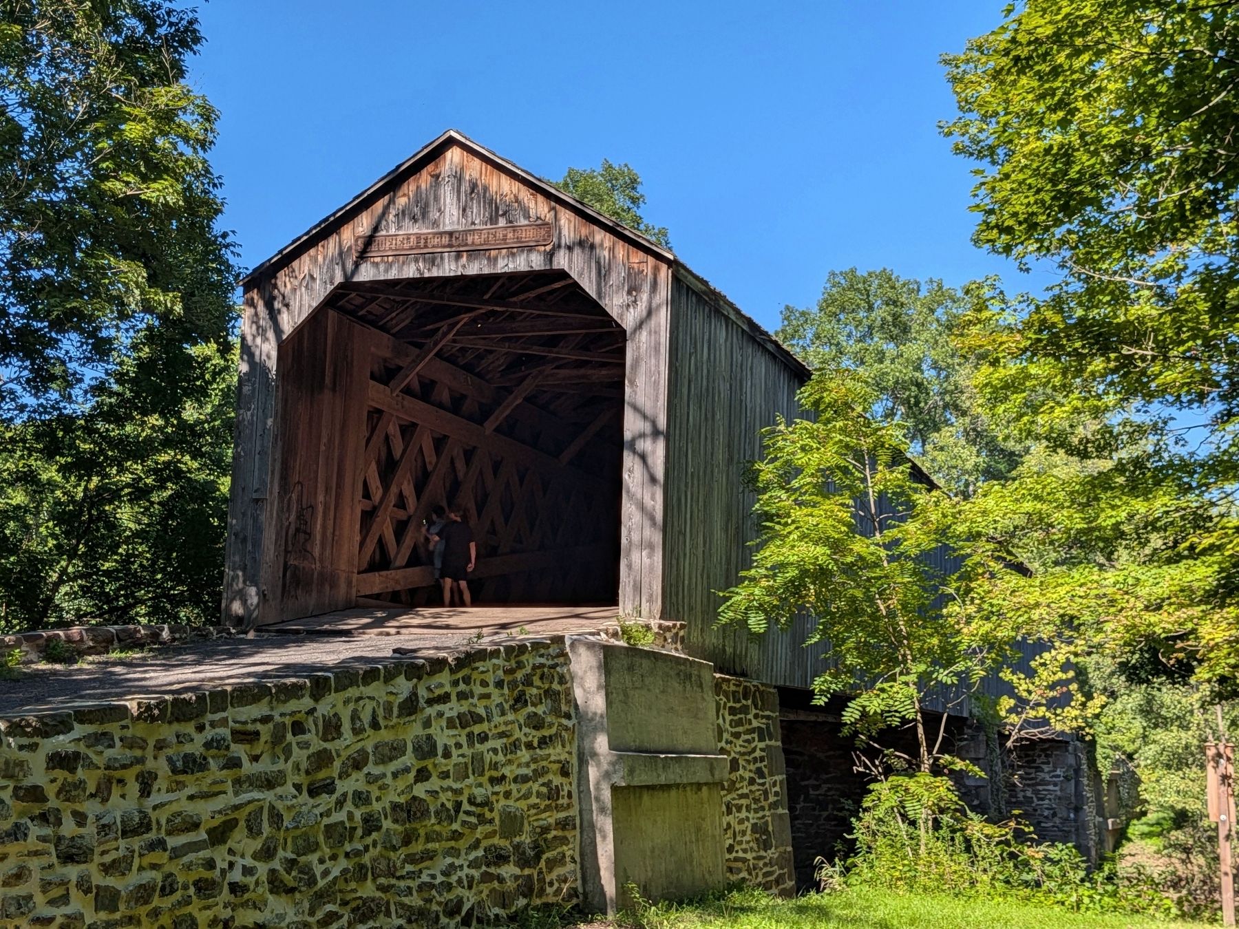
4. Schofield Ford Covered Bridge
Credits. This page was last revised on September 16, 2026. It was originally submitted on September 12, 2026, by Richard Peterson of East Windsor, New Jersey. This page has been viewed 8 times since then. Photos: 1, 2, 3, 4. submitted on September 12, 2026, by Richard Peterson of East Windsor, New Jersey. • Andrew Ruppenstein was the editor who published this page.
