
Thomasville in Thomas County, Georgia — The American South (South Atlantic)
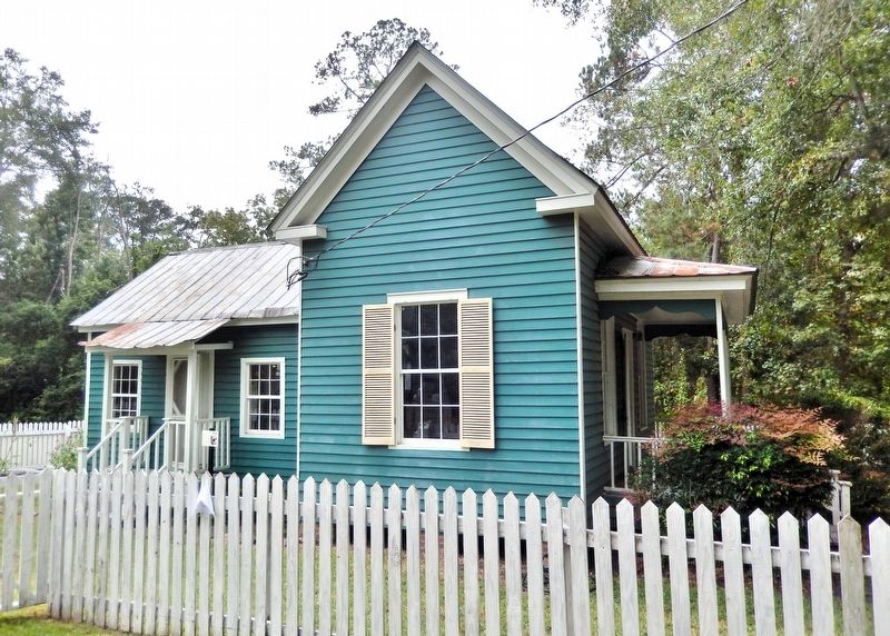
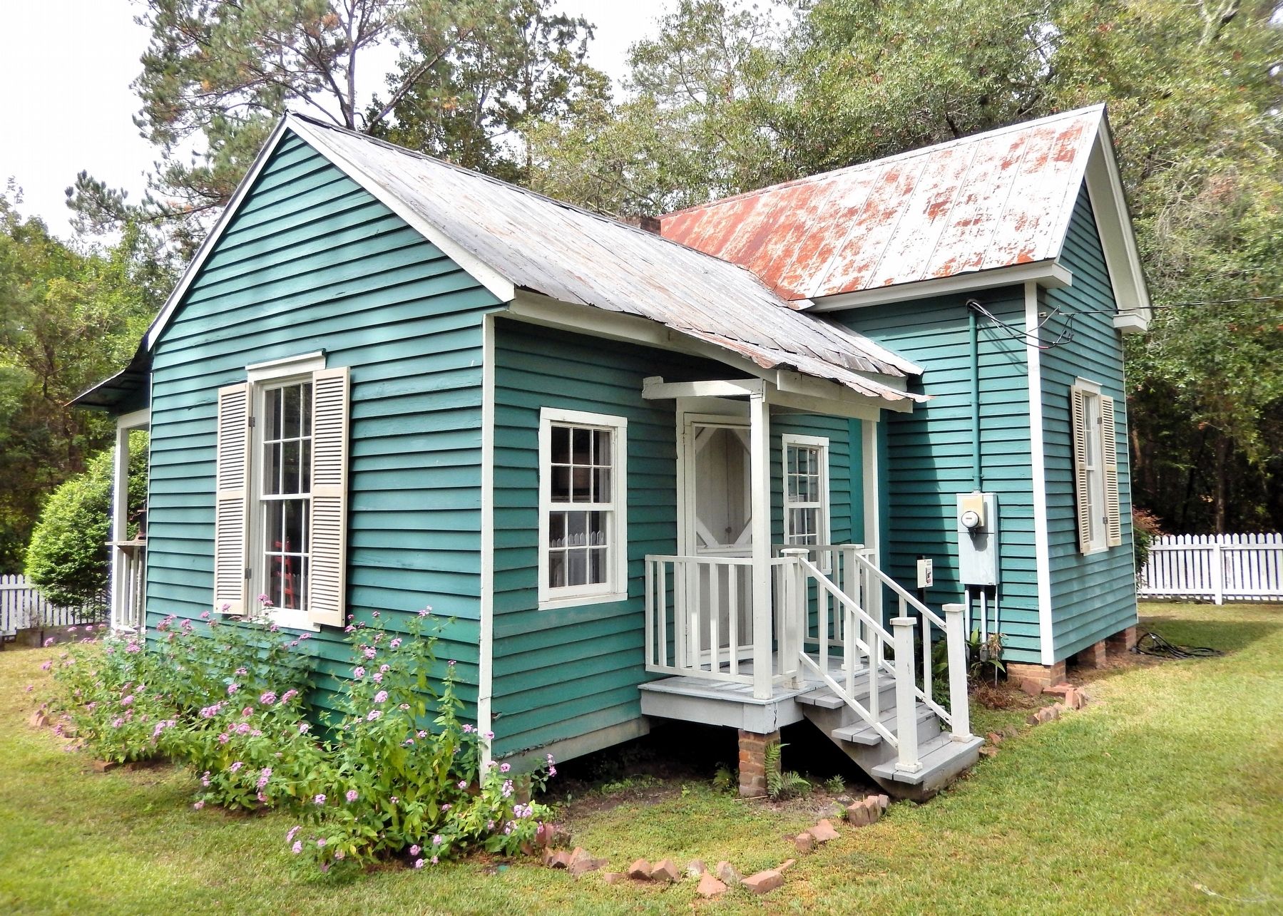
Emily Joyner House
1877
Photographed by Cosmos Mariner, October 6, 2025
1. Emily Joyner House Marker
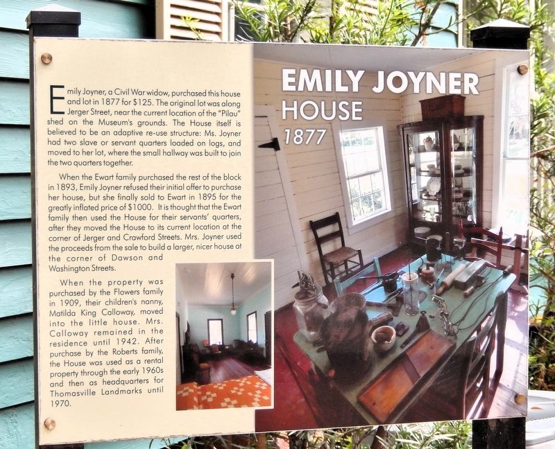
Emily Joyner, a Civil War widow, purchased this house and lot in 1877 for $125. The original lot was along Jerger Street, near the current location of the “Pilau” shed on the Museum's grounds. The house itself is believed to be an adaptive re-use structure: Ms. Joyner had two slave or servant quarters loaded on logs, and moved to her lot, where the small hallway was built to join the two quarters together.
When the Ewart family purchased the rest of the block in 1893, Emily Joyner refused their initial offer to purchase her house, but she finally sold to Ewart in 1895 for the greatly inflated price of $1000. It is thought that the Ewart family then used the house for their servants' quarters, after they moved the house to its current location at the corner of Jerger and Crawford Streets. Mrs. Joyner used the proceeds from the sale to build a larger, nicer house at the corner of Dawson and Washington Streets.
When the property was purchased by the Flowers family in 1909, their children's nanny, Matilda King Calloway, moved into the little house. Mrs. Calloway remained in the residence until 1942. After purchase by the Roberts
this page online
Erected by Thomasville History Center.
Topics. This historical marker is listed in this topic list: Architecture. A significant historical year for this entry is 1877.
Location. 30° 50.744′ N, 83° 59.121′ W. Marker is in Thomasville, Georgia, in Thomas County. It is at the intersection of East Jerger Street and North Crawford Street, on the left when traveling west on East Jerger Street. The marker and house are on the Thomasville History Center grounds. Touch for map. Marker is at or near this postal address: 725 North Dawson Street, Thomasville GA, United States of America. Touch for directions.

Regionally, this marker is in Georgia’s Coastal Plain. It is also in the American South, specifically in the Deep South, and in the Wiregrass. Globally, it is in North America, the Western Hemisphere, the Western World, and the Anglosphere. Historically, it finds itself in what was once the territory of the Mississippian Culture, one of the original Thirteen Colonies, one of the Confederate
Photographed by Cosmos Mariner, October 6, 2025
2. Emily Joyner House Marker
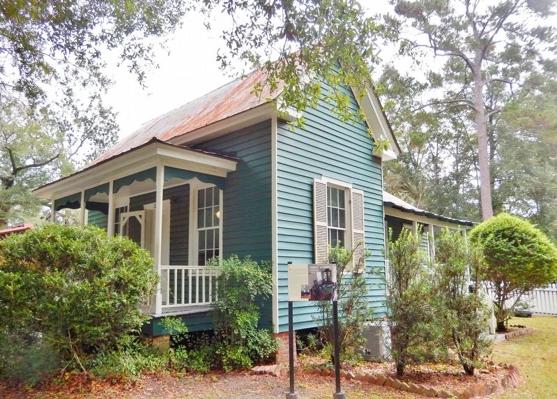
The marker is beside the northwest corner of the house.
Other nearby markers. At least 8 other markers are within walking distance of this marker: Dixie Highway (within shouting distance of this marker); Metcalfe Courthouse (within shouting distance of this marker); Yeoman Tool Shed (within shouting distance of this marker); Rufus Smith Log House (within shouting distance of this marker); Welcome to the Smith Family Homestead (within shouting distance of this marker); O.C. Ewart Bowling Alley (within shouting distance of this marker); Oliver C. Ewart Bowling Alley (within shouting distance of this marker); Roberts Family Garage (within shouting distance of this marker). Touch for a list and map of all markers in Thomasville.
Photographed by Cosmos Mariner, October 6, 2025
3. Emily Joyner House (north/front elevation)
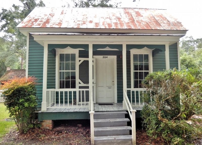
Facing East Jerger Street, the original address of this house was 204 East Jerger Street. Now it occupies the northwest corner of the Thomasville History Center grounds.
Photographed by Cosmos Mariner, October 6, 2025
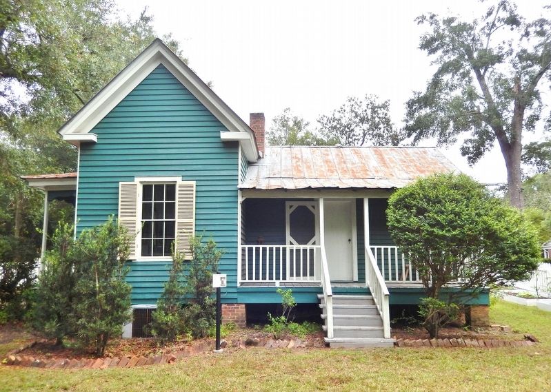
4. Emily Joyner House (west elevation)
Photographed by Cosmos Mariner, October 6, 2025
5. Emily Joyner House (east elevation)
Photographed by Cosmos Mariner, October 6, 2025
6. Emily Joyner House (southeast elevation)
Credits. This page was last revised on September 13, 2026. It was originally submitted on September 12, 2026, by Cosmos Mariner of Cape Canaveral, Florida. This page has been viewed 3 times since then. Photos: 1, 2, 3, 4, 5, 6. submitted on September 13, 2026, by Cosmos Mariner of Cape Canaveral, Florida.
