Enkhuizen, North Holland, Netherlands — Northwestern Europe
De Munt
⎯⎯⎯
The Mint
Photographed by Andrew Ruppenstein, September 7, 2026
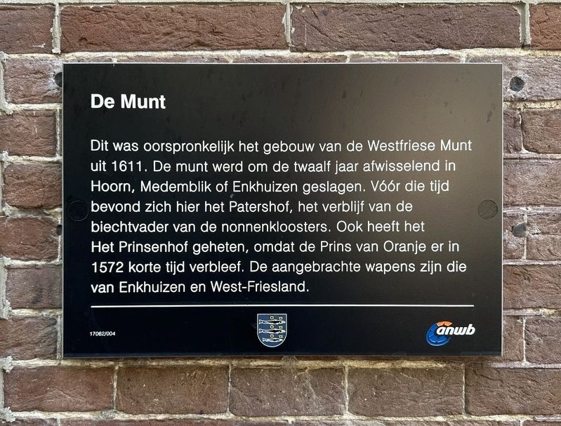
1. De Munt / The Mint Marker

Dit was oorspronkelijk het gebouw van de Westfriese Munt uit 1611. De munt werd om de twaalf jaar afwisselend in Hoorn, Medemblik of Enkhuizen geslagen. Vóór die tijd bevond zich hier het Patershof, het verblijf van de biechtvader van de nonnenkloosters. Ook heeft het Het Prinsenhof geheten, omdat de Prins van Oranje er in 1572 korte tijd verbleef. De aangebrachte wapens zijn die van Enkhuizen en West-Friesland.
The Mint
This building originally housed the West Friesland Mint, established in 1611. Minting operations rotated every twelve years between the towns of Hoorn, Medemblik, and Enkhuizen. Prior to that, the site was home to the Patershof, the residence of the confessor to the local convents. It was also known as the Prinsenhof (“Prince's Court”), as the Prince of Orange stayed there briefly in 1572. The coats of arms displayed on the building are those of Enkhuizen and West Friesland.
Erected by Gemeente Enkhuizen, ANWB. (Marker Number 17062/004.)
Topics. This historical marker is listed in this topic list: Industry & Commerce. A significant historical year for this entry is 1611.
Location. 52° 42.189′ N,
this page online

Regionally, it is in Europe, the European Union, Atlantic Europe, the Benelux Low Countries, the Schengen Area, Western Europe, and the Western World. Historically, it finds itself in what was once the Holy Roman Empire.
Other nearby markers. At least 8 other markers are within walking distance of this marker: Soephuisje / Soup House (within shouting distance of this marker); Westerstraat 158 (about 120 meters away, measured in a direct line); Vermaning (Doopsgezinde kerk) / Vermaning (Mennonite Church) (about 240 meters away); St. Pancras- of Zuidertoren / St. Pancras- or Southern Tower (approx. 0.4 kilometers away); Synagoge / Synagogue (approx. half a kilometer away); Enkhuizen Harbor Bombardment Memorial (approx. half a kilometer away); Genaamt: Het Huis van Gemak (approx. 0.6 kilometers away); Gevangenis / Prison (approx. 0.6 kilometers
Photographed by Andrew Ruppenstein, September 7, 2026
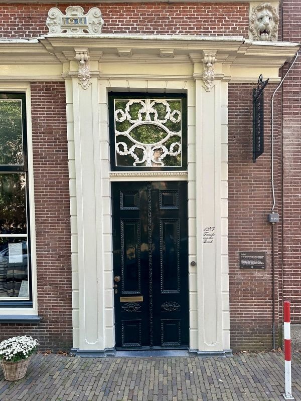
2. De Munt / The Mint Marker
Also see . . . De Westfriese Munt (Bezoek Enkhuizen). Excerpt:
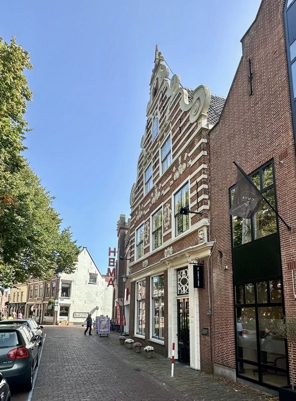
At Westerstraat 125 is the Mint, the building where the VOC coins were minted. This happened alternately in Enkhuizen, Hoorn or Medemblik. The beautiful facade has remained almost intact. The monumental building now houses De Sprong, a shop for women’s fashion.(Submitted on September 13, 2026.)
The Westfriese Munt opposite the Westerkerk is a real eye-catcher. It is a building that existed long before 1600 with many functions. With the outbuildings up to the Dijk it was initially a church institution. A hospitable facility was housed there.
It bore the name of Patershof since 1467. West Frisian Munt. Every self-respecting city in Holland had its own coin. Hoorn and Medemblik also had their own coins, so that by mutual agreement, every six years the coin was established alternately in Enkhuizen, Hoorn and Medemblik. This, incidentally, to the chagrin of the counts of Holland, who would have liked to see one coin of equal value. That turned out not to be easy, because the stubborn West Frisians saw more salvation and value in theirown currency.Photographed by Andrew Ruppenstein, September 7, 20263. De Munt / The Mint building and marker
Photographed by Uitg. A. Egmond (courtesy Noord-Hollands Archief, Inventaris 13465), circa 1905
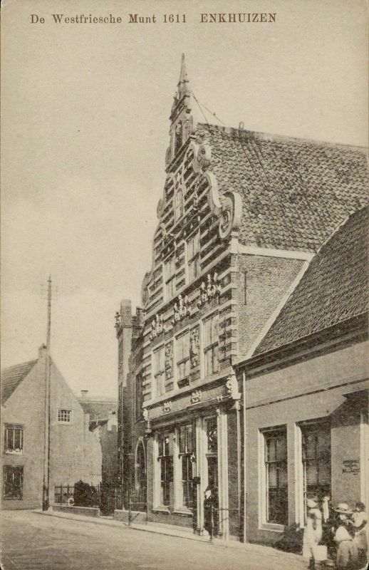
4. De Westfriesche Munt
Credits. This page was last revised on September 13, 2026. It was originally submitted on September 13, 2026, by Andrew Ruppenstein of Lamorinda, California. This page has been viewed 4 times since then. Photos: 1, 2, 3, 4. submitted on September 13, 2026, by Andrew Ruppenstein of Lamorinda, California.
