Thomasville in Thomas County, Georgia — The American South (South Atlantic)
How Did They Get Water?
Photographed by Cosmos Mariner, October 6, 2025
1. How Did They Get Water? Marker
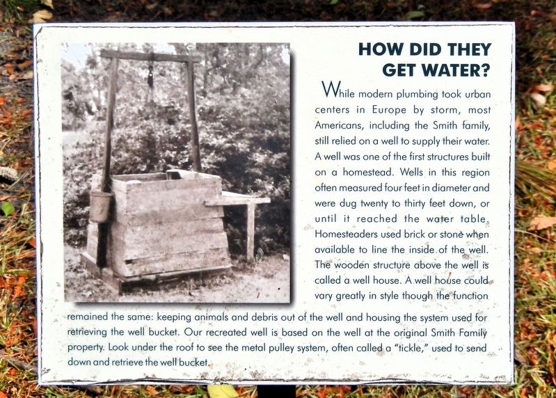
While modern plumbing took urban centers in Europe by storm, most Americans, including the Smith family, still relied on a well to supply their water. A well was one of the first structures built on a homestead. Wells in this region often measured four feet in diameter and were dug twenty to thirty feet down, or until it reached the water table. Homesteaders used brick or stone when available to line the inside of the well. The wooden structure above the well is called a well house. A well house could vary greatly in style though the function remained the same: Keeping animals and debris out of the well and housing the system used for retrieving the well bucket. Our recreated well is based on the well at the original Smith Family property. Look under the roof to see the metal pulley system, often called a “tickle,” used to send down and retrieve the well bucket.
Erected by Thomasville History Center.
Topics. This historical marker is listed in this topic list: Settlements & Settlers.
Location. 30° 50.729′ N, 83° 59.079′ W. Marker is in Thomasville, Georgia, in Thomas
this page online

Regionally, this marker is on Georgia’s Coastal Plain. It is also in the American South, specifically in the Deep South, and in the Wiregrass. Globally, it is in North America, the Western Hemisphere, the Western World, and the Anglosphere. Historically, it finds itself in what was once the territory of the Mississippian Culture, one of the original Thirteen Colonies, one of the Confederate States of America, and the Antebellum South.
Other nearby markers. At least 8 other markers are within walking distance of this marker: Rufus Smith Log House (a few steps from this marker); Welcome to the Smith Family Homestead (within shouting distance of this marker); Roberts Family Garage (within shouting distance of this marker); Yeoman Tool Shed (within shouting distance of this

Photographed by Cosmos Mariner, October 6, 2025
2. How Did They Get Water? Marker

Photographed by Cosmos Mariner, October 6, 2025
3. Well House Replica
Credits. This page was last revised on September 13, 2026. It was originally submitted on September 13, 2026, by Cosmos Mariner of Cape Canaveral, Florida. This page has been viewed 8 times since then. Photos: 1, 2, 3. submitted on September 13, 2026, by Cosmos Mariner of Cape Canaveral, Florida.
