Lincoln Township in Sipesville in Somerset County, Pennsylvania — The American Northeast (Mid-Atlantic)
9 for 9
Photographed by Bradley Owen, August 26, 2026
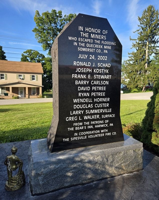
1. 9 for 9 Marker
Somerset Co., Pa
July 24, 2002
Ronald J. Schad • Joseph Kostyk • Frank E. Stewart • Barry Carlson • David Petree • Ryan Petree • Wendell Horner • Douglas Custer • Larry Summerville • Greg L. Walker, Surfac e
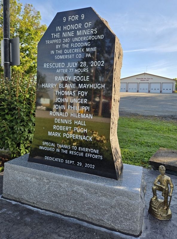
In honor of the nine miners trapped 240' underground by the flooding in the Quecreek Mine
Somerset Co., Pa
Rescued July 28, 2002
after 77 hours
Randy Fogle • Harry Blaine Mayhugh • Thomas Foy • John Unger • John Phillippi • Ronald Hileman • Dennis Hall • Robert Pugh • Mark Popernack
Special thanks to everyone involved in the rescue efforts
Erected 2002 by The Patrons of the Bear's Inn, Harwick, Pa. and the Sipesville Volunteer Fire Co.
Topics. This historical marker is listed in these topic lists: Disasters • Industry & Commerce. A significant historical date for this entry is July 24, 2002.
Location. 40° 5.962′ N, 79° 5.54′ W. Marker is in Sipesville, Pennsylvania, in Somerset County. It is in Lincoln Township. It is on Pennsylvania Route 4002 west of Sipesville Road, on the right when traveling west. Marker is
this page online

Regionally, this marker is in Pennsylvania’s Laurel Highlands. It is also in the American Northeast, in the Mid-Atlantic, in Appalachia, and specifically in Northern Appalachia. Globally, it is in North America, the Western Hemisphere, the Western World, and the Anglosphere. Historically, it finds itself in what was once the Haudenosaunee (Iroquois) Confederacy and also one of the original Thirteen Colonies.
Other nearby markers. At least 8 other markers are within 5 miles of this marker, measured as the crow flies: Quecreek Mine Rescue 9 For 9 (approx. 1½ miles away); Quecreek Mine Accident and Rescue (approx. 1½ miles away); Walter's Mill Covered Bridge (approx. 2 miles away); c.1830s Log Farmstead (approx. 2 miles away); St. Paul's Presbyterian Church (approx. 3.9 miles away); Forbes Road (approx. 4.6 miles away); a different marker also named Forbes Road (approx. 4.8 miles away); Highway Attractions (approx.
Photographed by Bradley Owen, August 26, 2026
2. 9 for 9 Marker
Photographed by Bradley Owen, August 26, 2026
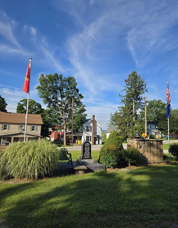
3. 9 for 9 Marker
Credits. This page was last revised on September 13, 2026. It was originally submitted on September 13, 2026, by Bradley Owen of Morgantown, West Virginia. This page has been viewed 6 times since then. Photos: 1, 2, 3. submitted on September 13, 2026, by Bradley Owen of Morgantown, West Virginia.
