La Verne in Los Angeles County, California — The American West (Pacific Coastal)
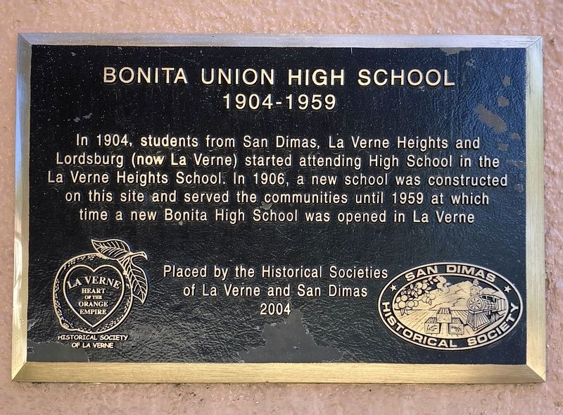
Bonita Union High School
1904-1959
Photographed by Craig Baker, September 13, 2026
1. Bonita Union High School Marker
In 1904, students from San Dimas, La Verne Heights and Lordsburg (now La Verne) started attending High School in the La Verne Heights School. In 1906, a new school was constructed on this site and served the communities until 1959 at which time a new Bonita High School was opened in La Verne.
Erected 2004 by Historical Society of La Verne, and San Dimas Historical Society.
Topics. This historical marker is listed in these topic lists: Education • Settlements & Settlers. A significant historical year for this entry is 1904.
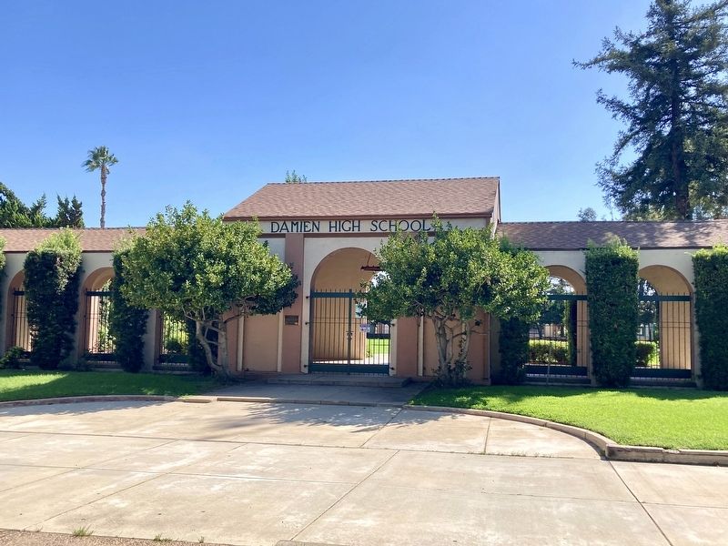
Location. 34° 6.359′ N, 117° 47.255′ W. Marker is in La Verne, California, in Los Angeles County. It is on Bonita Avenue just east of Damien Avenue, on the right when traveling east. Located at Damien High School, on the north side facing Bonita Avenue. Touch for map. Marker is at or near this postal address: 2500 Damien Ave, La Verne CA 91750, United States of America. Touch for directions.

Regionally, this marker is in Greater Los Angeles and in the Transverse Ranges. It is also on the American Pacific Coast. Globally, it is in North America, on the Ring of Fire, on the Pacific
this page online
Other nearby markers. At least 8 other markers are within walking distance of this marker: The Meredith Home (approx. 0.2 miles away); J.M. Johnson Home (approx. half a mile away); Henry L. Kuns Home (approx. half a mile away); Lomeli Adobe (approx. half a mile away); Carob Tree (approx. 0.6 miles away); La Casa de Carrion (approx. 0.7 miles away); The Old Spanish Trail (approx. 0.9 miles away); The Martin House (approx. 0.9 miles away). Touch for a list and map of all markers in La Verne.
Another marker is no longer nearby. La Cienega, Mud Springs, Birthplace of San Dimas (was approx. 0.7 miles away but has been confirmed missing).
Photographed by Craig Baker, September 13, 2026
2. Bonita Union High School Marker
Credits. This page was last revised on September 14, 2026. It was originally submitted on September 14, 2026, by Craig Baker of Sylmar, California. This page has been viewed 13 times since then. Photos: 1, 2. submitted on September 14, 2026, by Craig Baker of Sylmar, California.
