Palo Alto in Santa Clara County, California — The American West (Pacific Coastal)
Bicentennial Redwood Mini Grove
Photographed by Alice Mansell, September 12, 2026
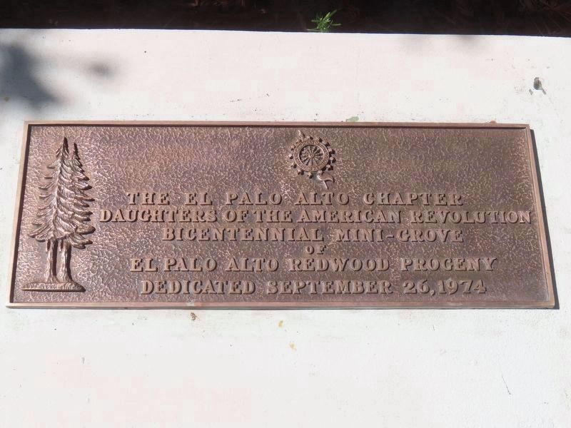
1. Tree Marker
The El Palo Alto Chapter
Daughters of the American Revolution
Bicentennial Mini-Grove of
El Palo Alto Redwood Progeny
Dedicated September 26, 1974
Erected 1974 by Daughters of the American Revolution Palo Alto Chapter.
Topics and series. This historical marker is listed in this topic list: Horticulture & Forestry. In addition, it is included in the Daughters of the American Revolution (DAR) series list.
Location. 37° 26.526′ N, 122° 9.879′ W. Marker is in Palo Alto, California, in Santa Clara County. It can be reached from University Circle, on the left when traveling south. Touch for map. Marker is at or near this postal address: 625 El Camino Real, Palo Alto CA 94301, United States of America. Touch for directions.

Regionally, this marker is in California’s San Francisco Bay Area, in Silicon Valley, and on the Coast Ranges. It is also on the American Pacific Coast. Globally, it is in North America, on the Ring of Fire, in the Pacific Rim, in the Western Hemisphere, in the Western World, and in the Anglosphere. Historically, it finds itself
this page online
Other nearby markers. At least 8 other markers are within walking distance of this marker: America250 Liberty Tree Grove (here, next to this marker); Hostess House (about 400 feet away, measured in a direct line); The Face Book (approx. 0.2 miles away); History of Tower Well (approx. 0.3 miles away); First Elementary School (approx. 0.3 miles away); Electronics Research Laboratory (approx. 0.4 miles away); 401 Florence (approx. 0.4 miles away); San Francisquito Creek Watershed (approx. half a mile away). Touch for a list and map of all markers in Palo Alto.
Another marker is no longer nearby. The Hostess House War and Veterans Memorial (was about 400 feet away but has been confirmed missing).
Photographed by Alice Mansell, September 12, 2026
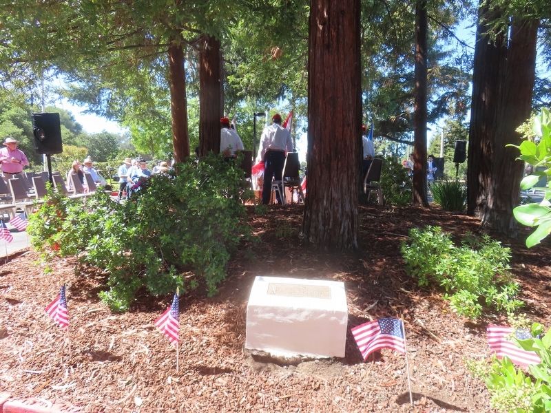
2. 1974 Liberty Tree Grove Marker
The City of Palo Alto’s USA 1976 Bicentennial Committee was instrumental in helping the Daughters of the American Revolution to install this 1974 marker at the hotel parking lot site. The redwood seedlings planted in 1974 were grown with the help of a City staffer.
Photographed by Alice Mansell, September 12, 2026
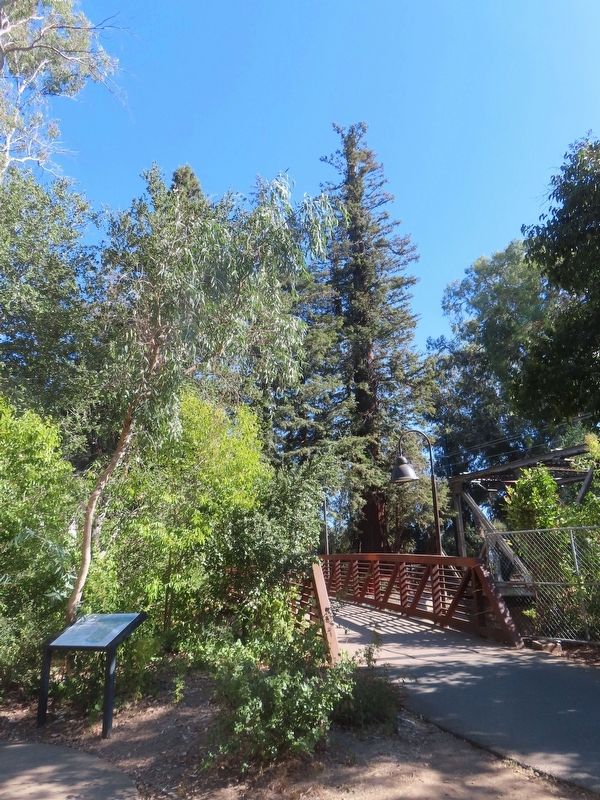
3. El Palo Alto redwood tree at center
Seeds from this tree were used to grow the seedlings for the 1974 mini-grove
Credits. This page was last revised on September 15, 2026. It was originally submitted on September 15, 2026, by Alice Mansell of Los Altos, California. This page has been viewed 3 times since then. Photos: 1. submitted on September 15, 2026, by Alice Mansell of Los Altos, California. 2, 3. submitted on September 14, 2026, by Alice Mansell of Los Altos, California. • Andrew Ruppenstein was the editor who published this page.
