Upper Yoder Township near Johnstown in Cambria County, Pennsylvania — The American Northeast (Mid-Atlantic)
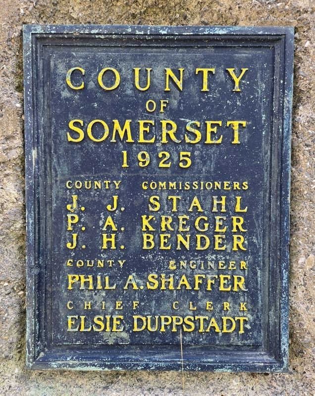
County of Somerset
1925
⎯⎯⎯
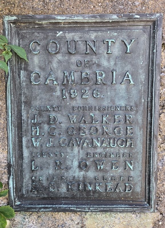
County of Cambria
1926
Photographed by Bradley Owen, August 26, 2026
1. County of Somerset / County of Cambria Marker
(Somerset):
J. J. Stahl • P. A. Kreger • J. H. Bender
County Engineer
Phil A. Shaffer
Chief Clerk
Elsie Duppstadt
(Cambria):
J. D. Walker • H. C. George • W. J. Cavanaugh
County Engineer
L. R. Owen
Chief Clerk
S. S. Kinkead
Topics. This historical marker is listed in these topic lists: Government & Politics • Political Subdivisions.
Location. 40° 17.129′ N, 79° 0.457′ W. Marker is near Johnstown, Pennsylvania, in Cambria County. It is in Upper Yoder Township. It is on Ligonier Pike (Pennsylvania Route 3001) just west of Nitch Lane, on the right when traveling west. Touch for map. Marker is at or near this postal address: 375 Ligonier Pike, Johnstown PA 15905, United States of America. Touch for directions.

Regionally, this marker is in Pennsylvania’s Laurel Highlands. It is also in the American Northeast, in the Mid-Atlantic, in Appalachia, and specifically in Northern Appalachia. Globally, it is in North America, the Western Hemisphere, the Western World, and the Anglosphere. Historically,
this page online
Other nearby markers. At least 8 other markers are within 5 miles of this marker, measured as the crow flies: D.A.R. Great War Honor Roll (approx. 0.6 miles away); Roxbury (approx. 4.4 miles away); Franklin Delano Roosevelt (approx. 4.4 miles away); Samuel Cole (approx. 4.6 miles away); Union Cemetery Marker (approx. 4.6 miles away); George Lucas (approx. 4.6 miles away); 1889 Johnstown Flood Unidentified Dead (approx. 4.7 miles away); Johnstown Civil War Memorial (approx. 4.8 miles away). Touch for a list and map of all markers in Johnstown.
Photographed by Bradley Owen, August 26, 2026
2. County of Somerset / County of Cambria Marker
Photographed by Bradley Owen, August 26, 2026
3. County of Somerset / County of Cambria Marker
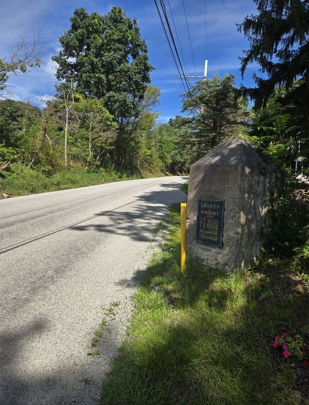
View is looking west.
Photographed by Bradley Owen, August 26, 2026
4. County of Somerset / County of Cambria Marker
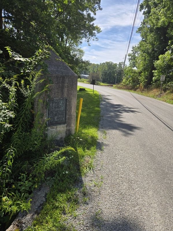
View is looking east.
Credits. This page was last revised on September 16, 2026. It was originally submitted on September 16, 2026, by Bradley Owen of Morgantown, West Virginia. This page has been viewed 9 times since then. Photos: 1, 2, 3, 4. submitted on September 16, 2026, by Bradley Owen of Morgantown, West Virginia.
