Clay in Onondaga County, New York — The American Northeast (Mid-Atlantic)
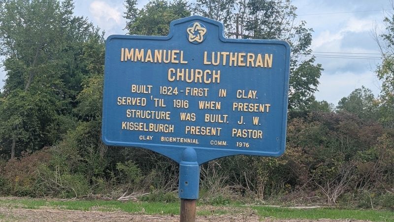
Immanuel Lutheran Church
Photographed by Mira Earls, September 17, 2026
1. Immanuel Lutheran church Marker
Erected 1976 by Clay Bicentennial Committee.
Topics and series. This historical marker is listed in this topic list: Religion & Religious Structures. In addition, it is included in the The Spirit of ’76, America’s Bicentennial Celebration series list. A significant historical year for this entry is 1916.
Location. 43° 12.323′ N, 76° 10.261′ W. Marker is in Clay, New York, in Onondaga County. It is on Verplank Road 0.1 miles west of Caughdenoy Road, on the left when traveling east. Touch for map. Marker is in this post office area: Clay NY 13041, United States of America. Touch for directions.

Regionally, this marker is in Upstate New York, specifically in Central New York, and in the Syracuse Metropolitan Area. It is also in the American Northeast and in the Mid-Atlantic. Globally, it is in North America, on the Great Lakes, in the Western Hemisphere, in the Western World, and in the Anglosphere. Historically, it finds itself in what was once the Haudenosaunee (Iroquois) Confederacy, New Netherland,
this page online
Other nearby markers. At least 8 other markers are within 3 miles of this marker, measured as the crow flies: Cigarville Station (approx. 1.3 miles away); Oak Orchard (approx. 1.7 miles away); Pine Plains (approx. 1.8 miles away); Early School (approx. 2.4 miles away); Riverside Cemetery (approx. 2.8 miles away); Alexis de Tocqueville (approx. 2.8 miles away); Techiroguen (approx. 2.8 miles away); Brewerton Rear-Range Lighthouse / Onedia River Lighthouse Park (approx. 2.8 miles away). Touch for a list and map of all markers in Clay.
Also see . . . Immanuelclay.com. (Submitted on September 17, 2026, by Mira Earls of Cortland, New York.)
Photographed by Mira Earls, September 17, 2026
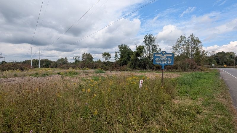
2. Immanuel Lutheran Marker wider view
The road in the distance is Caughdenoy Road. Verplank Road is where this marker is.
Photographed by Mira Earls, September 17, 2026
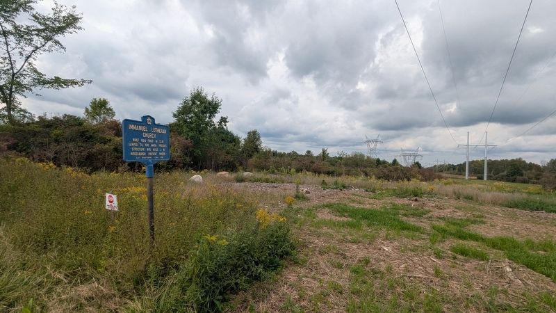
3. Immanuel Lutheran Marker wide view the other direction

Photographed by Mira Earls, September 17, 2026
4. Immanuel Lutheran Marker view across Verplank Road
Photographed by Mira Earls, September 17, 2026
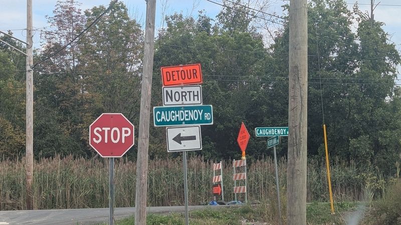
5. Immanuel Lutheran Marker at this intersection
Photographed by Mira Earls, September 17, 2026
6. Immanuel Lutheran Marker wider view
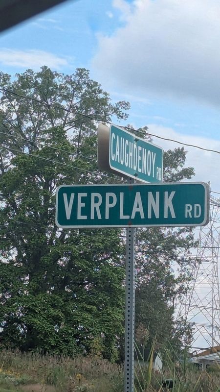
This is the road sign for Verplank Road.
Credits. This page was last revised on September 18, 2026. It was originally submitted on September 17, 2026, by Mira Earls of Cortland, New York. This page has been viewed 16 times since then. Photos: 1, 2, 3, 4, 5, 6. submitted on September 17, 2026, by Mira Earls of Cortland, New York. • Andrew Ruppenstein was the editor who published this page.
