Feuerbach in Stuttgart, Baden-Württemberg, Germany — Central Europe
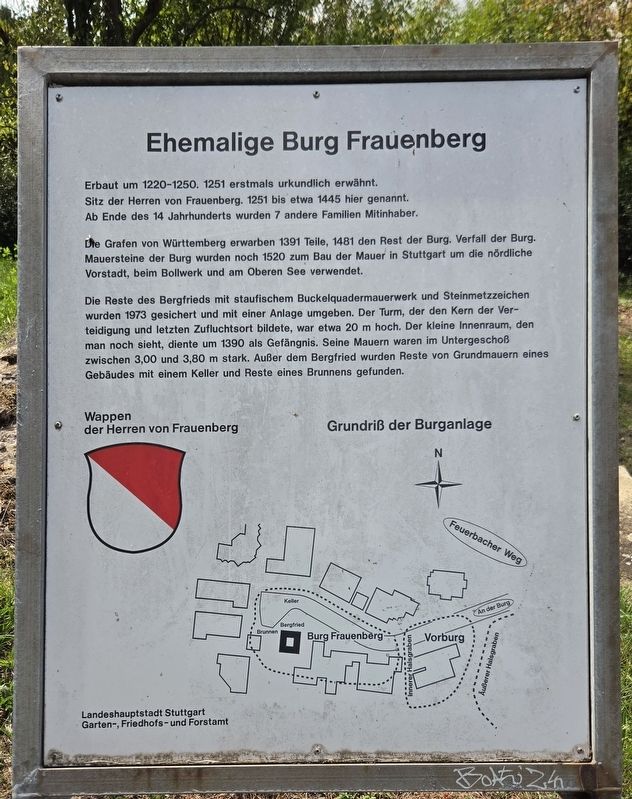
Ehemalige Burg Frauenberg
⎯⎯⎯
Former Frauenberg Castle
Photographed by James Hulse, September 11, 2026
1. Ehemalige Burg Frauenberg / Former Frauenberg Castle Marker

Die Grafen von Württemberg erwarben 1391 Teile, 1481 den Rest der Burg. Verfall der Burg. Mauersteine der Burg wurden noch 1520 zum Bau der Mauer in Stuttgart um die nördliche Vorstadt, beim Bollwerk und am Oberen See verwendet.
Die Reste des Bergfrieds mit staufischem Buckelquadermauerwerk und Steinmetzzeichen wurden 1973 gesichert und mit einer Anlage umgeben. Der Turm, der den Kern der Verteidigung und letzten Zufluchtsort bildete, war etwa 20 m hoch. Der kleine Innenraum, den man noch sieht, diente um 1390 als Gefängnis. Seine Mauern waren im Untergeschoß zwischen 3,00 und 3,80 m stark. Außer dem Bergfried wurden Reste von Grundmauern eines Gebäudes mit einem Keller und Reste eines Brunnens gefunden.
Wappen der Herren von Frauenberg
Grundriß der Burganlage
Built around 1220–1250, Frauenberg Castle was first mentioned in historical records in 1251. It was the residence of the Lords of Frauenberg, who were associated with this site from 1251 until about 1445. Beginning in the late 14th century, seven other families became joint owners.
The Counts of Württemberg acquired parts of the castle in 1391 and the remainder in 1481. The castle subsequently fell into ruin. As late as 1520, stones from the castle were used to build Stuttgart’s wall around the northern suburb, near the fortifications and the Upper Lake.
The remains of the keep, with its Hohenstaufen-style rusticated stonework and
this page online
Coat of arms of the Lords of Frauenberg
Plan of the castle complex
Erected by Landeshauptstadt Stuttgart, Garten-, Friedhofs- und Forstamt.
Topics. This historical marker is listed in this topic list: Forts and Castles. A significant historical year for this entry is 1251.
Location. 48° 48.074′ N, 9° 9.555′ E. Marker is in Feuerbach, Baden-Württemberg, in Stuttgart. It is on An der Burg 0.2 kilometers west of Feuerbacher Weg, on the left when traveling west. Touch for map. Marker is at or near this postal address: An d Burg 17, Feuerbach BW 70192, Germany. Touch for directions.

Regionally, this marker is in German Swabia. Globally, it is in Europe, the European Union, Atlantic Europe, Central Europe, the Schengen Area, Western Europe, and the Western World. Historically, it finds itself in what was once the Roman Empire, the Holy Roman Empire, and the former West Germany.
Other nearby markers. At least 8 other markers are within walking distance of this marker: Karl Graf (approx. 0.4 kilometers away); Günter Granitzer (approx. half a kilometer away); Bellevue (approx. 0.6 kilometers away); Bärenstäffele / Bear Steps (approx. 0.6 kilometers away); Universitätsbandhaus / University Bandhaus
Photographed by James Hulse, September 11, 2026
2. Ehemalige Burg Frauenberg / Former Frauenberg Castle Marker
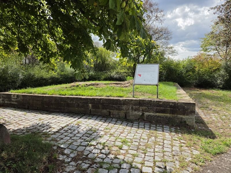
The view of the small ruins left at the site.
Photographed by James Hulse, September 11, 2026
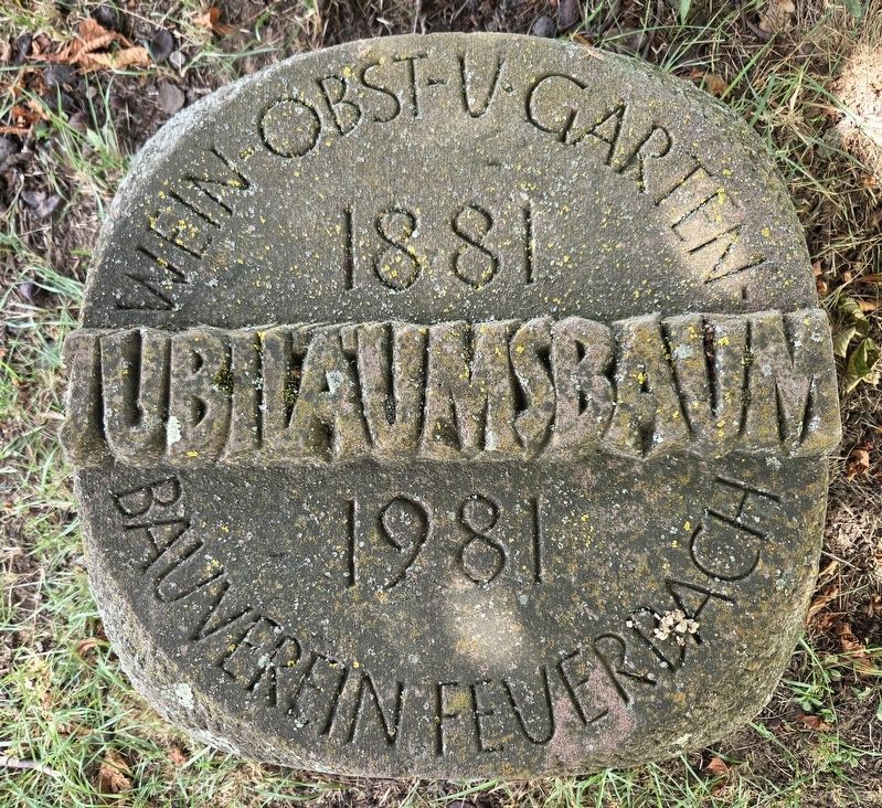
3. Secondary Plaque
Photographed by James Hulse, September 11, 2026
4. Ehemalige Burg Frauenberg / Former Frauenberg Castle Marker
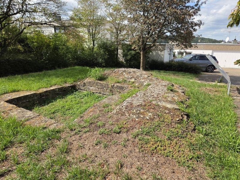
Ruins of the castle.
Photographed by James Hulse, September 11, 2026
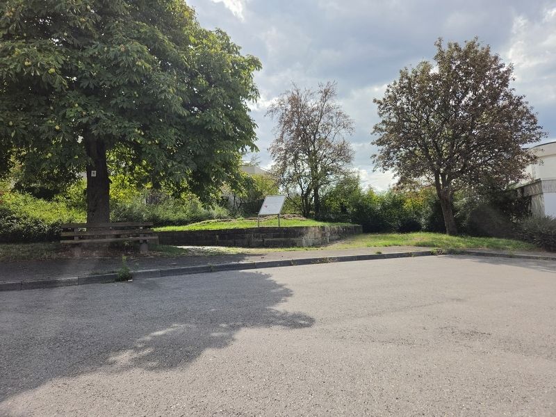
5. Ehemalige Burg Frauenberg / Former Frauenberg Castle Marker
The view of the ruins and marker from the street.
Credits. This page was last revised on September 18, 2026. It was originally submitted on September 18, 2026, by James Hulse of Medina, Texas. This page has been viewed 3 times since then. Photos: 1, 2, 3, 4, 5. submitted on September 18, 2026, by James Hulse of Medina, Texas.
