Solvang in Santa Barbara County, California — The American West (Pacific Coastal)
This is the Original 19th Arch
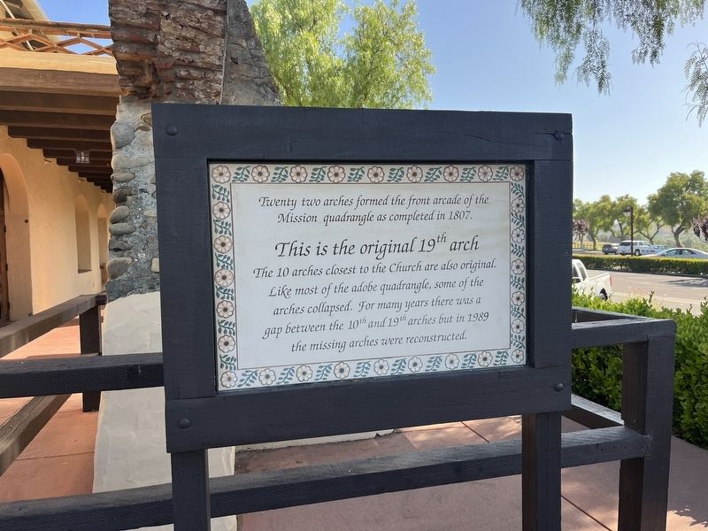
Photographed by Adam Margolis, June 1, 2026
1. This is the Original 19th Arch Marker
Topics. This historical marker is listed in these topic lists: Architecture • Religion & Religious Structures. A significant historical year for this entry is 1807.
Location. 34° 35.636′ N, 120° 8.2′ W. Marker is in Solvang, California, in Santa Barbara County. It is on Mission Drive. Touch for map. Marker is at or near this postal address: 1760 Mission Dr, Solvang CA 93463, United States of America. Touch for directions.

Regionally, this marker is on the Central Coast, specifically on the Coast Ranges, and specifically in the Transverse Ranges. It is also on the American Pacific Coast. Globally, it is in North America, on the Ring of Fire, on the Pacific Rim, in the Western Hemisphere, in the Western World, and in the Anglosphere. Historically, it finds
this page online
Other nearby markers. At least 8 other markers are within walking distance of this marker: Mission Rose Garden (here, next to this marker); The Legendary Mission Grape (a few steps from this marker); Mission Grape Exhibit (a few steps from this marker); Fray Junipero Serra (within shouting distance of this marker); Mission Life (within shouting distance of this marker); Mission Reservoir (about 300 feet away, measured in a direct line); Mission Santa Inéz (about 300 feet away); Bit O' Denmark (about 700 feet away). Touch for a list and map of all markers in Solvang.
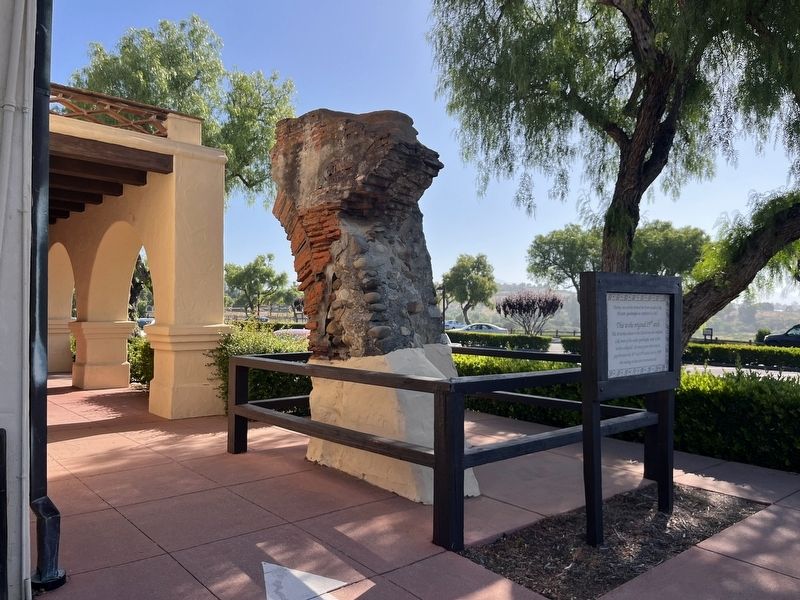
Photographed by Adam Margolis, June 1, 2026
2. This is the Original 19th Arch Marker
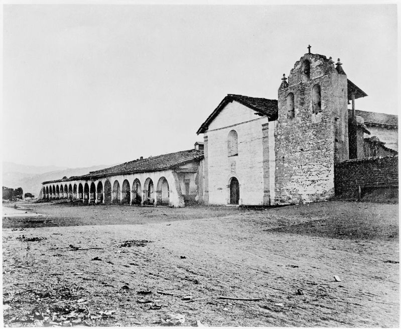
Charles C. Pierce (courtesy The Huntington Digital Library), circa 1870
3. Mission Santa Inez with all the arches standing
When this photo was taken, the mission was less than 70 years old, and the arches had not yet fallen.
Credits. This page was last revised on September 18, 2026. It was originally submitted on September 18, 2026, by Adam Margolis of Mission Viejo, California. This page has been viewed 11 times since then. Photos: 1, 2. submitted on September 18, 2026, by Adam Margolis of Mission Viejo, California. 3. submitted on September 18, 2026. • Andrew Ruppenstein was the editor who published this page.
