Schwetzingerstadt in Mannhiem in Mannheim, Baden-Württemberg, Germany — Central Europe
Hauptbahnhof
⎯⎯⎯
Central Railway Station
| — | Stadtpunkte – Mannheimer Geschichte vor Ort | — |
Photographed by James Hulse, September 16, 2026
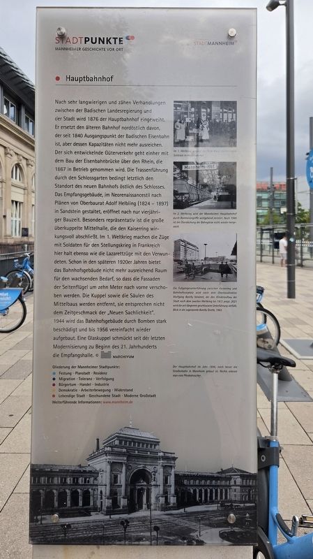
1. Hauptbahnhof / Central Railway Station Marker

Im 1. Weltkrieg versorgt das Rote Kreuz durchreisende Soldaten im Hauptbahnhof.
Im 2. Weltkrieg wird der Mannheimer Hauptbahnhof durch Bombenangriffe weitgehend zerstört. Noch 1949 ist die Überdachung der Bahnsteige nicht wieder hergestellt.
Die Fußgängerunterführung zwischen Kaiserring und Bahnhofsvorplatz wird nach dem Oberbaudirektor Wolfgang Borelly benannt, der den Wiederaufbau der Stadt nach dem Zweiten Weltkrieg bis 1972 prägt. 2021 wird die seit längerem geschlossene Unterführung verfüllt. Blick in die sogenannte Borelly Grotte, 1962.
Der Hauptbahnhof im Jahre 1894, noch bevor die Straßenbahn in Mannheim gebaut ist. Rechts erkennt man eine Pferdedroschke.
After
this page online
Photographed by James Hulse, September 16, 2026
2. Hauptbahnhof / Central Railway Station Marker
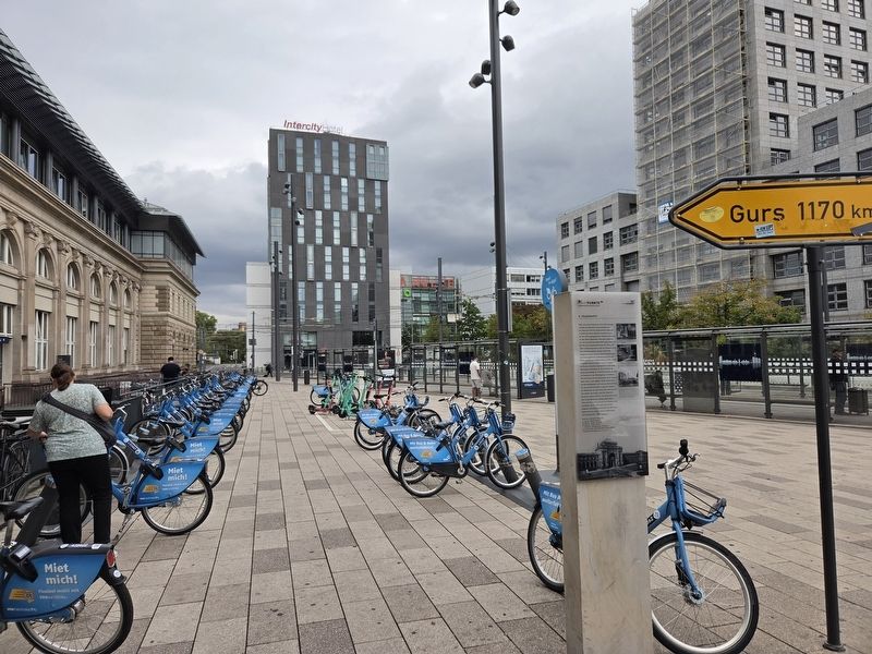
The view of the marker at the entrance to the train station.
During the First World War, the Red Cross assisted soldiers passing through the central station.
During the Second World War, Mannheim Central Station was largely destroyed by bombing. As late as 1949, the platform roof had still not been restored.
The pedestrian underpass between the Kaiserring and the station forecourt was named after senior building director Wolfgang Borelly, who shaped Mannheim’s postwar reconstruction until 1972. The underpass, which had been closed for some time, was filled in during 2021. View into the so-called Borelly Grotto, 1962.
Mannheim Central Station in 1894, before the city’s streetcar system was built. A horse-drawn carriage can be seen on the right.
Erected by MARCHIVUM / City of Mannheim.
Topics. This historical marker is listed in this topic list: Railroads & Streetcars. A significant historical year for this entry is 1876.
Location. 49° 28.797′ N, 8° 28.19′ E. Marker is in Mannhiem, Baden-Württemberg, in Mannheim. It is in Schwetzingerstadt. It is at the intersection of Willy-Brandt-Platz and Tattersallstraße on Willy-Brandt-Platz. Touch for map. Marker is at or near this postal address: Willy-Brandt-Platz 17, Mannhiem BW 68161, Germany. Touch for directions.

Regionally, this marker is on the German Upper Rhine. Globally, it is in Europe, the European Union, Atlantic Europe, Central Europe, the Schengen Area, Western Europe, and the Western World. Historically, it finds itself in what was once the Roman Empire, the Holy Roman Empire, and the former West Germany.
Other nearby markers. At least 8 other markers are within walking distance of this marker: Zwischen Mannheim und Gurs liegen 1170 km / Mannheim and Gurs Are 1,170 Kilometers Apart (here, next to this marker); Henriette Wagner (approx. 0.3 kilometers away); Frieda Berger (approx. 0.4 kilometers away); Ferdinand Maas (approx. 0.4 kilometers away); Gertrud Hirschler (approx. 0.4 kilometers away); Josef Hirschler (approx. 0.4 kilometers away); Inge Maria Hirschler (approx. 0.4 kilometers away); Schloss, Universität / Palace, University (approx. half a kilometer away). Touch for a list and map of all markers in Mannhiem.
More about this marker. There is another marker separately attached on the other side of the post.
Credits. This page was last revised on September 19, 2026. It was originally submitted on September 19, 2026, by James Hulse of Medina, Texas. This page has been viewed 8 times since then. Photos: 1, 2. submitted on September 19, 2026, by James Hulse of Medina, Texas.
